File:Exterior panel detail taken from the south - Kentucky 1013 Bridge, Spanning Sand Lick Creek at Kentucky Route 1013, Plummers Landing, Fleming County, KY HAER KY-29-7.tif
Jump to navigation
Jump to search
Size of this JPG preview of this TIF file: 742 × 600 pixels. Other resolutions: 297 × 240 pixels | 594 × 480 pixels | 950 × 768 pixels | 1,267 × 1,024 pixels | 2,534 × 2,048 pixels | 5,325 × 4,304 pixels.
Original file (5,325 × 4,304 pixels, file size: 21.86 MB, MIME type: image/tiff)
Captions
Captions
Add a one-line explanation of what this file represents
Summary[edit]
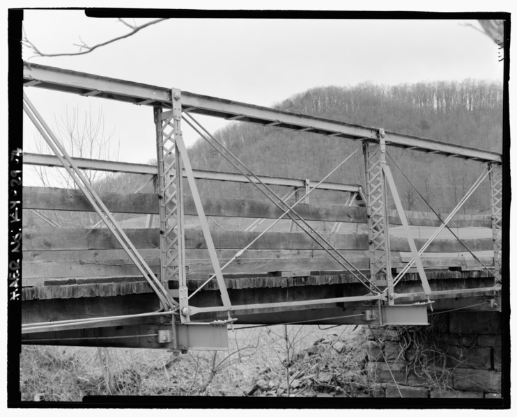
| Exterior panel detail taken from the south - Kentucky 1013 Bridge, Spanning Sand Lick Creek at Kentucky Route 1013, Plummers Landing, Fleming County, KY | ||||
|---|---|---|---|---|
| Title |
Exterior panel detail taken from the south - Kentucky 1013 Bridge, Spanning Sand Lick Creek at Kentucky Route 1013, Plummers Landing, Fleming County, KY |
|||
| Description |
Pittsburg Bridge Company; Calloway, Deborah, transmitter; Morris, R M, photographer; Fiegel, Jayne Henderson, historian |
|||
| Depicted place | Kentucky; Fleming County; Plummers Landing | |||
| Date | Documentation compiled after 1968 | |||
| Dimensions | 4 x 5 in. | |||
| Current location |
Library of Congress Prints and Photographs Division Washington, D.C. 20540 USA http://hdl.loc.gov/loc.pnp/pp.print |
|||
| Accession number |
HAER KY-29-7 |
|||
| Credit line |
|
|||
| Notes |
|
|||
| Source | https://www.loc.gov/pictures/item/ky0316.photos.195875p | |||
| Permission (Reusing this file) |
|
|||

| Object location | | View this and other nearby images on: OpenStreetMap |
|---|
File history
Click on a date/time to view the file as it appeared at that time.
| Date/Time | Thumbnail | Dimensions | User | Comment | |
|---|---|---|---|---|---|
| current | 05:19, 20 July 2014 |  | 5,325 × 4,304 (21.86 MB) | Fæ (talk | contribs) | GWToolset: Creating mediafile for Fæ. HABS 16 July 2014 (1201:1400) |
You cannot overwrite this file.
File usage on Commons
The following page uses this file: