File:Exterior planar view of north (front) facade, showing main entrance, view towards the south, southeast - Pou Coffee Processing Structure, Casa No. 1, Highway 139, Kilometer 12, Maraguez HAER PR-47-A-1.tif
Jump to navigation
Jump to search

Size of this JPG preview of this TIF file: 740 × 599 pixels. Other resolutions: 296 × 240 pixels | 593 × 480 pixels | 948 × 768 pixels | 1,264 × 1,024 pixels | 2,529 × 2,048 pixels | 5,408 × 4,380 pixels.
Original file (5,408 × 4,380 pixels, file size: 22.59 MB, MIME type: image/tiff)
Captions
Captions
Add a one-line explanation of what this file represents
Summary[edit]
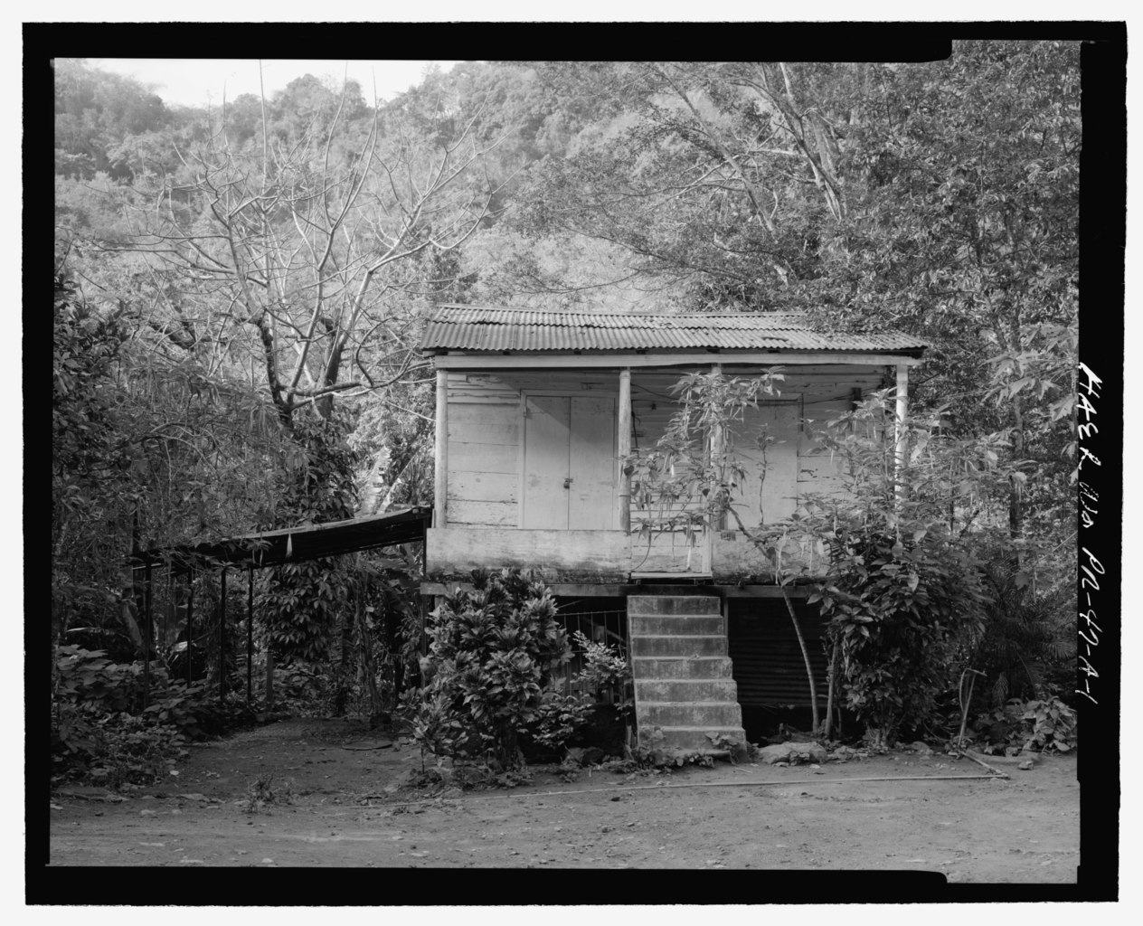
| Exterior planar view of north (front) facade, showing main entrance, view towards the south, southeast - Pou Coffee Processing Structure, Casa No. 1, Highway 139, Kilometer 12, Maraguez, Ponce Municipio, PR | ||||
|---|---|---|---|---|
| Photographer |
Bryant, Richard T. |
|||
| Title |
Exterior planar view of north (front) facade, showing main entrance, view towards the south, southeast - Pou Coffee Processing Structure, Casa No. 1, Highway 139, Kilometer 12, Maraguez, Ponce Municipio, PR |
|||
| Description |
Calloway, Deborah, transmitter |
|||
| Depicted place | Puerto Rico; Ponce Municipio; Maraguez | |||
| Date | 1987 | |||
| Dimensions | 4 x 5 in. | |||
| Current location |
Library of Congress Prints and Photographs Division Washington, D.C. 20540 USA http://hdl.loc.gov/loc.pnp/pp.print |
|||
| Accession number |
HAER PR-47-A-1 |
|||
| Credit line |
|
|||
| Notes |
|
|||
| Source | https://www.loc.gov/pictures/item/pr1517.photos.221445p | |||
| Permission (Reusing this file) |
|
|||

| Object location | | View this and other nearby images on: OpenStreetMap |
|---|
File history
Click on a date/time to view the file as it appeared at that time.
| Date/Time | Thumbnail | Dimensions | User | Comment | |
|---|---|---|---|---|---|
| current | 13:02, 1 August 2014 |  | 5,408 × 4,380 (22.59 MB) | Fæ (talk | contribs) | GWToolset: Creating mediafile for Fæ. HABS 31 July 2014 (3000:3200) |
You cannot overwrite this file.
File usage on Commons
The following page uses this file: