File:FIRST FLOOR, FIREPLACE IN NORTHEAST CORNER - House, U.S. Route 1 vicinity (moved to Bacton), Concordville, Delaware County, PA HABS PA,23-CON,2-4.tif
Jump to navigation
Jump to search
Size of this JPG preview of this TIF file: 476 × 599 pixels. Other resolutions: 191 × 240 pixels | 381 × 480 pixels | 610 × 768 pixels | 813 × 1,024 pixels | 1,627 × 2,048 pixels | 4,314 × 5,431 pixels.
Original file (4,314 × 5,431 pixels, file size: 22.35 MB, MIME type: image/tiff)
Captions
Captions
Add a one-line explanation of what this file represents
Summary[edit]
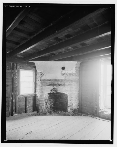
| FIRST FLOOR, FIREPLACE IN NORTHEAST CORNER - House, U.S. Route 1 vicinity (moved to Bacton), Concordville, Delaware County, PA | ||||
|---|---|---|---|---|
| Photographer |
Eisenman, George Related names:
|
|||
| Title |
FIRST FLOOR, FIREPLACE IN NORTHEAST CORNER - House, U.S. Route 1 vicinity (moved to Bacton), Concordville, Delaware County, PA |
|||
| Depicted place | Pennsylvania; Delaware County; Concordville | |||
| Date | 1968 | |||
| Dimensions | 8 x 10 in. | |||
| Current location |
Library of Congress Prints and Photographs Division Washington, D.C. 20540 USA http://hdl.loc.gov/loc.pnp/pp.print |
|||
| Accession number |
HABS PA,23-CON,2-4 |
|||
| Credit line |
|
|||
| Notes |
|
|||
| Source | https://www.loc.gov/pictures/item/pa0410.photos.215432p | |||
| Permission (Reusing this file) |
|
|||

| Object location | | View this and other nearby images on: OpenStreetMap |
|---|
File history
Click on a date/time to view the file as it appeared at that time.
| Date/Time | Thumbnail | Dimensions | User | Comment | |
|---|---|---|---|---|---|
| current | 18:44, 2 August 2014 |  | 4,314 × 5,431 (22.35 MB) | Fæ (talk | contribs) | GWToolset: Creating mediafile for Fæ. HABS 2014-08-01 2601-2900 missing |
You cannot overwrite this file.
File usage on Commons
The following page uses this file: