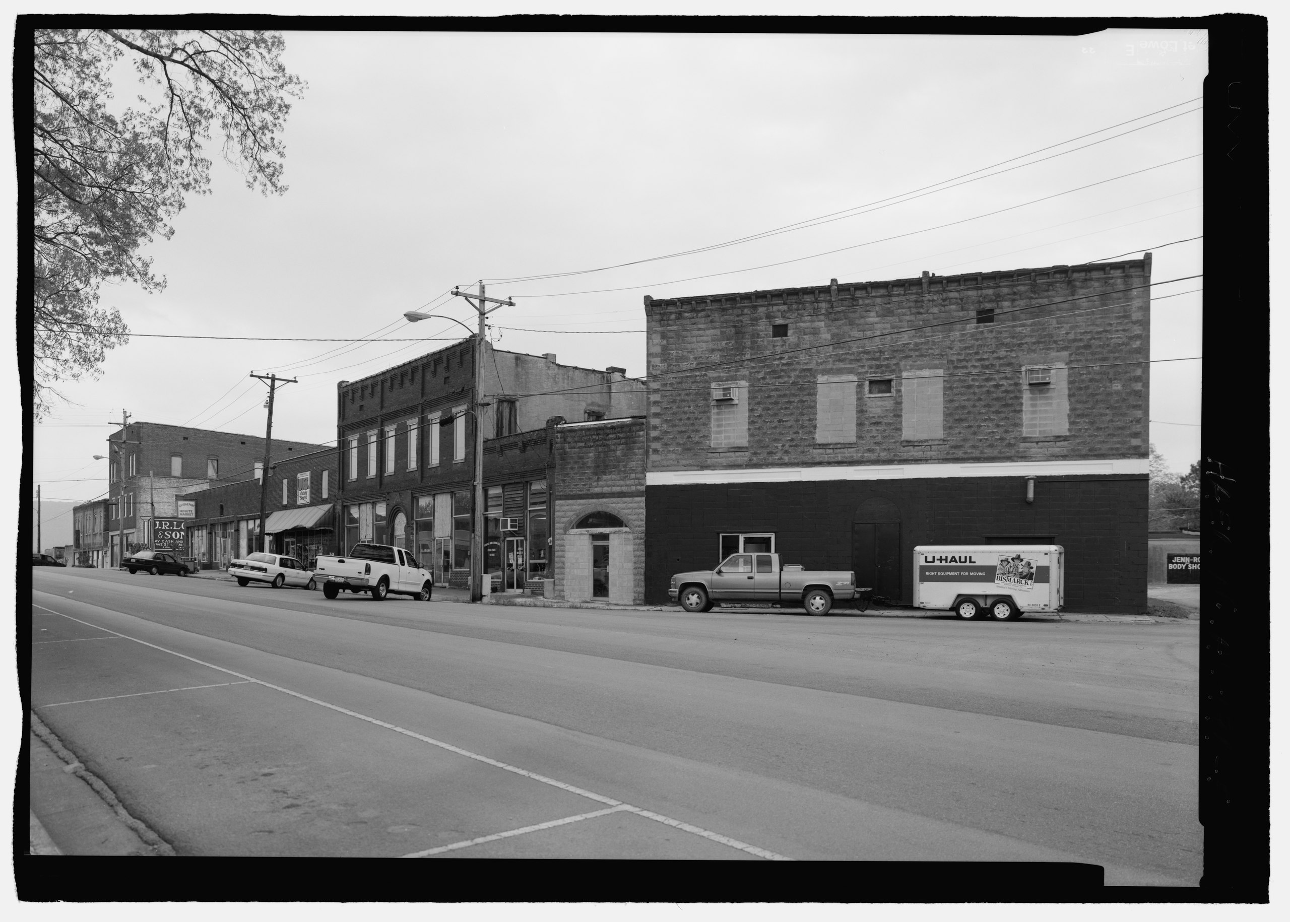
File:FROM R TO L JONES, SPILLER AND WORDS BUILDINGS. - Bridgeport Downtown, Bridgeport, Jackson County, AL HAER AL-196-5.tif
Jump to navigation
Jump to search

Size of this JPG preview of this TIF file: 800 × 572 pixels. Other resolutions: 320 × 229 pixels | 640 × 457 pixels | 1,024 × 732 pixels | 1,280 × 915 pixels | 2,560 × 1,830 pixels | 5,139 × 3,673 pixels.
Original file (5,139 × 3,673 pixels, file size: 18 MB, MIME type: image/tiff)
Captions
Captions
Add a one-line explanation of what this file represents
Summary
[edit]| FROM R TO L JONES, SPILLER AND WORDS BUILDINGS. - Bridgeport Downtown, Bridgeport, Jackson County, AL | ||||
|---|---|---|---|---|
| Photographer |
Lowe, Jet Related names:
|
|||
| Title |
FROM R TO L JONES, SPILLER AND WORDS BUILDINGS. - Bridgeport Downtown, Bridgeport, Jackson County, AL |
|||
| Depicted place | Alabama; Jackson County; Bridgeport | |||
| Date | 2000 | |||
| Medium | 5 x 7 in. | |||
| Current location |
Library of Congress Prints and Photographs Division Washington, D.C. 20540 USA http://hdl.loc.gov/loc.pnp/pp.print |
|||
| Accession number |
HAER AL-196-5 |
|||
| Credit line |
|
|||
| Notes |
|
|||
| Source | https://www.loc.gov/pictures/item/al1303.photos.193394p | |||
| Permission (Reusing this file) |
|
|||

| Object location | | View this and other nearby images on: OpenStreetMap |
|---|
File history
Click on a date/time to view the file as it appeared at that time.
| Date/Time | Thumbnail | Dimensions | User | Comment | |
|---|---|---|---|---|---|
| current | 16:29, 26 June 2014 |  | 5,139 × 3,673 (18 MB) | Fæ (talk | contribs) | GWToolset: Creating mediafile for Fæ. HABS batch upload restart 26 June 2014 (151:200) |
You cannot overwrite this file.
File usage on Commons
The following page uses this file: