File:Fodder Beet harvesting - geograph.org.uk - 1241327.jpg
Jump to navigation
Jump to search
No higher resolution available.
Fodder_Beet_harvesting_-_geograph.org.uk_-_1241327.jpg (640 × 480 pixels, file size: 84 KB, MIME type: image/jpeg)
Captions
Captions
Add a one-line explanation of what this file represents
Summary
[edit]| Description |
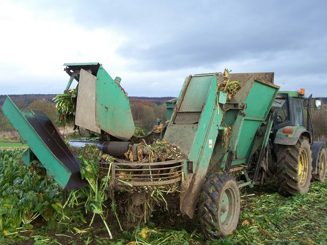
English: Fodder Beet harvesting. Harvesting this root crop for cattle feed on a cold autumn afternoon at Balgownie Mains. |
||
| Date | |||
| Source | From geograph.org.uk | ||
| Author | James T M Towill | ||
| Permission (Reusing this file) |
This file is licensed under the Creative Commons Attribution-Share Alike 2.0 Generic license. Attribution: James T M Towill
|
||
| Attribution (required by the license) | James T M Towill / Fodder Beet harvesting / | ||

| Camera location | | View this and other nearby images on: OpenStreetMap |
|---|
_heading:45.00&language=en)
| Object location | | View this and other nearby images on: OpenStreetMap |
|---|
_heading:45.00&language=en)
File history
Click on a date/time to view the file as it appeared at that time.
| Date/Time | Thumbnail | Dimensions | User | Comment | |
|---|---|---|---|---|---|
| current | 16:33, 26 February 2011 | | 640 × 480 (84 KB) | GeographBot (talk | contribs) | == {{int:filedesc}} == {{Information |description={{en|1=Fodder Beet harvesting Harvesting this root crop for cattle feed on a cold autumn afternoon at Balgownie Mains.}} |date=2007-11-10 |source=From [http://www.geograph.org.uk/photo/1241327 geograph.org |
You cannot overwrite this file.
File usage on Commons
There are no pages that use this file.
File usage on other wikis
The following other wikis use this file:
- Usage on nn.wikipedia.org