File:Folly House on a 1930s Ordnance Survey map.jpg
Jump to navigation
Jump to search

Size of this preview: 800 × 495 pixels. Other resolutions: 320 × 198 pixels | 640 × 396 pixels | 1,024 × 634 pixels | 1,280 × 792 pixels | 2,560 × 1,584 pixels | 4,500 × 2,785 pixels.
Original file (4,500 × 2,785 pixels, file size: 2.04 MB, MIME type: image/jpeg)
Captions
Captions
Add a one-line explanation of what this file represents
| Description |
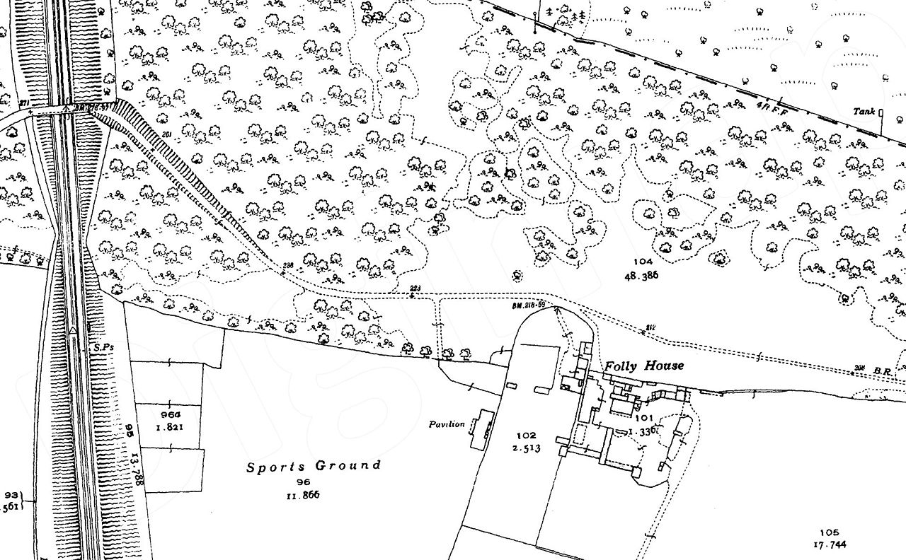
English: Folly House on a 1930s Ordnance Survey map. |
|||
| Date | 1930s | |||
| Source | Scan of originals | |||
| Author | Ordnance Survey | |||
| Permission (Reusing this file) |
|

File history
Click on a date/time to view the file as it appeared at that time.
| Date/Time | Thumbnail | Dimensions | User | Comment | |
|---|---|---|---|---|---|
| current | 22:03, 25 May 2017 | | 4,500 × 2,785 (2.04 MB) | Philafrenzy (talk | contribs) | {{Information |Description ={{en|1=Folly House on a 1930s Ordnance Survey map.}} |Source =Scan of originals |Author =Ordnance Survey |Date =1930s |Permission ={{PD-UKGov}} |other_versions = }} [[Category:Folly Farm, Ba... |
You cannot overwrite this file.
File usage on Commons
There are no pages that use this file.
File usage on other wikis
The following other wikis use this file:
- Usage on en.wikipedia.org