File:Gate onto the green - geograph.org.uk - 1267582.jpg
Jump to navigation
Jump to search
No higher resolution available.
Gate_onto_the_green_-_geograph.org.uk_-_1267582.jpg (640 × 480 pixels, file size: 121 KB, MIME type: image/jpeg)
Captions
Captions
Add a one-line explanation of what this file represents
Summary
[edit]
| Description |
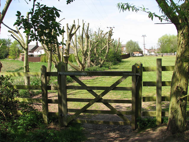
English: Gate onto the green The green is adjoins the northern-most section of Chapel Lane in the west and forms part of the infilled Wisbech canal. The Wisbech Canal (opened in 1797) - planned as a means to improve the status of Wisbech as a trading centre - linked the River Nene at Wisbech with Well Creek at Outwell. It was constructed on embankments for most of its 8.4 km length because of the low level of the Fen landscape. When the Wisbech and Upwell Tramway opened in 1883, running parallel with the canal, the coal transported by the railway was initially loaded into boats for further transport but by 1922 all traffic had ceased and in 1926 the canal was abandoned. Derelict for many decades, the section nearer Wisbech was filled in during the early 1970s, allowing for the construction of the A1101/Churchill Road link without destroying the historic town centre. The rest of the canal was used as a landfill site. Sections which were not buried under the new road (A1101) have been planted with trees and can be walked. Wisbech_Canal |
| Date | |
| Source | From geograph.org.uk |
| Author | Evelyn Simak |
| Attribution (required by the license) | Evelyn Simak / Gate onto the green / |
| Camera location | | View this and other nearby images on: OpenStreetMap |
|---|
_heading:292.00&language=en)
| Object location | | View this and other nearby images on: OpenStreetMap |
|---|
_heading:292.00&language=en)
Licensing
[edit]

|
This image was taken from the Geograph project collection. See this photograph's page on the Geograph website for the photographer's contact details. The copyright on this image is owned by Evelyn Simak and is licensed for reuse under the Creative Commons Attribution-ShareAlike 2.0 license.
|
This file is licensed under the Creative Commons Attribution-Share Alike 2.0 Generic license.
Attribution: Evelyn Simak
- You are free:
- to share – to copy, distribute and transmit the work
- to remix – to adapt the work
- Under the following conditions:
- attribution – You must give appropriate credit, provide a link to the license, and indicate if changes were made. You may do so in any reasonable manner, but not in any way that suggests the licensor endorses you or your use.
- share alike – If you remix, transform, or build upon the material, you must distribute your contributions under the same or compatible license as the original.
File history
Click on a date/time to view the file as it appeared at that time.
| Date/Time | Thumbnail | Dimensions | User | Comment | |
|---|---|---|---|---|---|
| current | 23:27, 26 February 2011 | | 640 × 480 (121 KB) | GeographBot (talk | contribs) | == {{int:filedesc}} == {{Information |description={{en|1=Gate onto the green The green is adjoins the northern-most section of Chapel Lane in the west and forms part of the infilled Wisbech canal. The Wisbech Canal (opened in 1797) - planned as a means to |
You cannot overwrite this file.
File usage on Commons
There are no pages that use this file.