File:German Empire 1914 adm location map.svg

原始檔案 (SVG 檔案,表面大小:1,425 × 1,133 像素,檔案大小:761 KB)
說明
說明
摘要
[編輯]
| 描述 |
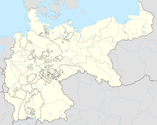
Deutsch: Positionskarte für das Deutsche Reich 1914
English: Location map of the German Empire 1914
|
||||||||||||
| 日期 | |||||||||||||
| 來源 |
個人作品,使用:
|
||||||||||||
| 作者 | NordNordWest | ||||||||||||

|
|
授權條款
[編輯]
Usage of this file with:

explanatory notes: Legally binding is only the full legalcode. For a free usage I recommend to respect the following licence conditions:
1. Provide my name as given above: NordNordWest,
2. a copy of, or the URI for, the applicable license: https://creativecommons.org/licenses/by-sa/3.0/de/legalcode,
3. the title of the work,
4. in the case of an adaptation, a credit identifying the use of the work in the adaptation.
This license and the rights granted hereunder will terminate automatically upon any breach by you of the terms of this license. Any of the above conditions can be waived if you get permission from the copyright holder. If you have questions or wish differing conditions, please contact me through nnwest or my discussion page ![]() t-online.de
t-online.de
- 您可以自由:
- 分享 – 複製、發佈和傳播本作品
- 重新修改 – 創作演繹作品
- 惟需遵照下列條件:
- 姓名標示 – 您必須指名出正確的製作者,和提供授權條款的連結,以及表示是否有對內容上做出變更。您可以用任何合理的方式來行動,但不得以任何方式表明授權條款是對您許可或是由您所使用。
- 相同方式分享 – 如果您利用本素材進行再混合、轉換或創作,您必須基於如同原先的相同或兼容的條款,來分布您的貢獻成品。

檔案歷史
點選日期/時間以檢視該時間的檔案版本。
| 日期/時間 | 縮圖 | 尺寸 | 使用者 | 備註 | |
|---|---|---|---|---|---|
| 目前 | 2015年6月15日 (一) 18:00 | | 1,425 × 1,133(761 KB) | NordNordWest(留言 | 貢獻) | c |
| 2015年6月13日 (六) 21:35 |  | 1,425 × 1,133(761 KB) | NordNordWest(留言 | 貢獻) | corr | |
| 2015年6月12日 (五) 08:08 |  | 1,425 × 1,133(761 KB) | NordNordWest(留言 | 貢獻) | c | |
| 2015年6月10日 (三) 20:00 |  | 1,425 × 1,133(763 KB) | NordNordWest(留言 | 貢獻) | c | |
| 2015年6月9日 (二) 09:05 |  | 1,425 × 1,133(754 KB) | NordNordWest(留言 | 貢獻) | c | |
| 2015年6月9日 (二) 08:54 |  | 1,425 × 1,133(762 KB) | NordNordWest(留言 | 貢獻) | == {{int:filedesc}} == {{Information |Description= {{de|1=Positionskarte für das Deutsche Reich 1914}} {{en|1=Location map of the German Empire 1914}} {{Location map series N |stretching=160 |top=56.0 |bottom=47.2 |left=5.5 |right=23.2 }} |Source={{Ow... |
無法覆蓋此檔案。
檔案用途
下列31個頁面有用到此檔案:
- User:NordNordWest/Gallery/Location maps
- File:Deutschland Autobahnen.svg
- File:East-West-Germany-October 1949-July 1952.svg
- File:East Germany location map.svg
- File:German Empire 1914 adm-e location map.svg
- File:German Empire 1914 adm location map.svg
- File:Germany, Federal Republic of location map 23 May 1949 - 6 Oct 1949.svg
- File:Germany, Federal Republic of location map April 1952 - August 1955.svg
- File:Germany, Federal Republic of location map December 1950 - April 1952.svg
- File:Germany, Federal Republic of location map January 1957 - October 1990.svg
- File:Germany, Federal Republic of location map October 1949 - November 1950.svg
- File:Germany, Federal Republic of location map September 1955 - December 1956.svg
- File:Germany, German Democratic Republic location map January 1957 - October 1990.svg
- File:Germany, German Democratic Republic location map July 1952 - January 1957.svg
- File:Germany, German Democratic Republic location map October 1949 - July 1952.svg
- File:Germany, German Democratic Republic location map w·o FRG July 1952 - October 1990.svg
- File:Germany, German Democratic Republic location map w·o FRG October 1949 - June 1952.svg
- File:Germany, location map (SBZ perspective) 23 May 1949 - 6 Oct 1949.svg
- File:Germany2 location map.svg
- File:Germany location map.svg
- File:Germany location map 23 April 1949 - 22 May 1949.svg
- File:Germany location map 8 Jun 1947 - 22 Apr 1949.svg
- File:Germany location map April 1992 - July 1992.svg
- File:Germany location map August 1992 - June 1993.svg
- File:Germany location map July 1993 - December 2009.svg
- File:Germany location map October 1990 - March 1992.svg
- File:Germany location map labeled 8 Jun 1947 - 22 Apr 1949.svg
- File:Lage Freiberg in Deutschland.png
- File:Relief Map of Germany.png
- File:Relief Map of Germany.svg
- Template:Germany location map/other versions
_23_May_1949_-_6_Oct_1949.svg)
全域檔案使用狀況
以下其他 wiki 使用了這個檔案:
- bxr.wikipedia.org 的使用狀況
- de.wikipedia.org 的使用狀況
- en.wikipedia.org 的使用狀況
- es.wikipedia.org 的使用狀況
- fr.wikipedia.org 的使用狀況
- pl.wikipedia.org 的使用狀況
- Bitwa pod Tannenbergiem
- Bitwa pod Stołupianami
- Bitwa pod Gąbinem
- Bitwa nad jeziorami mazurskimi (1914)
- Strajk dzieci wrzesińskich
- Sophienhof
- Bitwa pod Mülhausen
- Bitwa nad jeziorami mazurskimi (1915)
- Gnadenfrei
- Przejście graniczne Opawa-Malé Hoštice (kolejowe)
- Pomnik Ottona von Bismarcka w Opolu
- Pomnik Germanii w Gliwicach
- Powódź w Poznaniu (1888)
- Strajk szkolny w Poznaniu (1906)
- Katastrofa górnicza w kopalni Kleofas
- Strajk dzieci swarzędzkich
- Moduł:Mapa/dane/Niemcy
- Moduł:Mapa/dane/DEU
- Strzelanina w szkole w Bremie
- Pogrom chojnicki
- Most kolejowy w Racławicach Śląskich (1875–1903)
- Katastrofa tramwajowa w Poznaniu (1912)
- Katastrofa górnicza w kopalni Emma
- Katastrofa górnicza w Bochum (1912)
- Katastrofa sterowca LZ 18
- Brama Elbląska w Gdańsku
- Brama Raduńska
- Dom Szymkowica w Tarnowskich Górach
- pl.wikibooks.org 的使用狀況
- zh.wikipedia.org 的使用狀況