File:Germany, Federal Republic of location map October 1949 - November 1950.svg
跳去導覽
跳去搵嘢

呢個「SVG」檔案嘅呢個「PNG」預覽嘅大細:506 × 599 像素。 第啲解像度:203 × 240 像素 | 405 × 480 像素 | 648 × 768 像素 | 865 × 1,024 像素 | 1,729 × 2,048 像素 | 1,075 × 1,273 像素。
原本檔案 (SVG檔案,表面大細: 1,075 × 1,273 像素,檔案大細:501 KB)
Captions
Captions
Add a one-line explanation of what this file represents
摘要
[編輯]| 描述 |
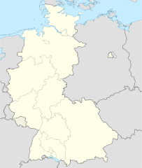
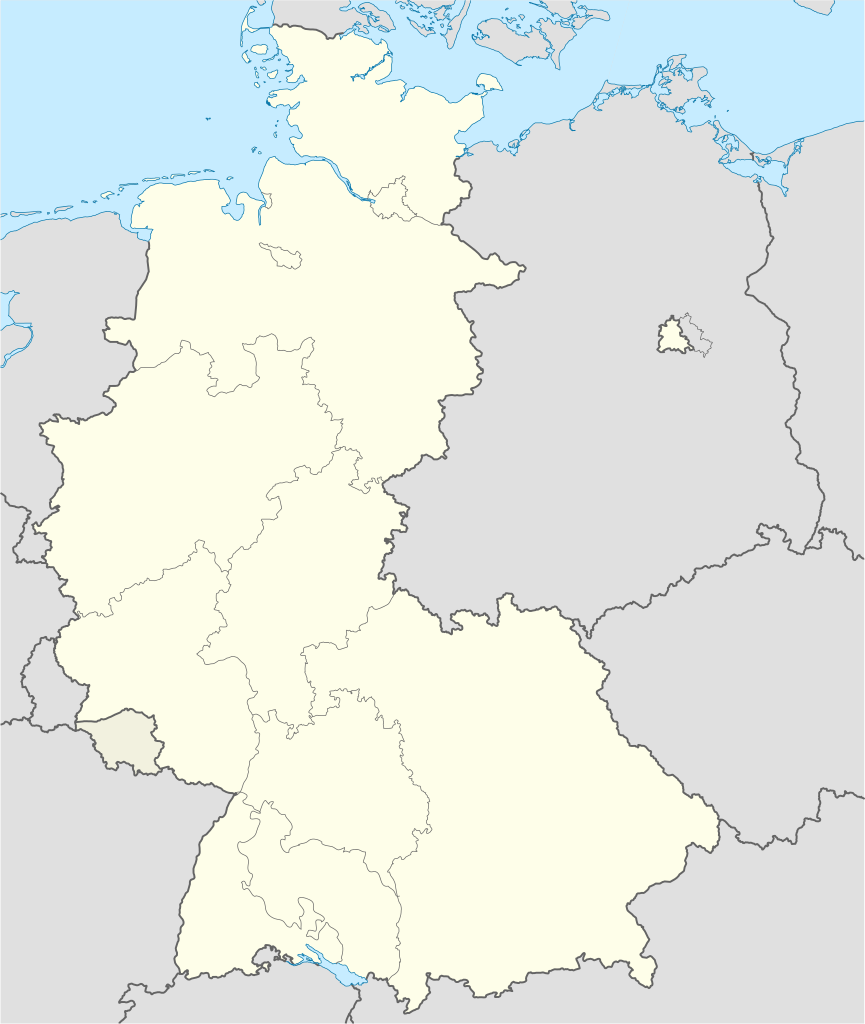
Deutsch: Positionskarte der Bundesrepublik Deutschland. Diese Karte zeigt die Bundesrepublik im Gebietsstand zwischen Oktober 1949 bis November 1950.
Quadratische Plattkarte, N-S-Streckung 150 %. Geographische Begrenzung der Karte:
English: Location map of Federal Republic of Germany. Map shows West-Germany as of October 1949 bis November 1950.
Equirectangular projection, N/S stretching 150 %. Geographic limits of the map:
|
||
| 日期 | Created in 2009 | ||
| 來源 | own work, based on File:Germany location map.svg | ||
| 作者 | TUBS | ||
| 許可 (重用呢個檔案) |
I, the copyright holder of this work, hereby publish it under the following licenses:
呢個檔案用共享創意 姓名標示-非商業性-相同方式分享3.0 未本地化版本條款授權。
你可以揀你想用嘅牌照。 |
||
| Other versions |
Bundesrepublik Deutschland (vor 1990 nur West-Deutschland):
Deutsche Demokratische Republik (mit BRD im Ausschnitt):
Ostdeutschland (vor 1990 Deutsche Demokratische Republik):
Deutschland zwischen Mai 1945 und Oktober 1949:
Thematisch:
Deutsches Reich (1918–1945) (best used with this template (de)):
|


_23_May_1949_-_6_Oct_1949.svg)


_location_map.svg)
_location_map_2013.svg)


檔案歷史
撳個日期/時間去睇響嗰個時間出現過嘅檔案。
| 日期/時間 | 縮圖 | 尺寸 | 用戶 | 註解 | |
|---|---|---|---|---|---|
| 現時 | 2013年9月16號 (一) 14:47 | | 1,075 × 1,273(501 KB) | NordNordWest(傾偈 | 貢獻) | Reverted to version as of 08:35, 16 September 2013; your are destroying the location map template function |
| 2013年9月16號 (一) 12:43 |  | 927 × 1,274(679 KB) | SokoWiki(傾偈 | 貢獻) | Saarland was not part of the Federal Republic of Germany until 1957 and Berlin was not until 1990. | |
| 2013年9月16號 (一) 08:35 |  | 1,075 × 1,273(501 KB) | NordNordWest(傾偈 | 貢獻) | Reverted to version as of 22:13, 15 September 2013 | |
| 2013年9月15號 (日) 22:37 |  | 927 × 1,274(679 KB) | SokoWiki(傾偈 | 貢獻) | Reverted to version as of 20:00, 15 September 2013 | |
| 2013年9月15號 (日) 22:13 |  | 1,075 × 1,273(501 KB) | TUBS(傾偈 | 貢獻) | Reverted to version as of 19:15, 22 January 2009 | |
| 2013年9月15號 (日) 20:00 |  | 927 × 1,274(679 KB) | SokoWiki(傾偈 | 貢獻) | * | |
| 2009年1月22號 (四) 19:15 |  | 1,075 × 1,273(501 KB) | TUBS(傾偈 | 貢獻) | == {{int:filedesc}} == {{Information |Description= {{de|Positionskarte der Bundesrepublik Deutschland. Diese Karte zeigt die Bundesrepublik im Gebietsstand zwischen Oktober 1949 bis November 1950.}} Quadratische Plattkarte, N-S-Strecku |
你無得衾咗個檔案。
檔案用途
以下嘅28版用到呢個檔:
- File:Deutschland Autobahnen.svg
- File:East-West-Germany-October 1949-July 1952.svg
- File:East Germany location map.svg
- File:Germany, Federal Republic of location map 23 May 1949 - 6 Oct 1949.svg
- File:Germany, Federal Republic of location map April 1952 - August 1955.svg
- File:Germany, Federal Republic of location map December 1950 - April 1952.svg
- File:Germany, Federal Republic of location map January 1957 - October 1990.svg
- File:Germany, Federal Republic of location map October 1949 - November 1950.svg
- File:Germany, Federal Republic of location map September 1955 - December 1956.svg
- File:Germany, German Democratic Republic location map January 1957 - October 1990.svg
- File:Germany, German Democratic Republic location map July 1952 - January 1957.svg
- File:Germany, German Democratic Republic location map October 1949 - July 1952.svg
- File:Germany, German Democratic Republic location map w·o FRG July 1952 - October 1990.svg
- File:Germany, German Democratic Republic location map w·o FRG October 1949 - June 1952.svg
- File:Germany, location map (SBZ perspective) 23 May 1949 - 6 Oct 1949.svg
- File:Germany2 location map.svg
- File:Germany location map.svg
- File:Germany location map 23 April 1949 - 22 May 1949.svg
- File:Germany location map 8 Jun 1947 - 22 Apr 1949.svg
- File:Germany location map April 1992 - July 1992.svg
- File:Germany location map August 1992 - June 1993.svg
- File:Germany location map July 1993 - December 2009.svg
- File:Germany location map October 1990 - March 1992.svg
- File:Germany location map labeled 8 Jun 1947 - 22 Apr 1949.svg
- File:Lage Freiberg in Deutschland.png
- File:Relief Map of Germany.png
- File:Relief Map of Germany.svg
- Template:Germany location map/other versions
全域檔案使用情況
下面嘅維基都用緊呢個檔案:
- de.wikipedia.org嘅使用情況
- en.wikipedia.org嘅使用情況
- fi.wikipedia.org嘅使用情況
- no.wikipedia.org嘅使用情況
- pl.wikipedia.org嘅使用情況
- pl.wikibooks.org嘅使用情況
- pt.wikipedia.org嘅使用情況
- ru.wikipedia.org嘅使用情況
- zh-yue.wikipedia.org嘅使用情況