File:Gloucestershire UK locator map 2010.svg
Skočit na navigaci
Skočit na vyhledávání

Velikost tohoto PNG náhledu tohoto SVG souboru: 494 × 600 pixelů. Jiná rozlišení: 198 × 240 pixelů | 395 × 480 pixelů | 633 × 768 pixelů | 843 × 1 024 pixelů | 1 687 × 2 048 pixelů | 1 108 × 1 345 pixelů.
Původní soubor (soubor SVG, nominální rozměr: 1 108 × 1 345 pixelů, velikost souboru: 302 KB)
Popisky
Popisky
Přidejte jednořádkové vysvětlení, co tento soubor představuje
Popis[editovat]
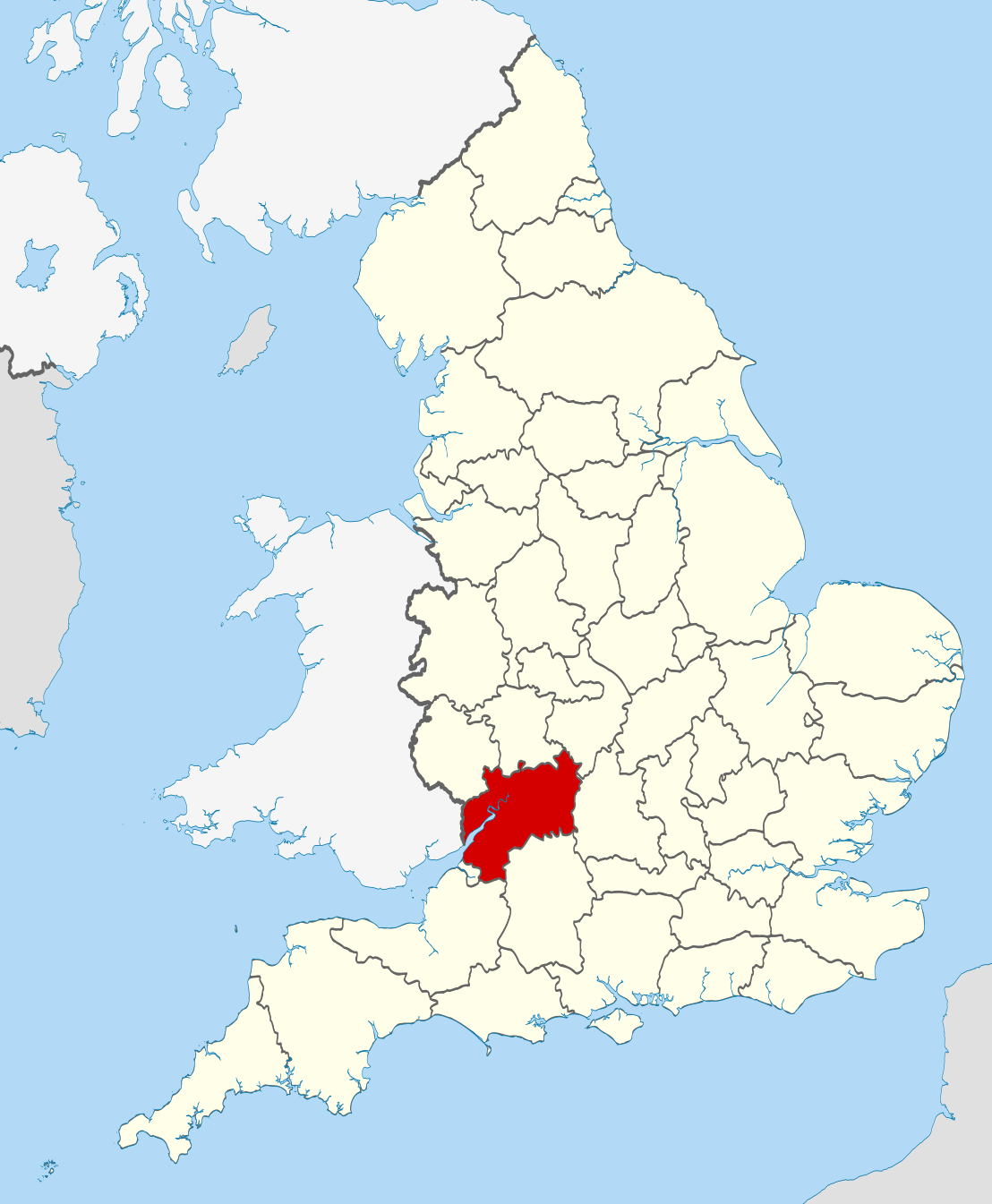
| Popis | Location of the ceremonial county of Gloucestershire within England. |
| Datum | |
| Zdroj |
National Geospatial-Intelligence Agency
|
| Autor | Nilfanion |
Licence[editovat]
Já, držitel autorských práv k tomuto dílu, ho tímto zveřejňuji za podmínek následujících licencí:
Tento soubor podléhá licenci Creative Commons Uveďte autora-Zachovejte licenci 3.0 Unported
- Dílo smíte:
- šířit – kopírovat, distribuovat a sdělovat veřejnosti
- upravovat – pozměňovat, doplňovat, využívat celé nebo částečně v jiných dílech
- Za těchto podmínek:
- uveďte autora – Máte povinnost uvést autorství, poskytnout odkaz na licenci a uvést, pokud jste provedli změny. Toho můžete docílit jakýmkoli rozumným způsobem, avšak ne způsobem naznačujícím, že by poskytovatel licence schvaloval nebo podporoval vás nebo vaše užití díla.
- zachovejte licenci – Pokud tento materiál jakkoliv upravíte, přepracujete nebo použijete ve svém díle, musíte své příspěvky šířit pod stejnou nebo slučitelnou licencí jako originál.

|
Tento dokument smí být kopírován, šířen nebo upravován podle podmínek Svobodné licence GNU pro dokumenty verze 1.2 nebo libovolné vyšší verze publikované nadací Free Software Foundation. Dokument nemá neměnné části ani texty na předním či zadním přebalu. Kopie textu licence je k dispozici v oddíle nazvaném GNU Free Documentation License. |
Můžete si zvolit libovolnou z těchto licencí.

|
This is one of the images forming part of the Valued image set: Locator maps of the Ceremonial counties of England on Wikimedia Commons. The image set has been assessed under the valued image set criteria and is considered the most valued set on Commons within the scope:
Locator maps of the Ceremonial counties of England
You can see its nomination at Commons:Valued image candidates/Locator maps of English ceremonial counties. |
Historie souboru
Kliknutím na datum a čas se zobrazí tehdejší verze souboru.
| Datum a čas | Náhled | Rozměry | Uživatel | Komentář | |
|---|---|---|---|---|---|
| současná | 23. 11. 2010, 22:36 | | 1 108 × 1 345 (302 KB) | Nilfanion (diskuse | příspěvky) | == Summary == {{Information |Description=Location of the ceremonial county of Gloucestershire within England. |Source=Ordnance Survey [https://www.ordnancesurvey.co.uk/opendatadownload/products.html OpenData]: * |
Tento soubor nemůžete přepsat.
Využití souboru
Na Commons na soubor odkazují tyto stránky:
- Valued image set: Locator maps of the Ceremonial counties of England
- Commons:Valued image candidates/Locator maps of English ceremonial counties
- Category:Almshouses in Gloucestershire
- Category:Alumni by school in Gloucestershire
- Category:Births in Gloucestershire
- Category:Bridges in Gloucestershire
- Category:Canals in Gloucestershire
- Category:Cemeteries in Gloucestershire
- Category:Deaths in Gloucestershire
- Category:Geography of Gloucestershire
- Category:Gloucestershire
- Category:Gloucestershire in the 19th century
- Category:Gloucestershire in the 2010s
- Category:Gloucestershire in the 20th century
- Category:Gloucestershire in the 21st century
- Category:Hospitals in Gloucestershire
- Category:Local government in Gloucestershire
- Category:Maps of Gloucestershire
- Category:Meadows in Gloucestershire
- Category:Mines in Gloucestershire
- Category:Populated places in Gloucestershire
- Category:Rail transport in Gloucestershire
- Category:Rivers of Gloucestershire
- Category:Roads in Gloucestershire
- Category:Towers in Gloucestershire
- Category:Tunnels in Gloucestershire
- Category:Views of Gloucestershire
- Category:Villages in Gloucestershire
- Category:Visitor attractions in Gloucestershire
Globální využití souboru
Tento soubor využívají následující wiki:
- Využití na af.wikipedia.org
- Využití na ang.wikipedia.org
- Využití na an.wikipedia.org
- Využití na ast.wikipedia.org
- Využití na be-tarask.wikipedia.org
- Využití na bg.wikipedia.org
- Využití na br.wikipedia.org
- Využití na ca.wikipedia.org
- Využití na ceb.wikipedia.org
- Využití na cs.wikipedia.org
- Využití na da.wikipedia.org
- Využití na en.wikipedia.org
- Gloucestershire
- Tewkesbury Abbey
- Gloucester Cathedral
- Hailes Abbey
- Cambridge, Gloucestershire
- Coombe, Gloucestershire
- River Coln
- Kingswood, Stroud District
- Woodchester
- Ruardean Hill
- Winchcombe Abbey
- Avening Valley
- Amberley, Gloucestershire
- Cashes Green
- Brockhampton, Gloucestershire
- Stone, Gloucestershire
- Bamfurlong, Gloucestershire
- Staverton, Gloucestershire
- Whiteshill, Stroud
- Winstone
- Ablington, Gloucestershire
- River Evenlode
- Template:Gloucestershire-geo-stub
- Workmans Wood, Sheepscombe
- River Cam, Gloucestershire
- Five Valleys
- Uckington, Gloucestershire
- Stoke Orchard
- Knightsbridge, Gloucestershire
- Coombe Hill, Tewkesbury
- Alstone, Tewkesbury
- Boddington, Gloucestershire
- Gretton, Gloucestershire
- Dodington, Gloucestershire
- Hillesley
Zobrazit další globální využití tohoto souboru.