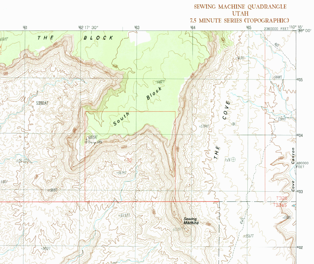
File:Happy Sewing Machine Day! - The Sewing Machine is a pillar in Garfield County and is shown on the Sewing Machine topographic map.png
Original file (1,009 × 847 pixels, file size: 1.18 MB, MIME type: image/png)
Captions
Captions
Summary
[edit]
| Description |
English: We're having a little fun today celebrating National Sewing Machine Day with geographic names.
Did you know that Utah scores big with two sewing machine place names? Sewing Machine Pass, a gap, is located in Beaver County and is shown on the Sewing Machine Pass topographic map. The Sewing Machine is a pillar in Garfield County and is shown on the Sewing Machine topographic map. And for all you sewing fanatics, according to the USGS Geographic Names database at geonames.usgs.gov there are 22 place names with thread in their title, including the towns of Threadville, Mississippi and Silver Thread Falls in New York. Also, look out for Bobbin Mill Branch in Connecticut, Needle Rock in Alaska, and Scissors Crossing in California. The combinations seem endless. Whatever your hobby you'll find interesting place names across the United States. |
| Date | |
| Source | https://www.flickr.com/photos/27784370@N05/27037397793/ |
| Author | U.S. Geological Survey |
Licensing
[edit]
| This image was originally posted to Flickr by U.S. Geological Survey at https://flickr.com/photos/27784370@N05/27037397793. It was reviewed on 5 March 2022 by FlickreviewR 2 and was confirmed to be licensed under the terms of the Public Domain Mark. |
This image is in the public domain in the United States because it only contains materials that originally came from the United States Geological Survey, an agency of the United States Department of the Interior. For more information, see the official USGS copyright policy.
|
File history
Click on a date/time to view the file as it appeared at that time.
| Date/Time | Thumbnail | Dimensions | User | Comment | |
|---|---|---|---|---|---|
| current | 01:56, 19 January 2022 | | 1,009 × 847 (1.18 MB) | Ooligan (talk | contribs) | Uploaded a work by U.S. Geological Survey from https://www.flickr.com/photos/27784370@N05/27037397793/ with UploadWizard |
You cannot overwrite this file.
File usage on Commons
There are no pages that use this file.