File:Harlaxton ironstone railway, reversing point at Swine Hill - geograph.org.uk - 1466455.jpg
Jump to navigation
Jump to search
No higher resolution available.
Harlaxton_ironstone_railway,_reversing_point_at_Swine_Hill_-_geograph.org.uk_-_1466455.jpg (640 × 480 pixels, file size: 197 KB, MIME type: image/jpeg)
Captions
Captions
Add a one-line explanation of what this file represents
Summary[edit]
| Description |
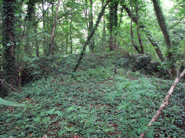
English: Harlaxton ironstone railway: reversing point at Swine Hill. This is the end of the embankment where trains reversed on their way to or from the quarries on the top of the escarpment. The low granite-block "barricade" was probably built as a result of the runaway train of 1951 (or another in 1966), which is noted in my other picture taken at this spot. See other pictures nearby for more on the Harlaxton and Denton railways and quarries. |
| Date | |
| Source | From geograph.org.uk |
| Author | John Sutton |
| Attribution (required by the license) | John Sutton / Harlaxton ironstone railway: reversing point at Swine Hill / |
| Camera location | | View this and other nearby images on: OpenStreetMap |
|---|
_heading:67.00&language=en)
| Object location | | View this and other nearby images on: OpenStreetMap |
|---|
_heading:67.00&language=en)
Licensing[edit]

|
This image was taken from the Geograph project collection. See this photograph's page on the Geograph website for the photographer's contact details. The copyright on this image is owned by John Sutton and is licensed for reuse under the Creative Commons Attribution-ShareAlike 2.0 license.
|
This file is licensed under the Creative Commons Attribution-Share Alike 2.0 Generic license.
Attribution: John Sutton
- You are free:
- to share – to copy, distribute and transmit the work
- to remix – to adapt the work
- Under the following conditions:
- attribution – You must give appropriate credit, provide a link to the license, and indicate if changes were made. You may do so in any reasonable manner, but not in any way that suggests the licensor endorses you or your use.
- share alike – If you remix, transform, or build upon the material, you must distribute your contributions under the same or compatible license as the original.
File history
Click on a date/time to view the file as it appeared at that time.
| Date/Time | Thumbnail | Dimensions | User | Comment | |
|---|---|---|---|---|---|
| current | 08:38, 2 March 2011 | | 640 × 480 (197 KB) | GeographBot (talk | contribs) | == {{int:filedesc}} == {{Information |description={{en|1=Harlaxton ironstone railway: reversing point at Swine Hill This is the end of the embankment where trains reversed on their way to or from the quarries on the top of the escarpment. The low granite- |
You cannot overwrite this file.
File usage on Commons
There are no pages that use this file.