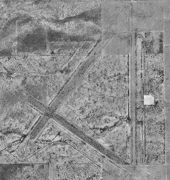
File:Hereford Army Airfield - AZ - 6 Nov 1992.jpg
Jump to navigation
Jump to search

Size of this preview: 569 × 600 pixels. Other resolutions: 228 × 240 pixels | 627 × 661 pixels.
Original file (627 × 661 pixels, file size: 137 KB, MIME type: image/jpeg)
Captions
Captions
Add a one-line explanation of what this file represents
Summary
[edit]| Description | |
| Date | |
| Source |
USGS The National Map, via MSR Maps(formerly TerraServer-USA) |
| Author | United States Geological Survey (USGS) |
| Permission (Reusing this file) |
Public domain |
| Other versions |
|

Licensing
[edit]
This image is in the public domain in the United States because it only contains materials that originally came from the United States Geological Survey, an agency of the United States Department of the Interior. For more information, see the official USGS copyright policy.
|
File history
Click on a date/time to view the file as it appeared at that time.
| Date/Time | Thumbnail | Dimensions | User | Comment | |
|---|---|---|---|---|---|
| current | 00:04, 30 November 2011 | | 627 × 661 (137 KB) | Bwmoll3 (talk | contribs) | contrast enhanced |
| 20:15, 16 April 2008 |  | 627 × 661 (125 KB) | Bwmoll3 (talk | contribs) | {{Information |Description=Hereford Army Airfield |Source=US Gelological Survey via terraserver http://terraserver-usa.com/map.aspx?t=1&s=12&lon=-110.140786&lat=31.416994&w=800&h=800&opt=0&f=&fs=8&fc=ffffff99&lp=---+None+--- |Date=6 Nov 1992 |Author=USGS |
You cannot overwrite this file.
File usage on Commons
The following page uses this file:
File usage on other wikis
The following other wikis use this file:
- Usage on en.wikipedia.org
- Usage on uk.wikipedia.org