File:Hokkaidō géolocalisation.svg
Jump to navigation
Jump to search

Size of this PNG preview of this SVG file: 647 × 599 pixels. Other resolutions: 259 × 240 pixels | 518 × 480 pixels | 829 × 768 pixels | 1,106 × 1,024 pixels | 2,211 × 2,048 pixels | 1,720 × 1,593 pixels.
Original file (SVG file, nominally 1,720 × 1,593 pixels, file size: 1.39 MB)
Captions
Captions
Add a one-line explanation of what this file represents
Summary
[edit]| Camera location | | View this and other nearby images on: OpenStreetMap |
|---|
| Description |
Deutsch: Karte der Hokkaidō.
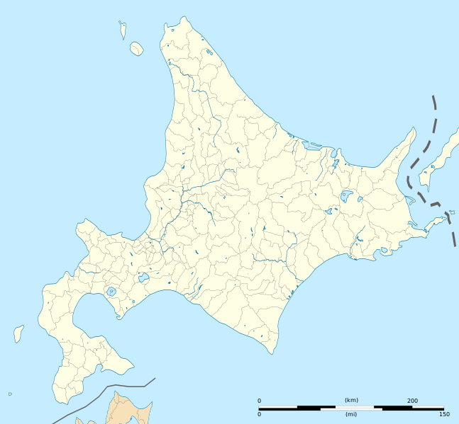
English: Blank map of Hokkaido, for geolocalisation purpose.
Español: Mapa de Hokkaidō.
Italiano: Mappa de it:Hokkaidō.
日本語: 北海道の地図.
Português: Carta de Hokkaido.
|
||
| Date | (UTC) | ||
| Source |
Création personnelle ;
|
||
| Author | © Bourrichon (talk) - fr:Bourrichon | ||
| Permission (Reusing this file) |
|
||
| Other versions |
|


|
This SVG file contains embedded text that can be translated into your language, using any capable SVG editor, text editor or the SVG Translate tool. For more information see: About translating SVG files. |
This W3C-unspecified vector image was created with Inkscape .
Licensing
[edit]
I, the copyright holder of this work, hereby publish it under the following license:
This file is licensed under the Creative Commons Attribution-Share Alike 2.0 France license.
Attribution: Bourrichon (atelier graphique)
- You are free:
- to share – to copy, distribute and transmit the work
- to remix – to adapt the work
- Under the following conditions:
- attribution – You must give appropriate credit, provide a link to the license, and indicate if changes were made. You may do so in any reasonable manner, but not in any way that suggests the licensor endorses you or your use.
- share alike – If you remix, transform, or build upon the material, you must distribute your contributions under the same or compatible license as the original.

File history
Click on a date/time to view the file as it appeared at that time.
| Date/Time | Thumbnail | Dimensions | User | Comment | |
|---|---|---|---|---|---|
| current | 10:15, 3 April 2022 | | 1,720 × 1,593 (1.39 MB) | Peka (talk | contribs) | add some lakes, change a disputed border (continuous line to dashed line) |
| 23:12, 1 July 2013 |  | 1,720 × 1,593 (1.41 MB) | Bourrichon (talk | contribs) | cours d'eau 1,5px | |
| 22:57, 1 July 2013 |  | 1,720 × 1,593 (1.39 MB) | Bourrichon (talk | contribs) | ||
| 22:41, 1 July 2013 |  | 1,720 × 1,593 (674 KB) | Bourrichon (talk | contribs) | == {{int:filedesc}} == {{Location|43|00|00|N|142|00|00|E|scale:5000000}} {{Information |Description= {{fr|Carte vierge de l'île de fr:Hokkaidō, au Japon, destinée à la géolocalisation.}} {{de|Karte der de:Hokkaidō.}} {... |
You cannot overwrite this file.
File usage on Commons
The following 4 pages use this file:
File usage on other wikis
The following other wikis use this file:
- Usage on ar.wikipedia.org
- Usage on ceb.wikipedia.org
- Usage on de.wikipedia.org
- Sapporo Dome
- Ōkurayama-Schanze
- Miyanomori-Schanze
- Kernkraftwerk Tomari
- Flughafen Hakodate
- Flughafen Kushiro
- Flughafen Obihiro
- Makomanai-Hallenstadion
- Vorlage:Positionskarte Japan Präfektur Hokkaidō
- Hokkaidōritsu Sōgō Taiiku Center
- Bahnhof Tokachi-Mitsumata
- Kraftwerk Tomatō-Atsuma
- Makomanai-Stadion
- Tsukisamu-Sporthalle
- Sapporo Atsubetsu Stadium
- Sapporo-Maruyama-Zoo
- Asahiyama Zoo
- Usage on en.wikipedia.org
- Asahikawa Airport
- Okadama Airport
- Hakodate Airport
- Monbetsu Airport
- Engaru, Hokkaido
- Sapporo Station
- Kikonai Station
- Chitose Air Base
- Kushiro Airport
- Wakkanai Airport
- Yoshioka-Kaitei Station
- Hakodate Station
- Goryōkaku Station
- Nanae Station
- Ōnuma Station
- Mori Station (Hokkaido)
- Oshamambe Station
- Rankoshi Station
- Niseko Station
- Kutchan Station
- Otaru Station
- Tomakomai Station
- Oiwake Station (Hokkaido)
- Minami-Chitose Station
- Yunotai Station
- Esashi Station
- Kamiiso Station
- Nanaehama Station
- Shin-Yūbari Station
- Shimukappu Station
View more global usage of this file.