File:Holland-on-Sea, Beach at Sandy Point - geograph.org.uk - 1470929.jpg
Jump to navigation
Jump to search
No higher resolution available.
Holland-on-Sea,_Beach_at_Sandy_Point_-_geograph.org.uk_-_1470929.jpg (640 × 471 pixels, file size: 61 KB, MIME type: image/jpeg)
Captions
Captions
Add a one-line explanation of what this file represents
Summary
[edit]
| Description |
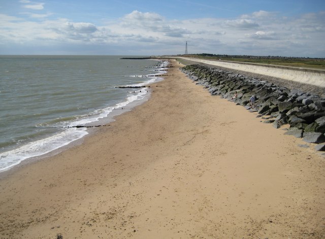
English: Holland-on-Sea: Beach at Sandy Point The boundary between Holland-on-Sea and Frinton-on-Sea lies just beyond the first groyne so this is the very north-eastern extremity of Holland-on-Sea. The tower on the horizon is the communications mast in TM2117. |
| Date | |
| Source | From geograph.org.uk |
| Author | Nigel Cox |
| Attribution (required by the license) | Nigel Cox / Holland-on-Sea: Beach at Sandy Point / |
| Camera location | | View this and other nearby images on: OpenStreetMap |
|---|
_heading:202.00&language=en)
| Object location | | View this and other nearby images on: OpenStreetMap |
|---|
_heading:202.00&language=en)
Licensing
[edit]

|
This image was taken from the Geograph project collection. See this photograph's page on the Geograph website for the photographer's contact details. The copyright on this image is owned by Nigel Cox and is licensed for reuse under the Creative Commons Attribution-ShareAlike 2.0 license.
|
This file is licensed under the Creative Commons Attribution-Share Alike 2.0 Generic license.
Attribution: Nigel Cox
- You are free:
- to share – to copy, distribute and transmit the work
- to remix – to adapt the work
- Under the following conditions:
- attribution – You must give appropriate credit, provide a link to the license, and indicate if changes were made. You may do so in any reasonable manner, but not in any way that suggests the licensor endorses you or your use.
- share alike – If you remix, transform, or build upon the material, you must distribute your contributions under the same or compatible license as the original.
File history
Click on a date/time to view the file as it appeared at that time.
| Date/Time | Thumbnail | Dimensions | User | Comment | |
|---|---|---|---|---|---|
| current | 12:01, 2 March 2011 | | 640 × 471 (61 KB) | GeographBot (talk | contribs) | == {{int:filedesc}} == {{Information |description={{en|1=Holland-on-Sea: Beach at Sandy Point The boundary between Holland-on-Sea and Frinton-on-Sea lies just beyond the first groyne so this is the very north-eastern extremity of Holland-on-Sea. The tower |
You cannot overwrite this file.
File usage on Commons
There are no pages that use this file.
File usage on other wikis
The following other wikis use this file:
- Usage on en.wikipedia.org
- Usage on nl.wikipedia.org
- Usage on ur.wikipedia.org