File:Ireland relief location map.png
Salta a la navegació
Salta a la cerca
Mida d'aquesta previsualització: 481 × 599 píxels. Altres resolucions: 192 × 240 píxels | 385 × 480 píxels | 616 × 768 píxels | 822 × 1.024 píxels | 1.450 × 1.807 píxels.
Fitxer original (1.450 × 1.807 píxels, mida del fitxer: 1,55 Mo, tipus MIME: image/png)
Llegendes
Llegendes
Afegeix una explicació d'una línia del que representa aquest fitxer
| Descripció |
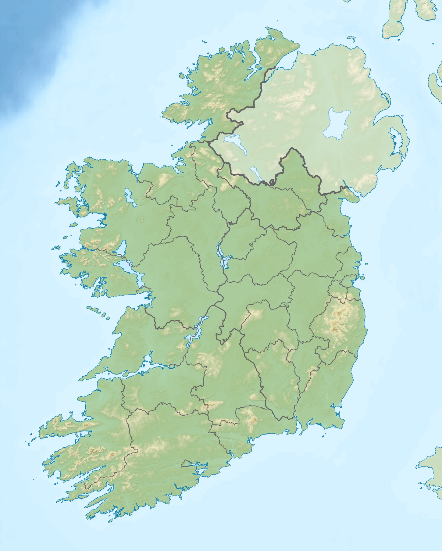
Relief location map of Ireland Equirectangular map projection on WGS 84 datum, with N/S stretched 170% Geographic limits:
|
| Data | |
| Font |
Shuttle Radar Topography Mission
National Geospatial-Intelligence Agency
File:Ireland location map.svg: NordNordWest
|
| Autor | Nilfanion |
| Permís (Com reutilitzar aquest fitxer) |
Aquest fitxer està subjecte a la llicència de Creative Commons Reconeixement i Compartir Igual 3.0 No adaptada.
|
| Altres versions |
.png)

Historial del fitxer
Cliqueu una data/hora per veure el fitxer tal com era aleshores.
| Data/hora | Miniatura | Dimensions | Usuari/a | Comentari | |
|---|---|---|---|---|---|
| actual | 08:32, 24 ago 2020 | | 1.450 × 1.807 (1,55 Mo) | Jacobfrid (discussió | contribucions) | Reverted to version as of 12:29, 12 September 2014 (UTC) |
| 12:17, 23 ago 2020 |  | 324 × 280 (90 Ko) | Jacobfrid (discussió | contribucions) | Cropped 78 % horizontally, 85 % vertically using CropTool with precise mode. | |
| 12:29, 12 set 2014 |  | 1.450 × 1.807 (1,55 Mo) | NordNordWest (discussió | contribucions) | Local Government Reform Act 2014 | |
| 00:02, 23 oct 2012 |  | 1.450 × 1.807 (1,56 Mo) | Nilfanion (discussió | contribucions) | Fix UK shading nr Londonderry | |
| 22:43, 15 abr 2012 |  | 1.450 × 1.807 (1,56 Mo) | Nilfanion (discussió | contribucions) | {{Information |Description=Relief map of Ireland Equirectangular map projection on WGS 84 datum, with N/S stretched 170% Geographic limits: *West: 11.0° W *East: 5.0° W *North: 55.6° N *South: 51.2° N |Source= [[w:Shuttle Radar Topo... |
No podeu sobreescriure aquest fitxer.
Ús del fitxer
Les 2 pàgines següents utilitzen aquest fitxer:
Ús global del fitxer
Utilització d'aquest fitxer en altres wikis:
- Utilització a als.wikipedia.org
- Utilització a am.wikipedia.org
- Utilització a ar.wikipedia.org
- Utilització a ast.wikipedia.org
- Utilització a azb.wikipedia.org
- Utilització a ban.wikipedia.org
- Utilització a ba.wikipedia.org
- Utilització a be-tarask.wikipedia.org
- Utilització a bn.wikipedia.org
- Utilització a br.wikipedia.org
- Utilització a bs.wikipedia.org
- Utilització a bxr.wikipedia.org
- Utilització a ca.wikipedia.org
- Utilització a ceb.wikipedia.org
- Utilització a cs.wikipedia.org
- Utilització a cv.wikipedia.org
Vegeu més usos globals d'aquest fitxer.