File:Ireland relief location map.png
跳至導覽
跳至搜尋
預覽大小:481 × 599 像素。 其他解析度:192 × 240 像素 | 385 × 480 像素 | 616 × 768 像素 | 822 × 1,024 像素 | 1,450 × 1,807 像素。
原始檔案 (1,450 × 1,807 像素,檔案大小:1.55 MB,MIME 類型:image/png)
說明
說明
添加單行說明來描述出檔案所代表的內容
| 描述 |
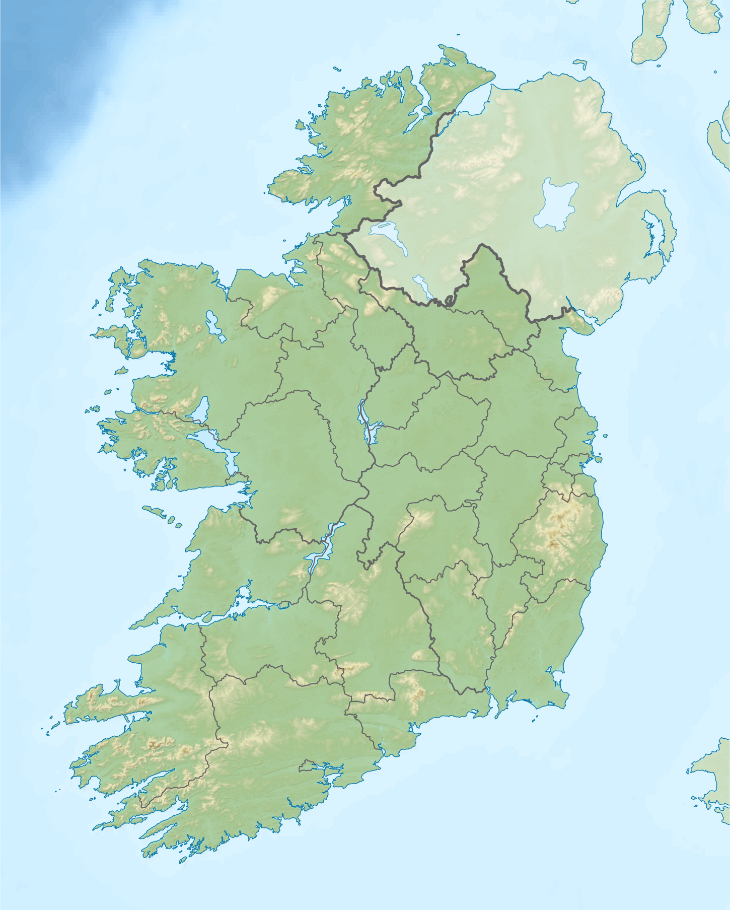
Relief location map of Ireland Equirectangular map projection on WGS 84 datum, with N/S stretched 170% Geographic limits:
|
| 日期 | |
| 來源 |
Shuttle Radar Topography Mission
National Geospatial-Intelligence Agency
File:Ireland location map.svg: NordNordWest
|
| 作者 | Nilfanion |
| 授權許可 (重用此檔案) |
此檔案採用創用CC 姓名標示-相同方式分享 3.0 未在地化版本授權條款。
|
| 其他版本 |
.png)

檔案歷史
點選日期/時間以檢視該時間的檔案版本。
| 日期/時間 | 縮圖 | 尺寸 | 使用者 | 備註 | |
|---|---|---|---|---|---|
| 目前 | 2020年8月24日 (一) 08:32 | | 1,450 × 1,807(1.55 MB) | Jacobfrid(留言 | 貢獻) | Reverted to version as of 12:29, 12 September 2014 (UTC) |
| 2020年8月23日 (日) 12:17 |  | 324 × 280(90 KB) | Jacobfrid(留言 | 貢獻) | Cropped 78 % horizontally, 85 % vertically using CropTool with precise mode. | |
| 2014年9月12日 (五) 12:29 |  | 1,450 × 1,807(1.55 MB) | NordNordWest(留言 | 貢獻) | Local Government Reform Act 2014 | |
| 2012年10月23日 (二) 00:02 |  | 1,450 × 1,807(1.56 MB) | Nilfanion(留言 | 貢獻) | Fix UK shading nr Londonderry | |
| 2012年4月15日 (日) 22:43 |  | 1,450 × 1,807(1.56 MB) | Nilfanion(留言 | 貢獻) | {{Information |Description=Relief map of Ireland Equirectangular map projection on WGS 84 datum, with N/S stretched 170% Geographic limits: *West: 11.0° W *East: 5.0° W *North: 55.6° N *South: 51.2° N |Source= [[w:Shuttle Radar Topo... |
無法覆蓋此檔案。
檔案用途
下列2個頁面有用到此檔案:
全域檔案使用狀況
以下其他 wiki 使用了這個檔案:
- als.wikipedia.org 的使用狀況
- am.wikipedia.org 的使用狀況
- ar.wikipedia.org 的使用狀況
- ast.wikipedia.org 的使用狀況
- azb.wikipedia.org 的使用狀況
- ban.wikipedia.org 的使用狀況
- ba.wikipedia.org 的使用狀況
- be-tarask.wikipedia.org 的使用狀況
- bn.wikipedia.org 的使用狀況
- br.wikipedia.org 的使用狀況
- bs.wikipedia.org 的使用狀況
- bxr.wikipedia.org 的使用狀況
- ca.wikipedia.org 的使用狀況
- ceb.wikipedia.org 的使用狀況
- cs.wikipedia.org 的使用狀況
- cv.wikipedia.org 的使用狀況
檢視此檔案的更多全域使用狀況。