File:Isles of Scilly UK locator map.png
Jump to navigation
Jump to search

Size of this preview: 600 × 600 pixels. Other resolutions: 240 × 240 pixels | 480 × 480 pixels | 768 × 768 pixels | 1,024 × 1,024 pixels | 2,048 × 2,048 pixels | 3,000 × 3,000 pixels.
Original file (3,000 × 3,000 pixels, file size: 78 KB, MIME type: image/png)
Captions
Captions
Add a one-line explanation of what this file represents
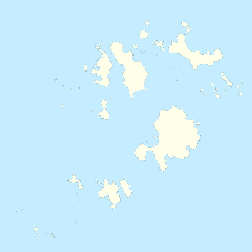
| Description | Blank map of the Isles of Scilly, off the coast of Cornwall, UK. | ||||||
| Date | |||||||
| Source | Ordnance Survey OpenData, Boundary-Line product | ||||||
| Author | Ordnance Survey | ||||||
| Permission (Reusing this file) |
|
_(St_Edwards_Crown).svg)
File history
Click on a date/time to view the file as it appeared at that time.
| Date/Time | Thumbnail | Dimensions | User | Comment | |
|---|---|---|---|---|---|
| current | 21:55, 9 June 2010 | | 3,000 × 3,000 (78 KB) | Nilfanion (talk | contribs) | {{Information |Description=Blank map of the Isles of Scilly, off the coast of Cornwall, UK. |Source=Ordnance Survey [https://www.ordnancesurvey.co.uk/opendatadownload/products.html OpenData], Boundary-Line product |Date=2010 |Author=Ordnance Survey |Permi |
You cannot overwrite this file.
File usage on Commons
There are no pages that use this file.
File usage on other wikis
The following other wikis use this file:
- Usage on en.wikipedia.org