File:Italy Abruzzo location map.svg
Jump to navigation
Jump to search

Size of this PNG preview of this SVG file: 331 × 305 pixels. Other resolutions: 261 × 240 pixels | 521 × 480 pixels | 834 × 768 pixels | 1,111 × 1,024 pixels | 2,223 × 2,048 pixels.
Original file (SVG file, nominally 331 × 305 pixels, file size: 208 KB)
Captions
Captions
Add a one-line explanation of what this file represents
Summary
[edit]
| Description |
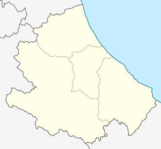
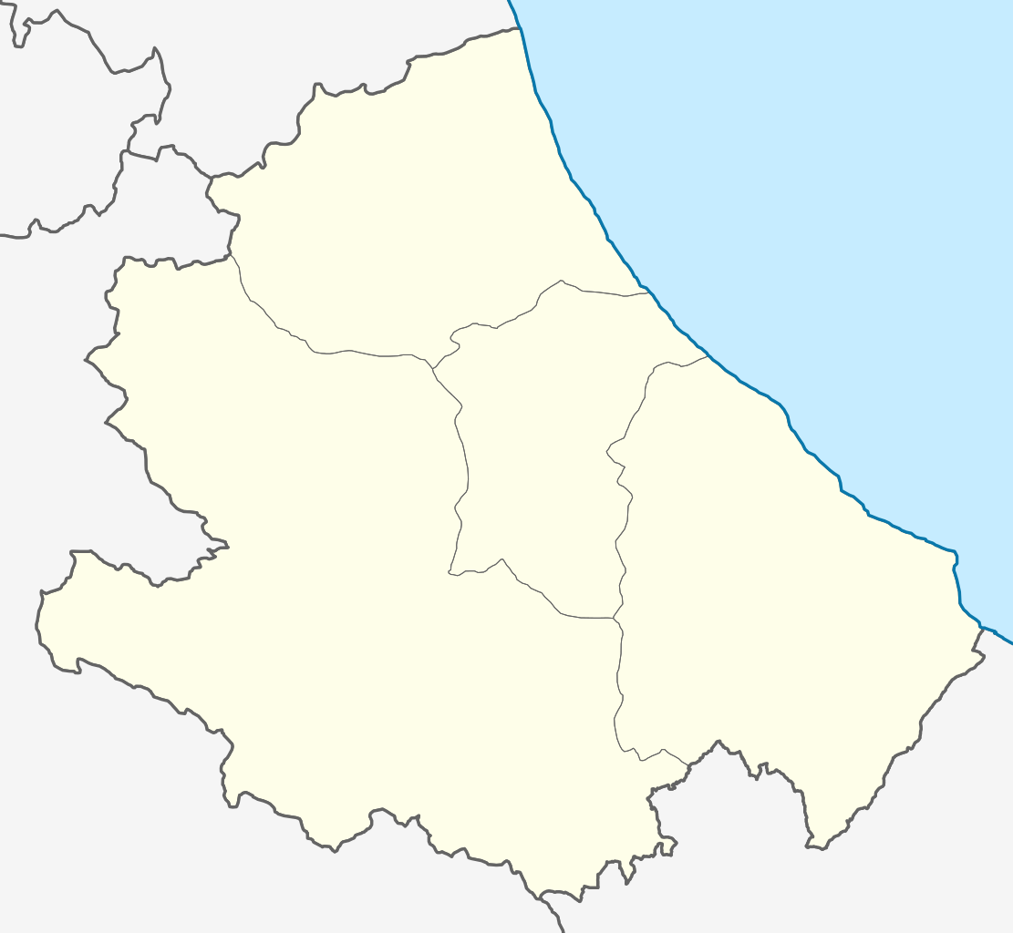
Deutsch: Positionskarte von Abruzzo (Italien) English: Location map of Abruzzo region (Italy) Español: Mapa de localización de la Región de Abruzzo (Italia).
Equirectangular projection, N/S stretching 115 %. Geographic limits of the map:
|
| Date | |
| Source |
This file was derived from: Map of region of Abruzzo, Italy.svg |
| Author |
|
Licensing
[edit]
I, the copyright holder of this work, hereby publish it under the following licenses:

|
Permission is granted to copy, distribute and/or modify this document under the terms of the GNU Free Documentation License, Version 1.2 or any later version published by the Free Software Foundation; with no Invariant Sections, no Front-Cover Texts, and no Back-Cover Texts. A copy of the license is included in the section entitled GNU Free Documentation License. |
This file is licensed under the Creative Commons Attribution-Share Alike 3.0 Unported license.
- You are free:
- to share – to copy, distribute and transmit the work
- to remix – to adapt the work
- Under the following conditions:
- attribution – You must give appropriate credit, provide a link to the license, and indicate if changes were made. You may do so in any reasonable manner, but not in any way that suggests the licensor endorses you or your use.
- share alike – If you remix, transform, or build upon the material, you must distribute your contributions under the same or compatible license as the original.
You may select the license of your choice.
File history
Click on a date/time to view the file as it appeared at that time.
| Date/Time | Thumbnail | Dimensions | User | Comment | |
|---|---|---|---|---|---|
| current | 11:24, 21 May 2013 | | 331 × 305 (208 KB) | Milenioscuro (talk | contribs) | thick lines |
| 23:10, 20 May 2013 |  | 331 × 305 (208 KB) | Milenioscuro (talk | contribs) | to match with other location maps of the category | |
| 04:58, 20 May 2013 |  | 331 × 305 (208 KB) | Milenioscuro (talk | contribs) | User created page with UploadWizard |
You cannot overwrite this file.
File usage on Commons
There are no pages that use this file.
File usage on other wikis
The following other wikis use this file:
- Usage on als.wikipedia.org
- Usage on ar.wikipedia.org
- Usage on azb.wikipedia.org
- ویلا سانتآنجلو
- ویلا سانتا ماریا
- ویلا سانتا لوچیا دلی آبروتزی
- ویلا چلیرا
- ویکولی
- ویتوریتو
- ترامو
- تراساچو
- تالیاکوتزو
- وستو
- تارانتا پولینیا
- پینتو (کومونه)
- کونیولی
- پیچیانو
- پیتسولی
- پیتسوفراتو
- کونتروقرا
- پیترانیکو
- کاسالینکونترادا
- پیتراکاملا
- پیترافرانتسانا
- واله کاستلانا
- کولهلونیو
- کاسالبوردینو
- پیانلا
- کولونلا
- کولکوروینو
- کاسااندیتلا
- کولدیمتزو
- کولدیماچینه
- کولدارا
- کولپیترو
- کولارمله
- کوکولو (کومونه)
- کازالانقودا
- واکری
- کارونکیو
- کوروپولی
- کوروارا
- کارسولی
- پولوتری
- کارپینتو سینلو
- کورفینیو
- کارپینتو دلا نورا
- کورتینو
- کارامانیچو ترمه
- نوچیانو
- نوتارسکو
View more global usage of this file.