File:Itinéraire du Pourquoi-pas.svg
Jump to navigation
Jump to search

Size of this PNG preview of this SVG file: 477 × 503 pixels. Other resolutions: 228 × 240 pixels | 455 × 480 pixels | 728 × 768 pixels | 971 × 1,024 pixels | 1,942 × 2,048 pixels.
Original file (SVG file, nominally 477 × 503 pixels, file size: 444 KB)
Captions
Captions
Add a one-line explanation of what this file represents
| Description |
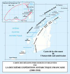
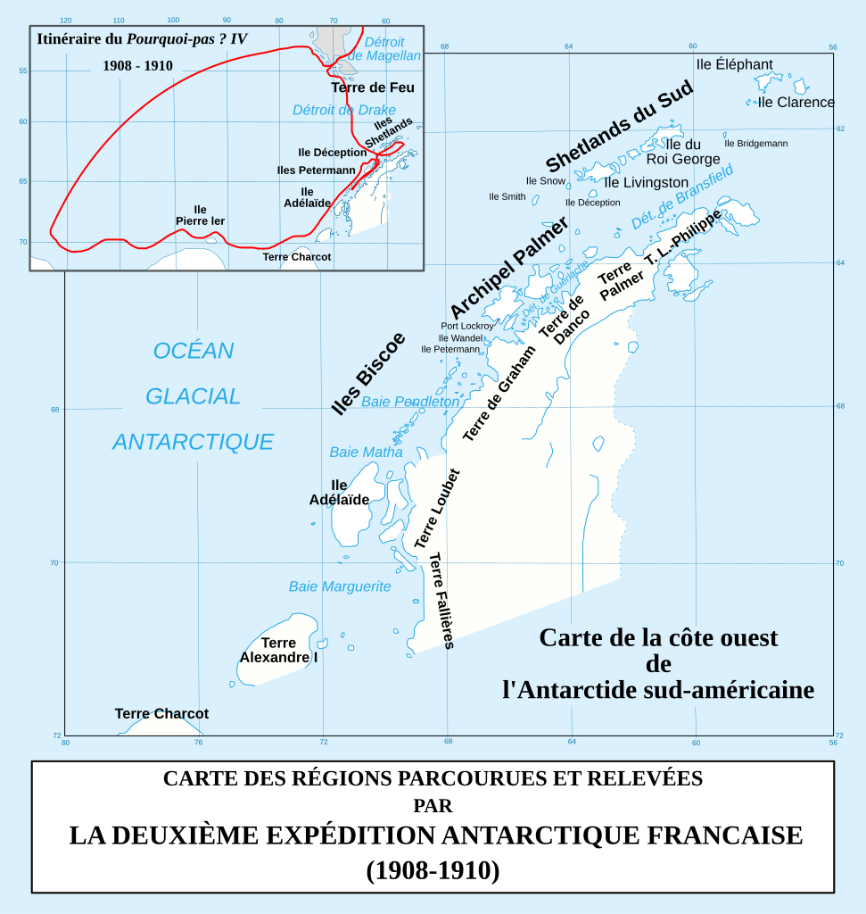
日本語: 南極半島に Pourquoi-pas ? IV船 の航路の地図 |
||
| Date | |||
| Source | travail personnel : d'après les informations de la carte du Lieutenant Bongrain, à bord du Pourquoi-pas. Cette carte se trouve dans le rapport Deuxième expédition antarctique francaise (1908-1910) : Sciences physiques : documents scientifiques paru en 1914 "sous les auspices du Ministère de l'Instruction publique". L'auteur officiel de l'ouvrage est Jean Charcot mort en 1936. (Voir un exemplaire de cette carte (au début de l'ouvrage) : [1]) | ||
| Author | Bourrichon | ||
| Permission (Reusing this file) |
I, the copyright holder of this work, hereby publish it under the following licenses:
This file is licensed under the Creative Commons Attribution-Share Alike 3.0 Unported, 2.5 Generic, 2.0 Generic and 1.0 Generic license.
You may select the license of your choice. |


|
This SVG file contains embedded text that can be translated into your language, using any capable SVG editor, text editor or the SVG Translate tool. For more information see: About translating SVG files. |
This W3C-unspecified vector image was created with Inkscape .
File history
Click on a date/time to view the file as it appeared at that time.
| Date/Time | Thumbnail | Dimensions | User | Comment | |
|---|---|---|---|---|---|
| current | 18:36, 8 April 2008 | | 477 × 503 (444 KB) | Bourrichon (talk | contribs) | {{Information |Description= {{fr|Carte de la Péninsule Antarctique avec l'itinéraire du ''Pourquoi-pas IV'' (1908-1910).}} {{en|Map of en:Antarctic Peninsula with the route of the ship [[:en:Po |
You cannot overwrite this file.
File usage on Commons
The following page uses this file:
File usage on other wikis
The following other wikis use this file:
- Usage on ar.wikipedia.org
- Usage on bg.wikipedia.org
- Usage on ca.wikipedia.org
- Usage on da.wikipedia.org
- Usage on de.wikipedia.org
- Usage on en.wikipedia.org
- Usage on es.wikipedia.org
- Usage on fr.wikipedia.org
- Usage on fy.wikipedia.org
- Usage on it.wikipedia.org
- Usage on ja.wikipedia.org
- Usage on nn.wikipedia.org
- Usage on no.wikipedia.org
- Usage on pl.wikipedia.org
- Usage on ru.wikipedia.org
- Usage on sv.wikipedia.org
- Usage on uk.wikipedia.org
- Usage on zh.wikipedia.org