File:Jakob Kindinger Strasse 01.jpg

Original file (1,600 × 1,200 pixels, file size: 807 KB, MIME type: image/jpeg)
Captions
Captions
Summary
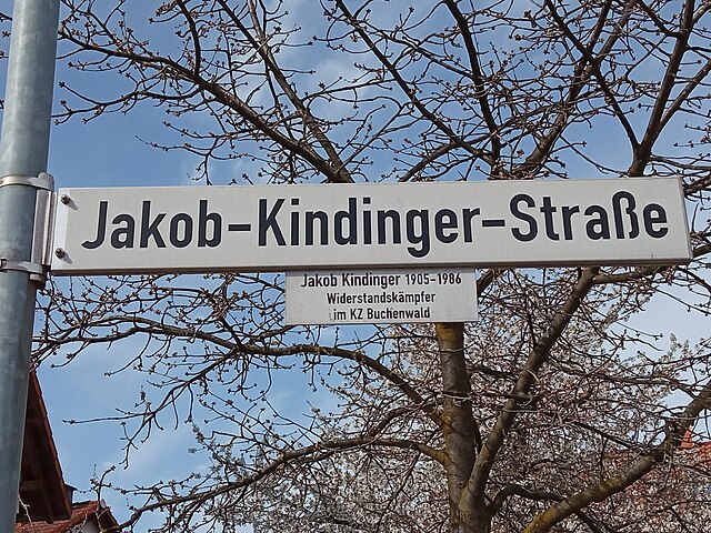
[edit]| Description | Straßenschild "Jakob-Kindinger-Straße" in Bensheim in der Jakob-Kindinger-Straße. |
| Date | |
| Source | Own work |
| Author | Kuebi = Armin Kübelbeck |
|

|
The photographical reproduction of this work is covered under the article § 59 of the German copyright law, which states that "It shall be permissible to reproduce, by painting, drawing, photography or cinematography, works which are permanently located on public ways, streets or places and to distribute and publicly communicate such copies. For works of architecture, this provision shall be applicable only to the external appearance."
As with all other “limits of copyright by legally permitted uses”, no changes to the actual work are permitted under § 62 of the German copyright law (UrhG). See Commons:Copyright rules by territory/Germany#Freedom of panorama for more information.
|
| Camera location | | View this and other nearby images on: OpenStreetMap |
|---|

|
Permission is granted to copy, distribute and/or modify this document under the terms of the GNU Free Documentation License, Version 1.2 or any later version published by the Free Software Foundation; with no Invariant Sections, no Front-Cover Texts, and no Back-Cover Texts. A copy of the license is included in the section entitled GNU Free Documentation License. |
| This file is licensed under the Creative Commons Attribution-Share Alike 3.0 Unported license. | ||
| ||
| This licensing tag was added to this file as part of the GFDL licensing update. |
File history
Click on a date/time to view the file as it appeared at that time.
| Date/Time | Thumbnail | Dimensions | User | Comment | |
|---|---|---|---|---|---|
| current | 09:47, 30 April 2023 | | 1,600 × 1,200 (807 KB) | Kuebi (talk | contribs) | {{Information |Description=Straßenschild "Jakob-Kindinger-Straße" in Bensheim in der Jakob-Kindinger-Straße. |Source={{own}} |Date=2023-03-28 |Author=Kuebi = Armin Kübelbeck |Permission= |other_versions= }} {{User:Kuebi/MyTag}} {{Panoramafreiheit}} {{location dec|49.6859524|08.6114817|region:DE_heading:SSE}} {{Self|GFDL|Cc-by-sa-3.0-migrated}} Category:Jakob Kindinger |
You cannot overwrite this file.
File usage on Commons
The following page uses this file:
File usage on other wikis
The following other wikis use this file:
- Usage on de.wikipedia.org