File:James Rennell 1799.jpg
Jump to navigation
Jump to search

Size of this preview: 421 × 599 pixels. Other resolutions: 168 × 240 pixels | 337 × 480 pixels | 936 × 1,332 pixels.
Original file (936 × 1,332 pixels, file size: 995 KB, MIME type: image/jpeg)
Captions
Captions
Add a one-line explanation of what this file represents
Summary[edit]
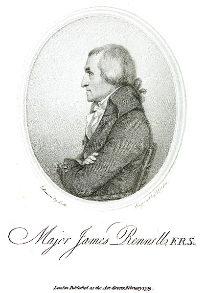
| Description |
English: Engraving of James Rennell c. 1799. |
| Date | |
| Source | The geographical system of Herodotus examined and explained, by a comparison with those of other ancient authors, and with modern geography |
| Author | Drawn by Scott, engraving by A. Cardon. |
| Other versions |
.jpg)
Licensing[edit]
|
This work is in the public domain in its country of origin and other countries and areas where the copyright term is the author's life plus 70 years or fewer. This work is in the public domain in the United States because it was published (or registered with the U.S. Copyright Office) before January 1, 1929. | |
| This file has been identified as being free of known restrictions under copyright law, including all related and neighboring rights. | |
File history
Click on a date/time to view the file as it appeared at that time.
| Date/Time | Thumbnail | Dimensions | User | Comment | |
|---|---|---|---|---|---|
| current | 15:02, 7 September 2017 | | 936 × 1,332 (995 KB) | Shyamal (talk | contribs) | User created page with UploadWizard |
You cannot overwrite this file.
File usage on Commons
The following 20 pages use this file:
- File:A Bengal Atlas- Containing Maps of the Theatre of War and Commerce on that side of Hindoostan.djvu
- File:A map shewing the progress of, discovery & improvement, in the geography of North Africa LOC 2009583841.jpg
- File:A map shewing the progress of, discovery & improvement, in the geography of North Africa LOC 2009583841.tif
- File:An actual survey, of the provinces of Bengal, Bahar &c. (1794) By Major James Rennell.jpg
- File:Britannia detail, Hindoostan (20118721954) (cropped).jpg
- File:Cropped image of An actual survey, of the provinces of Bengal, Bahar &c. (1794) By Major James Rennell.jpg
- File:James Rennell 1799 (cropped).jpg
- File:James Rennell journal pages.jpg
- File:James Rennell medallion.jpg
- File:James Rennell signature.jpg
- File:Jungleterry District Map.jpg
- File:Map of Hindoostan, 1788, by Rennell.jpg
- File:Map of Katsina (1798) by James Rennell.jpg
- File:Memoir Of a Map Of Hindoostan Or The Moguls Empire.pdf
- File:Rennell - Description historique et géographique de l’Indostan, tome 1, 1800.djvu
- File:Rennell - Description historique et géographique de l’Indostan, tome 2, 1800.djvu
- File:Rennell - Description historique et géographique de l’Indostan, tome 3, 1800.djvu
- File:View of Fortress of Gwalior.jpg
- Category:James Rennell
- Creator:James Rennell
_By_Major_James_Rennell.jpg)
_(cropped).jpg)
_By_Major_James_Rennell.jpg)
_by_James_Rennell.jpg)
File usage on other wikis
The following other wikis use this file:
- Usage on ar.wikipedia.org
- Usage on arz.wikipedia.org
- Usage on en.wikipedia.org
- Usage on en.wikisource.org
- Usage on eu.wikipedia.org
- Usage on fa.wikipedia.org
- Usage on fr.wikipedia.org
- Usage on fr.wikisource.org
- Usage on it.wikisource.org
- Usage on nl.wikipedia.org
- Usage on ru.wikipedia.org
- Usage on sl.wikipedia.org
- Usage on sv.wikipedia.org
- Usage on www.wikidata.org