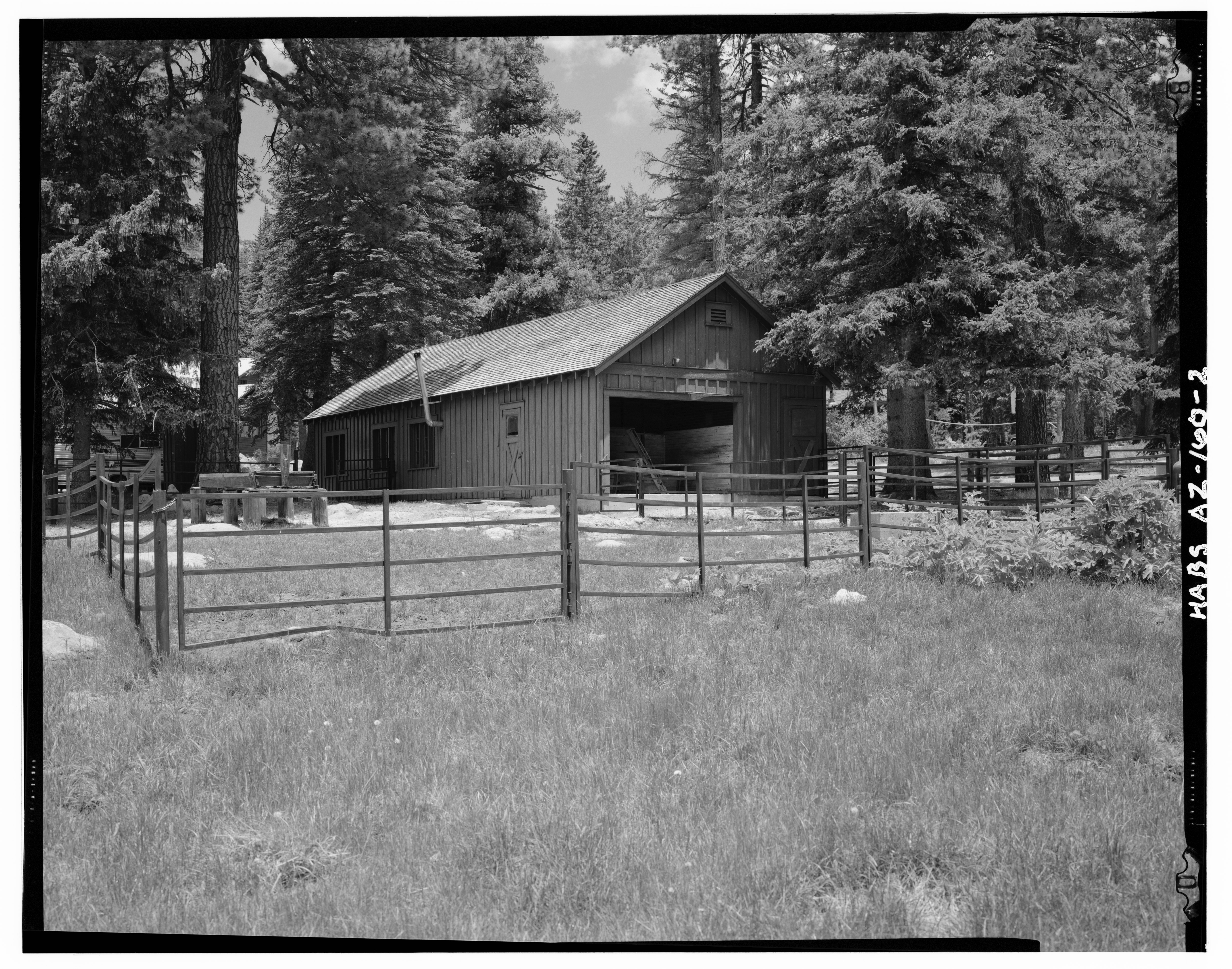
File:June, 1991 OVERVIEW OF BARN, LOOKING NORTHEAST; RESIDENCE VISIBLE AT LEFT, BACKGROUND - Columbine Ranger Station, Milepost 143, State Highway 336, Safford, Graham County, AZ HABS ARIZ,5-SAF.V,1-2.tif
Jump to navigation
Jump to search

Size of this JPG preview of this TIF file: 762 × 599 pixels. Other resolutions: 305 × 240 pixels | 611 × 480 pixels | 977 × 768 pixels | 1,280 × 1,007 pixels | 2,560 × 2,013 pixels | 5,000 × 3,932 pixels.
Original file (5,000 × 3,932 pixels, file size: 18.75 MB, MIME type: image/tiff)
Captions
Captions
Add a one-line explanation of what this file represents
Summary
[edit]| June, 1991 OVERVIEW OF BARN, LOOKING NORTHEAST; RESIDENCE VISIBLE AT LEFT, BACKGROUND - Columbine Ranger Station, Milepost 143, State Highway 336, Safford, Graham County, AZ | ||||
|---|---|---|---|---|
| Title |
June, 1991 OVERVIEW OF BARN, LOOKING NORTHEAST; RESIDENCE VISIBLE AT LEFT, BACKGROUND - Columbine Ranger Station, Milepost 143, State Highway 336, Safford, Graham County, AZ |
|||
| Depicted place | Arizona; Graham County; Safford | |||
| Dimensions | 4 x 5 in. | |||
| Current location |
Library of Congress Prints and Photographs Division Washington, D.C. 20540 USA http://hdl.loc.gov/loc.pnp/pp.print |
|||
| Accession number |
HABS ARIZ,5-SAF.V,1-2 |
|||
| Credit line |
|
|||
| Source | https://www.loc.gov/pictures/item/az0291.photos.036432p | |||
| Permission (Reusing this file) |
|
|||

| Camera location | | View this and other nearby images on: OpenStreetMap |
|---|
File history
Click on a date/time to view the file as it appeared at that time.
| Date/Time | Thumbnail | Dimensions | User | Comment | |
|---|---|---|---|---|---|
| current | 08:47, 29 June 2014 |  | 5,000 × 3,932 (18.75 MB) | Fæ (talk | contribs) | GWToolset: Creating mediafile for Fæ. HABS batch upload 26 June 2014 (151:200) |
You cannot overwrite this file.
File usage on Commons
The following page uses this file: