File:Kaart De Lier1712.jpg
Jump to navigation
Jump to search
Size of this preview: 800 × 564 pixels. Other resolutions: 320 × 225 pixels | 640 × 451 pixels | 1,025 × 722 pixels.
Original file (1,025 × 722 pixels, file size: 189 KB, MIME type: image/jpeg)
Captions
Captions
Add a one-line explanation of what this file represents
Summary
[edit]
| Description |
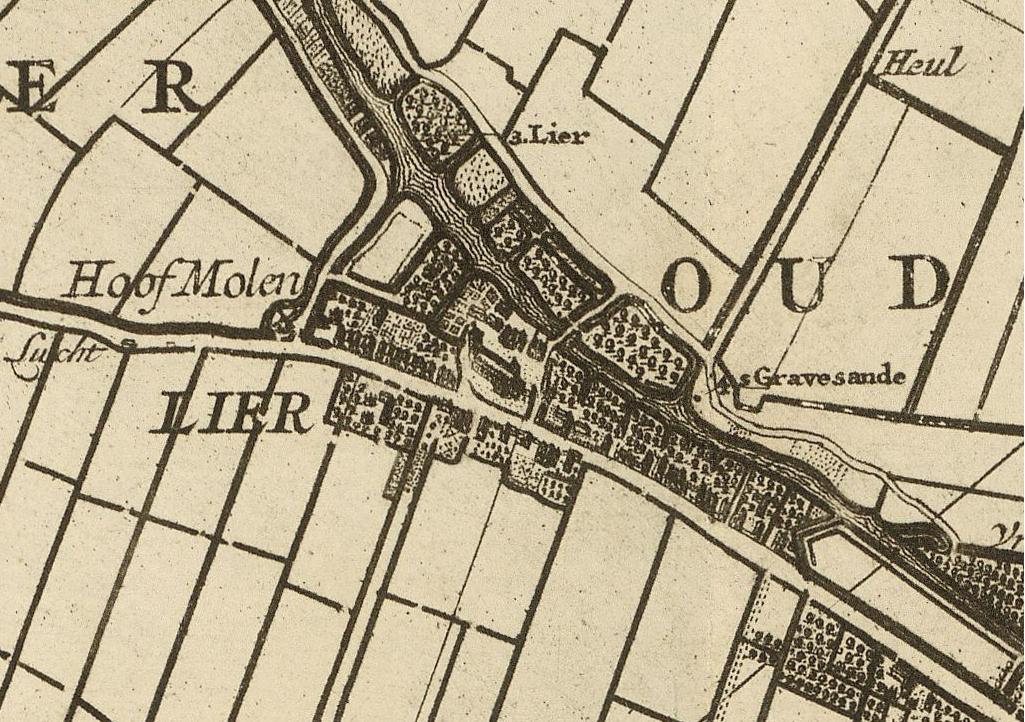
Nederlands: Kaart van het hoogheemraadschap van Delfland, gemeten door de landmeters Nicolaas en Joacobus Kruchius. Afgebeeld is De Lier, Zuid-Holland. |
| Date | |
| Source | http://beeldbank.nationaalarchief.nl/nl/afbeeldingen/indeling/detail/sortering/relevantie/start/13/q/zoekveld/landmeters%20Nicolaas%20en%20Joacobus%20Kruchius |
| Author | Nicolaas en Joacobus Kruchius |
Licensing
[edit]
|
This work is in the public domain in its country of origin and other countries and areas where the copyright term is the author's life plus 100 years or fewer. | |
| This file has been identified as being free of known restrictions under copyright law, including all related and neighboring rights. | |
File history
Click on a date/time to view the file as it appeared at that time.
| Date/Time | Thumbnail | Dimensions | User | Comment | |
|---|---|---|---|---|---|
| current | 19:31, 18 April 2009 | | 1,025 × 722 (189 KB) | Druifkes (talk | contribs) | {{Information |Description={{nl|1=Kaart van het hoogheemraadschap van Delfland, gemeten door de landmeters Nicolaas en Joacobus Kruchius. Afgebeeld is De Lier, Zuid-Holland. }} |Source=http://beeldbank.nationaalarchief.nl/nl/afbeeldingen/indeling/detail/s |
You cannot overwrite this file.
File usage on Commons
There are no pages that use this file.
File usage on other wikis
The following other wikis use this file:
- Usage on fy.wikipedia.org
- Usage on nl.wikipedia.org