File:Karakoram location map.png

Original file (2,701 × 1,812 pixels, file size: 8.57 MB, MIME type: image/png)
Captions
Captions
Summary[edit]
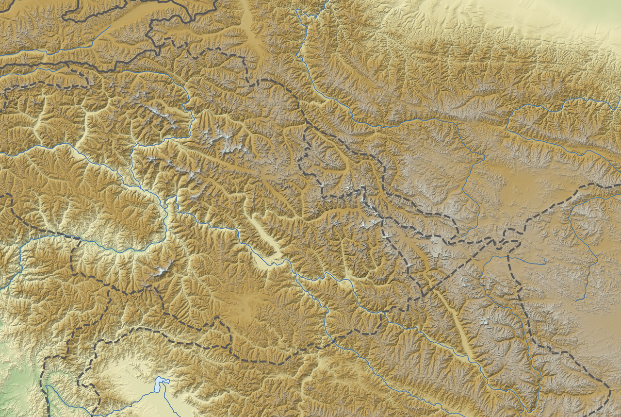
| Description |
Deutsch: Positionskarte des Karakorum
Quadratische Plattkarte, N-S-Streckung 124 %. Geographische Begrenzung der Karte:
English: Location map of the Karakoram
Equirectangular projection, N/S stretching 124 %. Geographic limits of the map:
|
|
| Date | ||
| Source |
Own work, using
|
|
| Author | NordNordWest | |
| Permission (Reusing this file) |
This file is licensed under the Creative Commons Attribution-Share Alike 3.0 Germany license.
 |
|
| Other versions | Derivative works of this file: Karakoram location map plus.png |


|
This map has been made or improved in the German Kartenwerkstatt (Map Lab). You can propose maps to improve as well.
|
Licensing[edit]
- You are free:
- to share – to copy, distribute and transmit the work
- to remix – to adapt the work
- Under the following conditions:
- attribution – You must give appropriate credit, provide a link to the license, and indicate if changes were made. You may do so in any reasonable manner, but not in any way that suggests the licensor endorses you or your use.
- share alike – If you remix, transform, or build upon the material, you must distribute your contributions under the same or compatible license as the original.
File history
Click on a date/time to view the file as it appeared at that time.
| Date/Time | Thumbnail | Dimensions | User | Comment | |
|---|---|---|---|---|---|
| current | 18:02, 26 November 2012 | | 2,701 × 1,812 (8.57 MB) | NordNordWest (talk | contribs) | == {{int:filedesc}} == {{Information |Description= {{de|Positionskarte des Karakorum}} Quadratische Plattkarte, N-S-Streckung 124 %. Geographische Begrenzung der Karte: * N: 37.4° N * S: 34.1° N * W: 73.0° O * O: 79.1° O {{en... |
You cannot overwrite this file.
File usage on Commons
The following 2 pages use this file:
File usage on other wikis
The following other wikis use this file:
- Usage on ar.wikipedia.org
- Usage on ba.wikipedia.org
- Usage on bn.wikipedia.org
- Usage on ceb.wikipedia.org
- Usage on de.wikipedia.org
- Broad Peak
- Gasherbrum II
- Gasherbrum IV
- Ogre (Berg)
- Muztagh Tower
- Masherbrum
- Distaghil Sar
- Rakaposhi
- Kanjut Sar I
- Gasherbrum III
- Diskussion:Karakorum (Gebirge)
- Chogolisa
- Uli Biaho Tower
- Laila Peak (Masherbrum-Berge)
- Kunyang Chhish
- Baltoro Kangri
- Batura Sar
- Bublimotin
- Skil Brum
- Gasherbrum Ost
- Spantik
- Saltoro Kangri
- Baltoro-Gletscher
- Mitre Peak (Karakorum)
- Gasherbrum V
- Gasherbrum VI
- Gasherbrum VII
- Twins (Berg)
- Broad Peak Central
- Sia Kangri
- Haramosh
- Diran
- Urdok I
- Urdok II
- Urdok III
- Latok I
- Latok II
- Latok III
- Latok IV
- Biale
- Wikipedia:Kartenwerkstatt/Positionskarten/Andere
- Trango Tower
- Shispare
View more global usage of this file.