File:KarteVillen.jpg
Jump to navigation
Jump to search
Size of this preview: 730 × 600 pixels. Other resolutions: 292 × 240 pixels | 584 × 480 pixels | 937 × 770 pixels.
Original file (937 × 770 pixels, file size: 512 KB, MIME type: image/jpeg)
Captions
Captions
Add a one-line explanation of what this file represents
Summary[edit]
| Description |
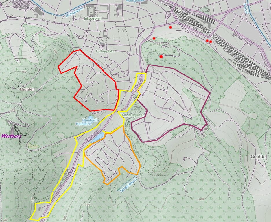
Deutsch: Villengebiete im Süden der Stadt Eisenach. Rote Punkte - weitere Villen außerhalb der Südstadt. |
|||
| Date | ||||
| Source |
Own work
|
|||
| Author | Metilsteiner |
Licensing[edit]
I, the copyright holder of this work, hereby publish it under the following license:
This file is licensed under the Creative Commons Attribution 3.0 Unported license.
- You are free:
- to share – to copy, distribute and transmit the work
- to remix – to adapt the work
- Under the following conditions:
- attribution – You must give appropriate credit, provide a link to the license, and indicate if changes were made. You may do so in any reasonable manner, but not in any way that suggests the licensor endorses you or your use.
File history
Click on a date/time to view the file as it appeared at that time.
| Date/Time | Thumbnail | Dimensions | User | Comment | |
|---|---|---|---|---|---|
| current | 20:24, 13 December 2012 | | 937 × 770 (512 KB) | Metilsteiner (talk | contribs) | {{Information |Description ={{de|1=Villengebiete im Süden der Stadt Eisenach.}} |Source ={{own}} |Author =Metilsteiner |Date =2012-1213 |Permission = |other_versions = }} [[Category:Maps of Eisen... |
You cannot overwrite this file.
File usage on Commons
The following page uses this file:
File usage on other wikis
The following other wikis use this file: