File:Karte des Deutschen Reiches von 1893 (659) Konstanz.jpg
Jump to navigation
Jump to search

Size of this preview: 787 × 600 pixels. Other resolutions: 315 × 240 pixels | 630 × 480 pixels | 1,008 × 768 pixels | 1,280 × 975 pixels | 2,560 × 1,950 pixels | 12,322 × 9,388 pixels.
Original file (12,322 × 9,388 pixels, file size: 32.41 MB, MIME type: image/jpeg)
Captions
Captions
Add a one-line explanation of what this file represents
Summary
[edit]| Warning | The original file is very high-resolution. It might not load properly or could cause your browser to freeze when opened at full size. |
|---|
| Title |
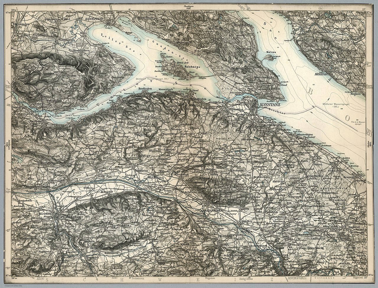
Konstanz |
||||
| Description |
Deutsch: Karte des Deutschen Reiches von 1893, Konstanz |
||||
| Map legend | |||||
| Sheet index | Karte des Deutschen Reiches Übersichtsblatt (index map), Blattschnitt (table) | ||||
| Source | https://www.davidrumsey.com/luna/servlet/detail/RUMSEY~8~1~216834~5503019:Composite--659--Konstanz-?sort=Pub_List_No_InitialSort%2CPub_Date%2CPub_List_No%2CSeries_No&qvq=q:karte%20des%20deutschen%20reiches;sort:Pub_List_No_InitialSort%2CPub_Date%2CPub_List_No%2CSeries_No;lc:RUMSEY~8~1&mi=1336&trs=1367 | ||||
| Creator |
Reichsamt fur Landesaufnahme |
||||
| Geotemporal data | |||||
| Map location | Thurgau (Schweiz), Konstanz, Untersee (Bodensee) | ||||
| Scale | 1:100,000 | ||||
| Bounding box |
|
||||
| Georeferencing | If inappropriate please set warp_status = skip to hide. | ||||
| Bibliographic data | |||||
| Map sheet | 659 | ||||
| Other versions |
|
||||

_Konstanz_,_Ausschnitt_Reichenau.jpg)
.jpg)
.jpg)
_Konstanz.jpg&action=edit§ion=1)
_Konstanz.jpg&flash=no)
.jpg)
_Konstanz.jpg¶ms=47.6162_N_9.05346_E_)
| Object location | | View this and other nearby images on: OpenStreetMap |
|---|
_Konstanz.jpg¶ms=047.616200_N_0009.053460_E_globe:Earth_class:object_type:object__&language=en)
Licensing
[edit]_Konstanz.jpg&action=edit§ion=2)
|
This work is in the public domain in its country of origin and other countries and areas where the copyright term is the author's life plus 100 years or fewer. | |
| This file has been identified as being free of known restrictions under copyright law, including all related and neighboring rights. | |
Original upload log
[edit]_Konstanz.jpg&action=edit§ion=3)
Transferred from de.wikipedia to Commons by Wdwdbot using script bot_filetrans.pl (r110M).
The original description page was here. All following user names refer to de.wikipedia.
- 2018-12-24 21:00:03 Nightflyer (33979720 Bytes) {{LargeImage}} {{Information |Beschreibung = Karte des Deutschen Reiches von 1893, Konstanz |Quelle = https://www.davidrumsey.com/luna/servlet/detail/RUMSEY~8~1~216834~5503019:Composite--659--Konstanz-?sort=Pub_List_No_InitialSort%2CPub_Date%2CPub_List_No%2CSeries_No&qvq=q:karte%20des%20deutschen%20reiches;sort:Pub_List_No_InitialSort%2CPub_Date%2CPub_List_No%2CSeries_No;lc:RUMSEY~8~1&mi=1336&trs=1367 |Urheber = Reichsamt fur Landesaufnahme |Datum = |Genehmigung = |An…
File history
Click on a date/time to view the file as it appeared at that time.
| Date/Time | Thumbnail | Dimensions | User | Comment | |
|---|---|---|---|---|---|
| current | 22:34, 28 December 2018 | | 12,322 × 9,388 (32.41 MB) | Wdwdbot (talk | contribs) | Bot Move: Original uploader of this revision (#1) was Nightflyer at de.wikipedia |
You cannot overwrite this file.
File usage on Commons
The following 4 pages use this file:
File usage on other wikis
The following other wikis use this file:
- Usage on de.wikipedia.org
_Konstanz.jpg&oldid=810829358)