File:Killala Bay from Ordnance Survey Ireland Half-Inch Sheet 6 North Mayo, Published 1956.jpg
Jump to navigation
Jump to search

Size of this preview: 598 × 599 pixels. Other resolutions: 240 × 240 pixels | 479 × 480 pixels | 767 × 768 pixels | 1,022 × 1,024 pixels | 2,142 × 2,146 pixels.
Original file (2,142 × 2,146 pixels, file size: 512 KB, MIME type: image/jpeg)
Captions
Captions
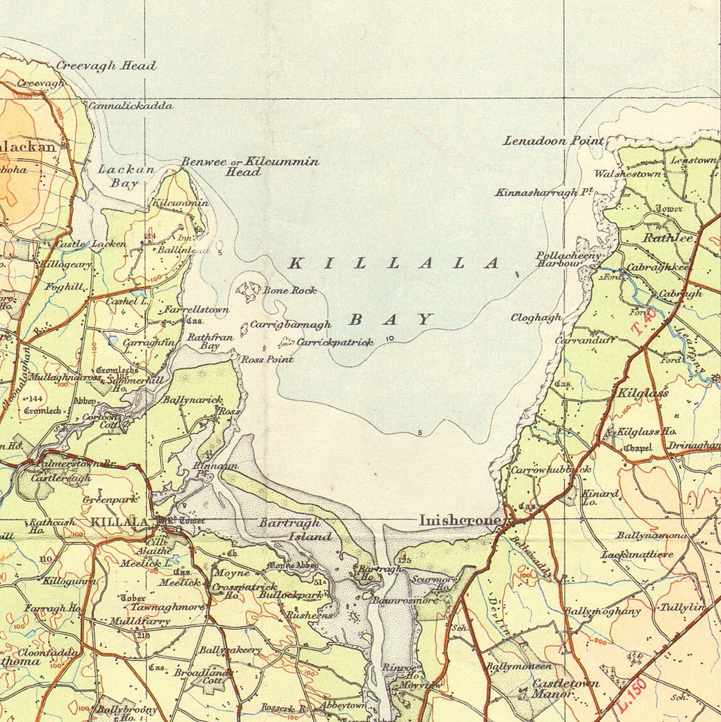
Killala Bay map
Summary
[edit]| Description |
English: OS map of North Mayo, at a scale of 1:126,730 or one half inch to one mile |
| Date | |
| Source | Scan of original OS map |
| Author | Director at the Ordnance Survey Office, Dublin |
| Other versions |

Licensing
[edit]
This Irish Government or Oireachtas work is in the public domain. According to Chapter 19, §191-193 of the Copyright and Related Rights Act, 2000, copyright has expired in Ireland because it is either:
|
 |
File history
Click on a date/time to view the file as it appeared at that time.
| Date/Time | Thumbnail | Dimensions | User | Comment | |
|---|---|---|---|---|---|
| current | 19:10, 26 May 2020 | | 2,142 × 2,146 (512 KB) | Djm-leighpark (talk | contribs) | File:Ordnance Survey Ireland Half-Inch Sheet 6 North Mayo, Published 1956.jpg cropped 82 % horizontally, 76 % vertically using CropTool with lossless mode. |
You cannot overwrite this file.
File usage on Commons
The following page uses this file:
File usage on other wikis
The following other wikis use this file:
- Usage on en.wikipedia.org
- Usage on nn.wikipedia.org