File:Knockmealdown wall - geograph.org.uk - 235682.jpg
Jump to navigation
Jump to search
No higher resolution available.
Knockmealdown_wall_-_geograph.org.uk_-_235682.jpg (640 × 480 pixels, file size: 95 KB, MIME type: image/jpeg)
Captions
Captions
Add a one-line explanation of what this file represents
Summary
[edit]
| Description |
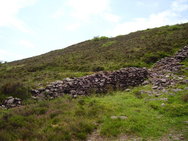
English: Knockmealdown wall. Tipperary - Waterford boundary wall running west from The Gap. I followed the wall some way up the steep slopes of Knocknalougha until I got into the square (typical corner visiting)
Amongst the heather, stray rhododendrons are getting established. It is quite possible that soon there will be no access to the hill from this side. Never descend unseen north from Knocknalougha, the northern slopes are largely impenetrable. |
| Date | |
| Source | From geograph.org.uk |
| Author | Richard Webb |
| Attribution (required by the license) | Richard Webb / Knockmealdown wall / |
| Object location | | View this and other nearby images on: OpenStreetMap |
|---|
_heading:225.00&language=en)
Licensing
[edit]

|
This image was taken from the Geograph project collection. See this photograph's page on the Geograph website for the photographer's contact details. The copyright on this image is owned by Richard Webb and is licensed for reuse under the Creative Commons Attribution-ShareAlike 2.0 license.
|
This file is licensed under the Creative Commons Attribution-Share Alike 2.0 Generic license.
Attribution: Richard Webb
- You are free:
- to share – to copy, distribute and transmit the work
- to remix – to adapt the work
- Under the following conditions:
- attribution – You must give appropriate credit, provide a link to the license, and indicate if changes were made. You may do so in any reasonable manner, but not in any way that suggests the licensor endorses you or your use.
- share alike – If you remix, transform, or build upon the material, you must distribute your contributions under the same or compatible license as the original.
File history
Click on a date/time to view the file as it appeared at that time.
| Date/Time | Thumbnail | Dimensions | User | Comment | |
|---|---|---|---|---|---|
| current | 00:53, 1 February 2010 | | 640 × 480 (95 KB) | GeographBot (talk | contribs) | == {{int:filedesc}} == {{Information |description={{en|1=Knockmealdown wall. Tipperary - Waterford boundary wall running west from The Gap. I followed the wall some way up the steep slopes of Knocknalougha until I got into the square (typical corner visit |
You cannot overwrite this file.
File usage on Commons
There are no pages that use this file.