File:L02 096 Grün, Gürther Straße.jpg
Jump to navigation
Jump to search

Size of this preview: 800 × 533 pixels. Other resolutions: 320 × 213 pixels | 640 × 427 pixels | 1,024 × 683 pixels | 1,280 × 853 pixels | 2,560 × 1,707 pixels | 6,544 × 4,363 pixels.
Original file (6,544 × 4,363 pixels, file size: 10.85 MB, MIME type: image/jpeg)
Captions
Captions
Add a one-line explanation of what this file represents
Summary
[edit]
| Description |
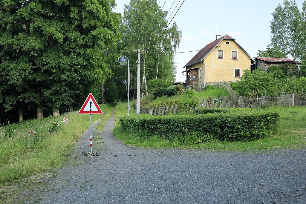
Deutsch: Richtung Südsüdost im Tal des Doubravský potok oder Gürther Baches, offizielle Straßennamen gibt es in Grün/Doubrava nicht, möglicherweise nicht mehr. Der Weg war die Verbindung zwischen Grün und dem sächsischen Nachbardorf Gürth, die Entfernung beträgt knapp zwei Kilometer. Wie alle die Grenze querenden Wege war dieser zwischen 1945 und der Annäherung in den Neunzigern unterbrochen und nicht nutzbar. Immerhin ist die Verbindung als Pfad erhalten geblieben und seit der Aufnahme der Tschechischen Republik in den Schengen-Raum im Dezember 2007 auch legal wieder benutzbar. |
| Date | |
| Source | Own work |
| Author | Falk2 |
Licensing
[edit]
This file is licensed under the Creative Commons Attribution-Share Alike 4.0 International license.
- You are free:
- to share – to copy, distribute and transmit the work
- to remix – to adapt the work
- Under the following conditions:
- attribution – You must give appropriate credit, provide a link to the license, and indicate if changes were made. You may do so in any reasonable manner, but not in any way that suggests the licensor endorses you or your use.
- share alike – If you remix, transform, or build upon the material, you must distribute your contributions under the same or compatible license as the original.
File history
Click on a date/time to view the file as it appeared at that time.
| Date/Time | Thumbnail | Dimensions | User | Comment | |
|---|---|---|---|---|---|
| current | 16:53, 6 July 2023 | | 6,544 × 4,363 (10.85 MB) | Falk2 (talk | contribs) | {{Information |Beschreibung=Richtung Südsüdost, offizielle Straßennamen gibt es in Grün/Doubrava nicht, möglicherweise nicht mehr. Der Weg war die Verbindung zwischen Grün und dem sächsischen Nachbardorf Gürth, die Entfernung beträgt knapp zwei Kilometer. Wie alle die Grenze querenden Wege war dieser zwischen 1945 und der Annäherung in den Neunzigern unterbrochen und nicht nutzbar. Immerhin ist die Verbindung als Pfad erhalten geblieben und seit der Aufnahme der Tschechischen Republik in den Sc… |
You cannot overwrite this file.
File usage on Commons
There are no pages that use this file.