File:LOCK NO. 1 - ST. LUCIE CANAL. ATTENDANT'S QUARTERS SINGLE HOUSE B - DETAILS - St. Lucie Canal, Lock No. 1, Attendant's Quarters, St. Lucie, Cross State Canal, Okeechobee Intracoastal HAER FL-20-A-5-10.tif
Jump to navigation
Jump to search

Size of this JPG preview of this TIF file: 743 × 599 pixels. Other resolutions: 298 × 240 pixels | 595 × 480 pixels | 952 × 768 pixels | 1,269 × 1,024 pixels | 2,539 × 2,048 pixels | 5,233 × 4,222 pixels.
Original file (5,233 × 4,222 pixels, file size: 21.07 MB, MIME type: image/tiff)
Captions
Captions
Add a one-line explanation of what this file represents
Summary[edit]
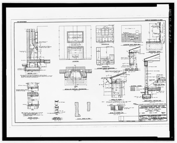
| LOCK NO. 1 - ST. LUCIE CANAL. ATTENDANT'S QUARTERS SINGLE HOUSE B - DETAILS - St. Lucie Canal, Lock No. 1, Attendant's Quarters, St. Lucie, Cross State Canal, Okeechobee Intracoastal Waterway, Stuart, Martin County, FL | ||||
|---|---|---|---|---|
| Photographer |
Bryant, Richard T. Related names:
|
|||
| Title |
LOCK NO. 1 - ST. LUCIE CANAL. ATTENDANT'S QUARTERS SINGLE HOUSE B - DETAILS - St. Lucie Canal, Lock No. 1, Attendant's Quarters, St. Lucie, Cross State Canal, Okeechobee Intracoastal Waterway, Stuart, Martin County, FL |
|||
| Depicted place | Florida; Martin County; Stuart | |||
| Date | 2000 | |||
| Dimensions | 8 x 10 in. | |||
| Current location |
Library of Congress Prints and Photographs Division Washington, D.C. 20540 USA http://hdl.loc.gov/loc.pnp/pp.print |
|||
| Accession number |
HAER FL-20-A-5-10 |
|||
| Credit line |
|
|||
| Notes |
|
|||
| Source | https://www.loc.gov/pictures/item/fl0549.photos.220543p | |||
| Permission (Reusing this file) |
|
|||

| Camera location | | View this and other nearby images on: OpenStreetMap |
|---|
File history
Click on a date/time to view the file as it appeared at that time.
| Date/Time | Thumbnail | Dimensions | User | Comment | |
|---|---|---|---|---|---|
| current | 18:59, 12 July 2014 |  | 5,233 × 4,222 (21.07 MB) | Fæ (talk | contribs) | GWToolset: Creating mediafile for Fæ. HABS 09 July 2014 (801:1000) |
You cannot overwrite this file.
File usage on Commons
The following page uses this file: