File:Limebrook Farm, near Wick - geograph.org.uk - 959695.jpg
Jump to navigation
Jump to search
No higher resolution available.
Limebrook_Farm,_near_Wick_-_geograph.org.uk_-_959695.jpg (640 × 490 pixels, file size: 73 KB, MIME type: image/jpeg)
Captions
Captions
Add a one-line explanation of what this file represents
Summary
[edit]| Description |
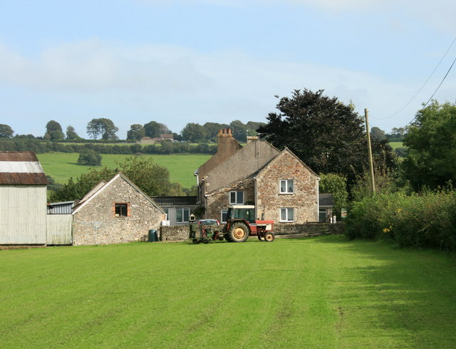
English: Limebrook Farm, near Wick. Looking over the field gate near the right had edge of 95974 we find this view of Limebrook Farm and Tog Hill.
As a young lad, with a following wind, I was able to cycle from the top of Tog Hill to Boyd Bridge near the Carpenters Arms in Wick without turning the pedals. |
| Date | |
| Source | From geograph.org.uk |
| Author | Maurice Pullin |
| Camera location | | View this and other nearby images on: OpenStreetMap |
|---|
| Object location | | View this and other nearby images on: OpenStreetMap |
|---|
Licensing
[edit]
|
This image was taken from the Geograph project collection. See this photograph's page on the Geograph website for the photographer's contact details. The copyright on this image is owned by Maurice Pullin and is licensed for reuse under the Creative Commons Attribution-ShareAlike 2.0 license.
|
This file is licensed under the Creative Commons Attribution-Share Alike 2.0 Generic license.
Attribution: Maurice Pullin
- You are free:
- to share – to copy, distribute and transmit the work
- to remix – to adapt the work
- Under the following conditions:
- attribution – You must give appropriate credit, provide a link to the license, and indicate if changes were made. You may do so in any reasonable manner, but not in any way that suggests the licensor endorses you or your use.
- share alike – If you remix, transform, or build upon the material, you must distribute your contributions under the same or compatible license as the original.

_heading:112.00&language=en)
_heading:112.00&language=en)
File history
Click on a date/time to view the file as it appeared at that time.
| Date/Time | Thumbnail | Dimensions | User | Comment | |
|---|---|---|---|---|---|
| current | 13:40, 22 February 2011 | | 640 × 490 (73 KB) | GeographBot (talk | contribs) | == {{int:filedesc}} == {{Information |description={{en|1=Limebrook Farm, near Wick Looking over the field gate near the right had edge of [095974] we find this view of Limebrook Farm and Tog Hill. As a young lad, with a following wind, I was able to |
You cannot overwrite this file.
File usage on Commons
There are no pages that use this file.