File:Lincolnshire UK location map.svg
跳转到导航
跳转到搜索

此SVG文件的PNG预览的大小:499 × 600像素。 其他分辨率:200 × 240像素 | 399 × 480像素 | 639 × 768像素 | 852 × 1,024像素 | 1,704 × 2,048像素 | 1,086 × 1,305像素。
原始文件 (SVG文件,尺寸为1,086 × 1,305像素,文件大小:2.71 MB)
说明
说明
添加一行文字以描述该文件所表现的内容
| 描述 |
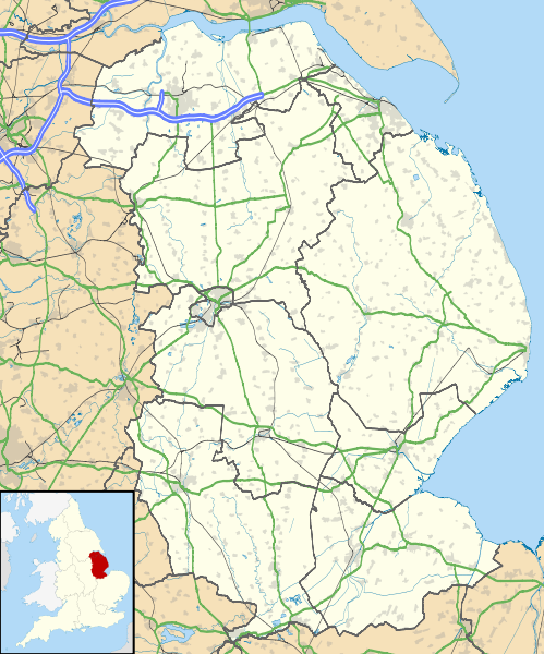
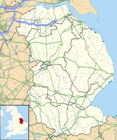
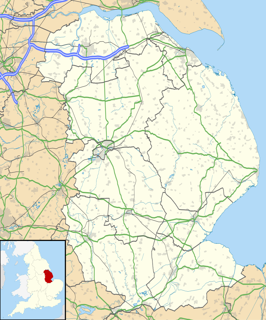
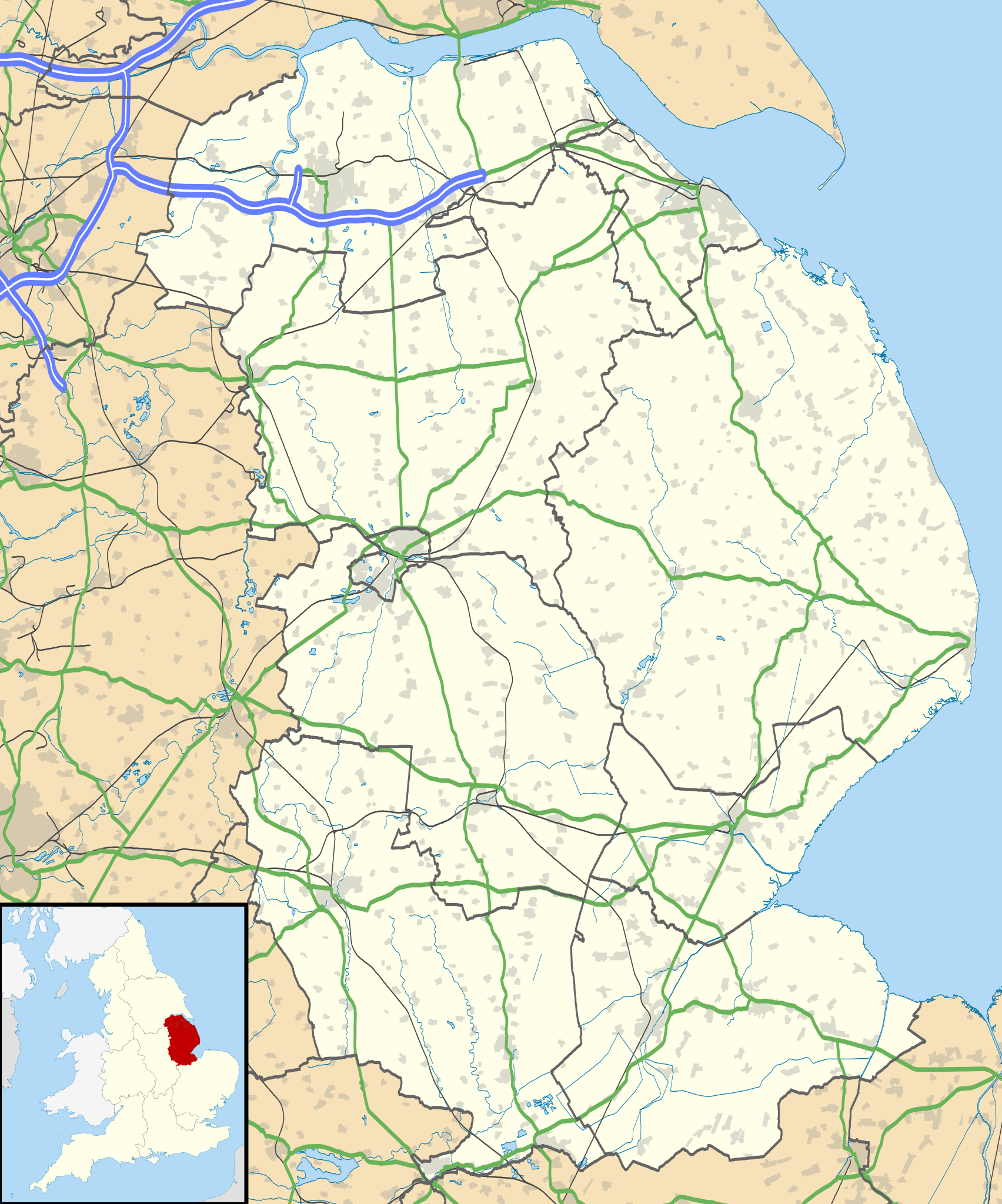
Map of Lincolnshire, UK with the following information shown:
Equirectangular map projection on WGS 84 datum, with N/S stretched 165% Geographic limits:
|
| 日期 |
2010-07-17 |
| 来源 |
|
| 作者 | Nilfanion, created using Ordnance Survey data |
| 授权 (二次使用本文件) |
本文件采用知识共享署名-相同方式共享 3.0 未本地化版本许可协议授权。 署名: Contains Ordnance Survey data © Crown copyright and database right
|
| 其他版本 | File:Lincolnshire UK district map (blank).svg - Blank map |
.svg)
文件历史
点击某个日期/时间查看对应时刻的文件。
| 日期/时间 | 缩略图 | 大小 | 用户 | 备注 | |
|---|---|---|---|---|---|
| 当前 | 2010年9月26日 (日) 19:01 | | 1,086 × 1,305(2.71 MB) | Nilfanion(留言 | 贡献) | {{Information |Description=Map of Lincolnshire, UK with the following information shown: *Administrative borders *Coastline, lakes and rivers *Roads and railways *Urban areas Equirectangular map projection on WGS 84 datum, with N/S str |
您不可以覆盖此文件。
文件用途
全域文件用途
以下其他wiki使用此文件:
- ar.wikipedia.org上的用途
- azb.wikipedia.org上的用途
- bg.wikipedia.org上的用途
- ceb.wikipedia.org上的用途
- de.wikipedia.org上的用途
- el.wikipedia.org上的用途
- en.wikipedia.org上的用途
- Sausthorpe
- Boston, Lincolnshire
- Crowland
- Woolsthorpe Manor
- Sutton Bridge
- Grantham
- Harlaxton Manor
- Brigg
- Cleethorpes
- Sleaford
- Woolsthorpe-by-Colsterworth
- Bolingbroke, Lincolnshire
- Scopwick
- North Thoresby
- Read's Island
- Grimsby
- Cranwell
- Scunthorpe
- Whitton, Lincolnshire
- Woolsthorpe by Belvoir
- Swallow, Lincolnshire
- Saltfleet
- Skegness
- Epworth, Lincolnshire
- Gainsborough, Lincolnshire
- Barton-upon-Humber
- Spalding, Lincolnshire
- Horncastle
- Louth, Lincolnshire
- Bourne, Lincolnshire
- Stamford, Lincolnshire
- Haddington, Lincolnshire
- Alford, Lincolnshire
- Crowle, Lincolnshire
- Market Rasen
- RAF Waddington
- Scartho
- RAF Scampton
- RAF Digby
- South Ormsby
- Salmonby
- Tathwell
- Ancaster, Lincolnshire
- RAF Coningsby
查看本文件的更多全域用途。