File:Mödling - Burgruine (b).JPG
Jump to navigation
Jump to search
Size of this preview: 799 × 600 pixels. Other resolutions: 320 × 240 pixels | 640 × 480 pixels | 1,024 × 768 pixels | 1,280 × 961 pixels | 2,560 × 1,921 pixels | 3,450 × 2,589 pixels.
Original file (3,450 × 2,589 pixels, file size: 8.35 MB, MIME type: image/jpeg)
Captions
Captions
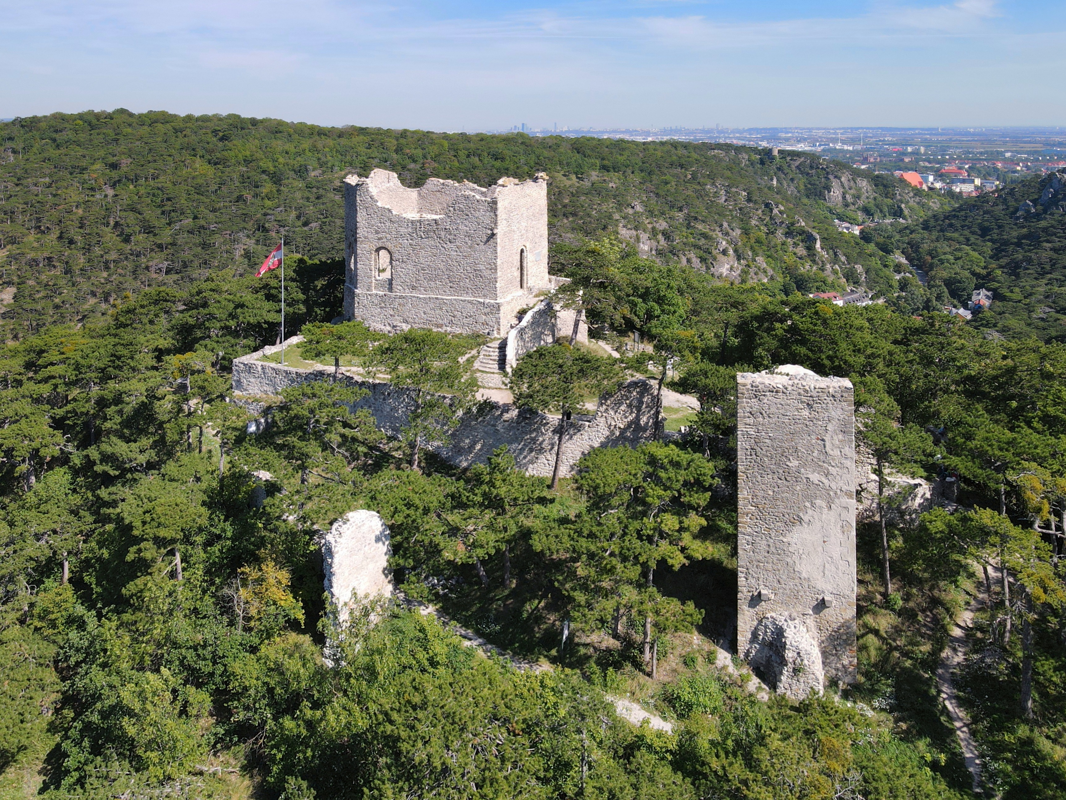
Southwest view of the Mödling castle ruins, Lower Austria.
Summary[edit]
| Description |
Deutsch: Südwestansicht der Ruine Burg Mödling in der niederösterreichischen Stadtgemeinde Mödling. Eine mittelalterlich-frühneuzeitliche Burganlage südlich über dem Klausental, die im Zuge des unter Fürst Johann I. von Liechtenstein angelegten ausgedehnten Landschaftsparks 1812 romantisch ausgestaltet bzw. rekonstruiert wurde.
English: Southwest view of the Mödling castle ruins, Lower Austria. |
| Date | |
| Source | Own work |
| Author | C.Stadler/Bwag |
| Permission (Reusing this file) |
Deutsch: Hallo, du darfst mein Foto kostenlos nutzen, aber nenne mich bitte als Fotograf, beispielsweise „Foto: C.Stadler/Bwag“ oder © C.Stadler/Bwag; CC-BY-SA-4.0. Auf mehr Angaben bestehe ich nicht - im Gegensatz zu manch anderen, die die Vorgaben der unten angeführten Lizenzierung auf Punkt und Beistrich einfordern. English: Feel free to use my photos, but please mention me as the author like © C.Stadler/Bwag or © C.Stadler/Bwag; CC-BY-SA-4.0 (that's good enough) and if you want send me a message: bwag@gmx.net. |
| Other versions |
|
.JPG)
.JPG&action=edit§ion=1)
| Object location | | View this and other nearby images on: OpenStreetMap |
|---|
.JPG¶ms=048.079380_N_0016.267380_E_globe:Earth_class:object_type:object__&language=en)
| Camera location | | View this and other nearby images on: OpenStreetMap |
|---|
.JPG¶ms=048.078890_N_0016.266920_E_globe:Earth_type:camera_heading:35.00&language=en)
Licensing[edit]
.JPG&action=edit§ion=2)
I, the copyright holder of this work, hereby publish it under the following license:
This file is licensed under the Creative Commons Attribution-Share Alike 4.0 International license.
- You are free:
- to share – to copy, distribute and transmit the work
- to remix – to adapt the work
- Under the following conditions:
- attribution – You must give appropriate credit, provide a link to the license, and indicate if changes were made. You may do so in any reasonable manner, but not in any way that suggests the licensor endorses you or your use.
- share alike – If you remix, transform, or build upon the material, you must distribute your contributions under the same or compatible license as the original.
| Annotations | This image is annotated: View the annotations at Commons |
.JPG)
File history
Click on a date/time to view the file as it appeared at that time.
| Date/Time | Thumbnail | Dimensions | User | Comment | |
|---|---|---|---|---|---|
| current | 08:23, 12 September 2021 | | 3,450 × 2,589 (8.35 MB) | Bwag (talk | contribs) | {{Information |Description= {{de|1= Südwestansicht der Ruine Burg Mödling in der niederösterreichischen Stadtgemeinde Mödling. Eine mittelalterlich-frühneuzeitliche Burganlage südlich über dem Klausental, die im Zuge des unter Fürst Johann I. von Liechtenstein angelegten ausgedehnten Landschaftsparks 1812 romantisch ausgestaltet bzw. rekonstruiert wurde.}} {{en|1= Southwest view of the Mödling castle ruins, Lower Austria.}} |Source= {{own}} |Date= 2021-09-10 |Author= Bwag |Per... |
You cannot overwrite this file.
File usage on Commons
The following 4 pages use this file:
File usage on other wikis
The following other wikis use this file:
- Usage on de.wikipedia.org
- Usage on de.wikivoyage.org
- Usage on en.wikipedia.org
- Usage on et.wikipedia.org
- Usage on ru.wikipedia.org
- Usage on uk.wikipedia.org
- Usage on www.wikidata.org
.JPG&oldid=731553772)