File:Map of Italy blank.svg
Jump to navigation
Jump to search

Size of this PNG preview of this SVG file: 480 × 600 pixels. Other resolutions: 192 × 240 pixels | 384 × 480 pixels | 614 × 768 pixels | 819 × 1,024 pixels | 1,638 × 2,048 pixels | 1,200 × 1,500 pixels.
Original file (SVG file, nominally 1,200 × 1,500 pixels, file size: 822 KB)
Captions
Captions
Add a one-line explanation of what this file represents
Summary
[edit]
| Description |
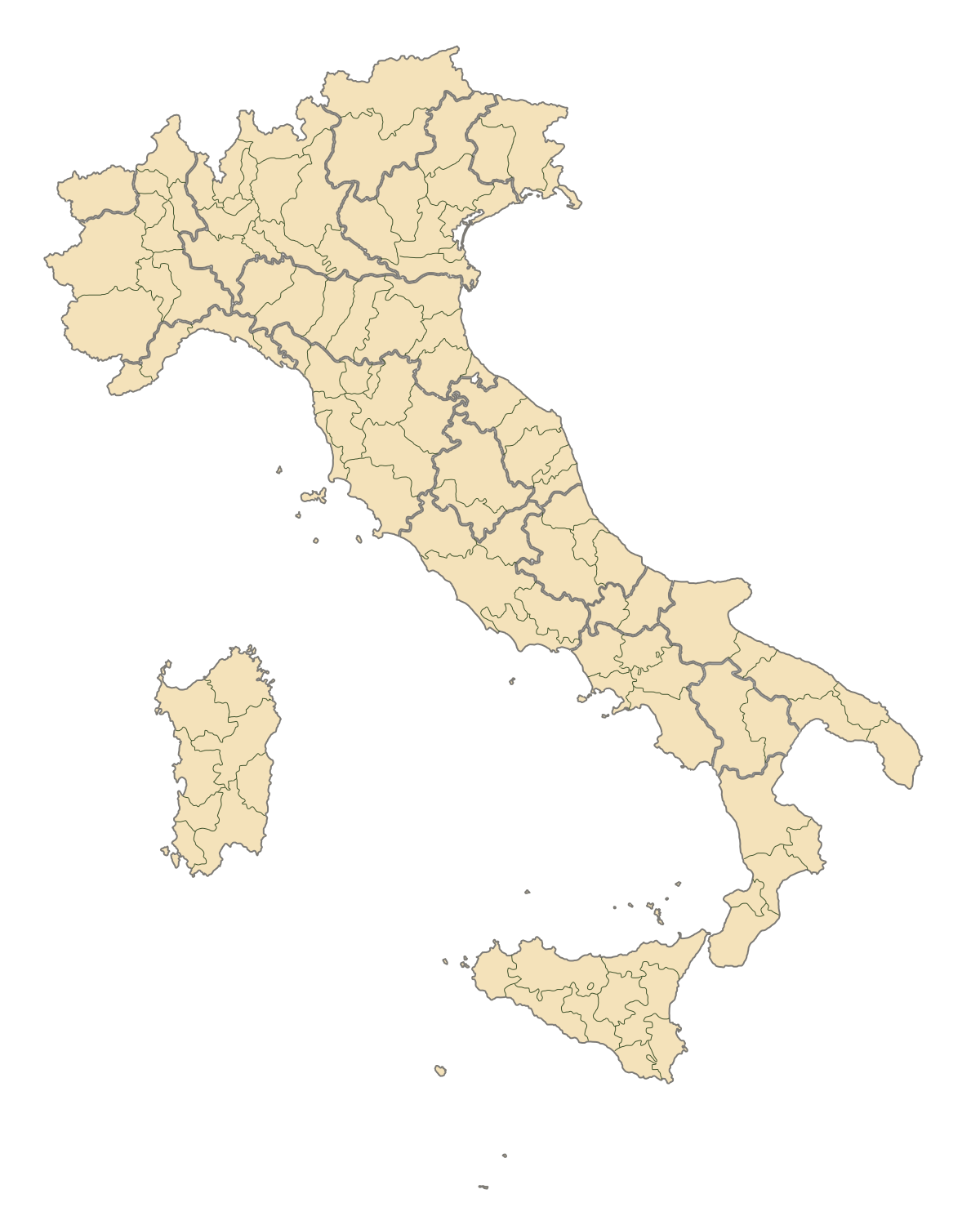
English: Blank map of Italy, divided in provinces. It can be easily divided even in regions. Situation before 2009. |
||
| Date | |||
| Source | Own work | ||
| Author | F l a n k e r | ||
| Permission (Reusing this file) |
|
||
| Other versions |
Derivative works of this file: |
.svg)
.svg)
.svg)
.svg)
.svg)
.svg)
File history
Click on a date/time to view the file as it appeared at that time.
| Date/Time | Thumbnail | Dimensions | User | Comment | |
|---|---|---|---|---|---|
| current | 19:42, 2 August 2015 | | 1,200 × 1,500 (822 KB) | Carnby (talk | contribs) | IT-TS+IT-88 |
| 22:54, 31 July 2015 |  | 1,200 × 1,500 (823 KB) | Carnby (talk | contribs) | Rimini | |
| 19:56, 3 December 2009 |  | 1,200 × 1,500 (821 KB) | F l a n k e r (talk | contribs) | Added provinces of Molise | |
| 00:15, 3 December 2009 |  | 1,200 × 1,500 (820 KB) | Vonvikken (talk | contribs) | Fixed wrong borders between Abruzzo and Molise | |
| 11:58, 28 March 2007 |  | 1,200 × 1,500 (828 KB) | F l a n k e r (talk | contribs) | ||
| 17:56, 12 January 2007 |  | 1,200 × 1,500 (552 KB) | F l a n k e r (talk | contribs) | ||
| 12:10, 19 November 2006 |  | 1,200 × 1,500 (559 KB) | F l a n k e r (talk | contribs) | {{Information |Description=Blank map of Italy, divided in provinces. It can be easily divided even in regions. |Source= |Date=19 Nov. 2006 |Author=F l a n k e r |Permission= |other_versions= }} |
You cannot overwrite this file.
File usage
The following 18 pages use this file:
- Atlas of Italy
- Italia
- Maps of Italy
- File:Aviano-dotmap.jpg
- File:Aviano dotmap.png
- File:Italien, Verwaltungseinheiten mit gotischer Backsteinarchitektur.png
- File:Italien Regionen Metropolitanstädte.png
- File:Map of Italian provinces (1954).svg
- File:Map of Italian provinces (1964).svg
- File:Map of Italian provinces (1968).svg
- File:Map of Italian provinces (1970).svg
- File:Map of Italian provinces (1974).svg
- File:Map of Italian provinces (1992).svg
- File:Map of Italian provinces - animated.gif
- File:Regione Abruzzo.svg
- File:Sicily location map.svg
- Category:Provinces of Italy
- Category:Provinces of Italy by region
Global file usage
The following other wikis use this file:
- Usage on ast.wikipedia.org
- Usage on ca.wikipedia.org
- Usage on gl.wikipedia.org
- Usage on hy.wikipedia.org
- Usage on ia.wikipedia.org
- Usage on it.wikinews.org
- Usage on ru.wikipedia.org
- Usage on tg.wikipedia.org
- Usage on uk.wikipedia.org
- Usage on www.wikidata.org