File:Maps of Nicaragua by U.S. Surveying Expeditions of 1872 & 1873 with plans of the proposed canal LOC 2014589386-8.tif
Jump to navigation
Jump to search

Size of this JPG preview of this TIF file: 759 × 599 pixels. Other resolutions: 304 × 240 pixels | 608 × 480 pixels | 973 × 768 pixels | 1,280 × 1,011 pixels | 2,560 × 2,022 pixels | 5,145 × 4,063 pixels.
Original file (5,145 × 4,063 pixels, file size: 59.81 MB, MIME type: image/tiff)
Captions
Captions
Add a one-line explanation of what this file represents
Summary
[edit]| Description |
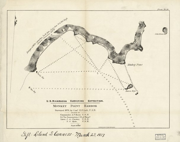
English: Title devised by cataloger. Gift, Leland S. Conness, March 23, 1927. In upper margin: Plate No. 1., Available also through the Library of Congress Web site as a raster image. |
||
| Title | [Maps of Nicaragua by U.S. Surveying Expeditions of 1872 & 1873 with plans of the proposed canal]. | ||
| Shelf ID | G4852.N5C2 svar .M2 | ||
| Parent | https://www.loc.gov/resource/g4852nm.gct00280/ | ||
| Sheet title | U.S. Nicaragua Surveying Expedition: Gmonkey Point Harbor. (1873) | ||
| Date | |||
| Source | https://www.loc.gov/item/2014589386/ | ||
| Author | Philip, James; U.S. Surveying Expedition | ||
| Permission (Reusing this file) |
|
||
| Other versions |
|
||
| Location | Central America · Nicaragua · Nicaragua · Nicaragua Canal. · Nicaragua Canal | ||
| Part of | American Memory · General Maps · Catalog · Geography And Map Division | ||
| Subject | Central America · Waterways · Charts, Diagrams, Etc · Rivers · Maps · Nicaragua Canal · Canals · Nicaragua · Nicaragua Canal (Nicaragua) · Canal Zone |


Licensing
[edit]|
This is a faithful photographic reproduction of a two-dimensional, public domain work of art. The work of art itself is in the public domain for the following reason:
The official position taken by the Wikimedia Foundation is that "faithful reproductions of two-dimensional public domain works of art are public domain".
This photographic reproduction is therefore also considered to be in the public domain in the United States. In other jurisdictions, re-use of this content may be restricted; see Reuse of PD-Art photographs for details. | ||||
File history
Click on a date/time to view the file as it appeared at that time.
| Date/Time | Thumbnail | Dimensions | User | Comment | |
|---|---|---|---|---|---|
| current | 05:04, 23 May 2018 |  | 5,145 × 4,063 (59.81 MB) | Fæ (talk | contribs) | LOC Maps multisheet https://www.loc.gov/item/2014589386/ sheet 8 of 9 #1172 |
You cannot overwrite this file.
File usage on Commons
The following page uses this file: