File:Midlothian UK location map.svg
ナビゲーションに移動
検索に移動

この SVG ファイルのこの PNG プレビューのサイズ: 651 × 600 ピクセル. その他の解像度: 261 × 240 ピクセル | 521 × 480 ピクセル | 834 × 768 ピクセル | 1,111 × 1,024 ピクセル | 2,223 × 2,048 ピクセル | 1,425 × 1,313 ピクセル。
元のファイル (SVG ファイル、1,425 × 1,313 ピクセル、ファイルサイズ: 796キロバイト)
キャプション
キャプション
このファイルの内容を1行で記述してください
| 解説 |
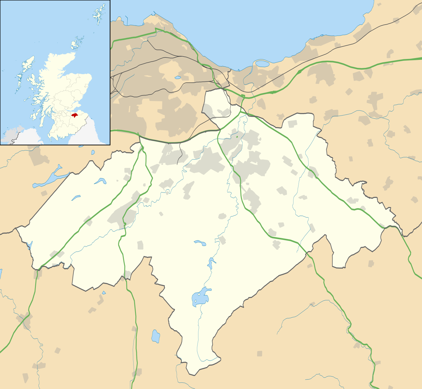
Blank map of Midlothian, UK with the following information shown:
Equirectangular map projection on WGS 84 datum, with N/S stretched 175% Geographic limits:
|
| 日付 | |
| 原典 |
|
| 作者 | Nilfanion, created using Ordnance Survey data |
| 許可 (ファイルの再利用) |
このファイルはクリエイティブ・コモンズ 表示-継承 3.0 非移植ライセンスのもとに利用を許諾されています。 帰属: Contains Ordnance Survey data © Crown copyright and database right
|
| その他のバージョン | File:Midlothian UK blank map.svg - Blank map |
ファイルの履歴
過去の版のファイルを表示するには、その版の日時をクリックしてください。
| 日付と時刻 | サムネイル | 寸法 | 利用者 | コメント | |
|---|---|---|---|---|---|
| 現在の版 | 2010年9月26日 (日) 20:17 | | 1,425 × 1,313 (796キロバイト) | Nilfanion (トーク | 投稿記録) | {{Information |Description=Blank map of Midlothian, UK with the following information shown: *Administrative borders *Coastline, lakes and rivers *Roads and railways *Urban areas Equirectangular map projection on WGS 84 datum, with N/S s |
このファイルは上書きできません。
ファイルの使用状況
以下の 2 ページがこのファイルを使用しています:
グローバルなファイル使用状況
以下に挙げる他のウィキがこの画像を使っています:
- ar.wikipedia.org での使用状況
- bg.wikipedia.org での使用状況
- ceb.wikipedia.org での使用状況
- de.wikipedia.org での使用状況
- en.wikipedia.org での使用状況
- Midlothian
- List of monastic houses in Scotland
- Dalkeith
- Rosslyn Chapel
- Bonnyrigg
- Penicuik
- Gorebridge
- Loanhead
- Roslin, Midlothian
- Hillend, Edinburgh
- Lasswade
- Mayfield, Midlothian
- Newtongrange
- Nine Mile Burn
- Polton
- Crichton Castle
- Rosewell, Midlothian
- Newbattle
- Danderhall
- Easthouses
- North Middleton, Midlothian
- Bilston, Midlothian
- Crichton, Midlothian
- Pathhead, Midlothian
- Auchendinny
- Borthwick
- Temple, Midlothian
- Fala, Midlothian
- Shawfair railway station
- Eskbank railway station
- Newtongrange railway station
- Gorebridge railway station
- Birkenside, Midlothian
- Arniston, Midlothian
- Shawfair
- Easter Howgate
- Dewartown
- Edgehead
- Carrington, Midlothian
- Silverburn, Midlothian
- Preston Hall, Midlothian
- Module:Location map/data/Scotland Midlothian/doc
- Midlothian Community Hospital
- Oxenfoord Castle
- Glencorse Barracks
- Hopefield, Bonnyrigg
このファイルのグローバル使用状況を表示する。