File:Municipalities in RE.svg
Jump to navigation
Jump to search

Size of this PNG preview of this SVG file: 423 × 340 pixels. Other resolutions: 299 × 240 pixels | 597 × 480 pixels | 956 × 768 pixels | 1,274 × 1,024 pixels | 2,548 × 2,048 pixels.
Original file (SVG file, nominally 423 × 340 pixels, file size: 1.58 MB)
Captions
Captions
Add a one-line explanation of what this file represents
Summary[edit]
| Description |
|
||||||||||||||||||
| Date | |||||||||||||||||||
| Source |
 |
||||||||||||||||||
| Author | TUBS |
Licensing[edit]
I, the copyright holder of this work, hereby publish it under the following licenses:

|
Permission is granted to copy, distribute and/or modify this document under the terms of the GNU Free Documentation License, Version 1.2 or any later version published by the Free Software Foundation; with no Invariant Sections, no Front-Cover Texts, and no Back-Cover Texts. A copy of the license is included in the section entitled GNU Free Documentation License. |
This file is licensed under the Creative Commons Attribution-Share Alike 3.0 Unported, 2.5 Generic, 2.0 Generic and 1.0 Generic license.
- You are free:
- to share – to copy, distribute and transmit the work
- to remix – to adapt the work
- Under the following conditions:
- attribution – You must give appropriate credit, provide a link to the license, and indicate if changes were made. You may do so in any reasonable manner, but not in any way that suggests the licensor endorses you or your use.
- share alike – If you remix, transform, or build upon the material, you must distribute your contributions under the same or compatible license as the original.
You may select the license of your choice.
For versions later than May 2013 due to incorporation of Open Street Map data (=water bodies, district borders) license has changed to:
| This work is licensed under the Open Database License (summary). |
File history
Click on a date/time to view the file as it appeared at that time.
| Date/Time | Thumbnail | Dimensions | User | Comment | |
|---|---|---|---|---|---|
| current | 22:27, 20 August 2013 | | 423 × 340 (1.58 MB) | Elop (talk | contribs) | temporär mal mit Bächen |
| 15:50, 19 August 2013 |  | 423 × 340 (1.41 MB) | Elop (talk | contribs) | Lippe-Seitenkanal war versehentlich ausgeblendet | |
| 15:44, 19 August 2013 |  | 423 × 340 (1.41 MB) | Elop (talk | contribs) | etwas optimiert: Miniweiher ausgeblendet, Rahmenbreite bei Seen von 1 auf 0,1; Flußbreiten strukturiert (Lippe>Emscher/Stever>Halterner Mühlenbach), redundante Grenzen ausgeblendet; Lippekontur von Kanalkontur getrennt und ausgeblendet; Flußpfadsegm... | |
| 17:36, 31 May 2013 |  | 423 × 340 (1.38 MB) | TUBS (talk | contribs) | ||
| 22:17, 26 November 2010 |  | 423 × 340 (566 KB) | Hagar66 (talk | contribs) | {{Information |Description= |Source= |Date= |Author= |Permission= |other_versions= }} | |
| 13:02, 14 December 2009 |  | 509 × 385 (573 KB) | Hagar66 (talk | contribs) | {{Information |Description= |Source= |Date= |Author= |Permission= |other_versions= }} | |
| 14:11, 25 November 2009 |  | 509 × 385 (855 KB) | Hagar66 (talk | contribs) | {{Information |Description= |Source= |Date= |Author= |Permission= |other_versions= }} | |
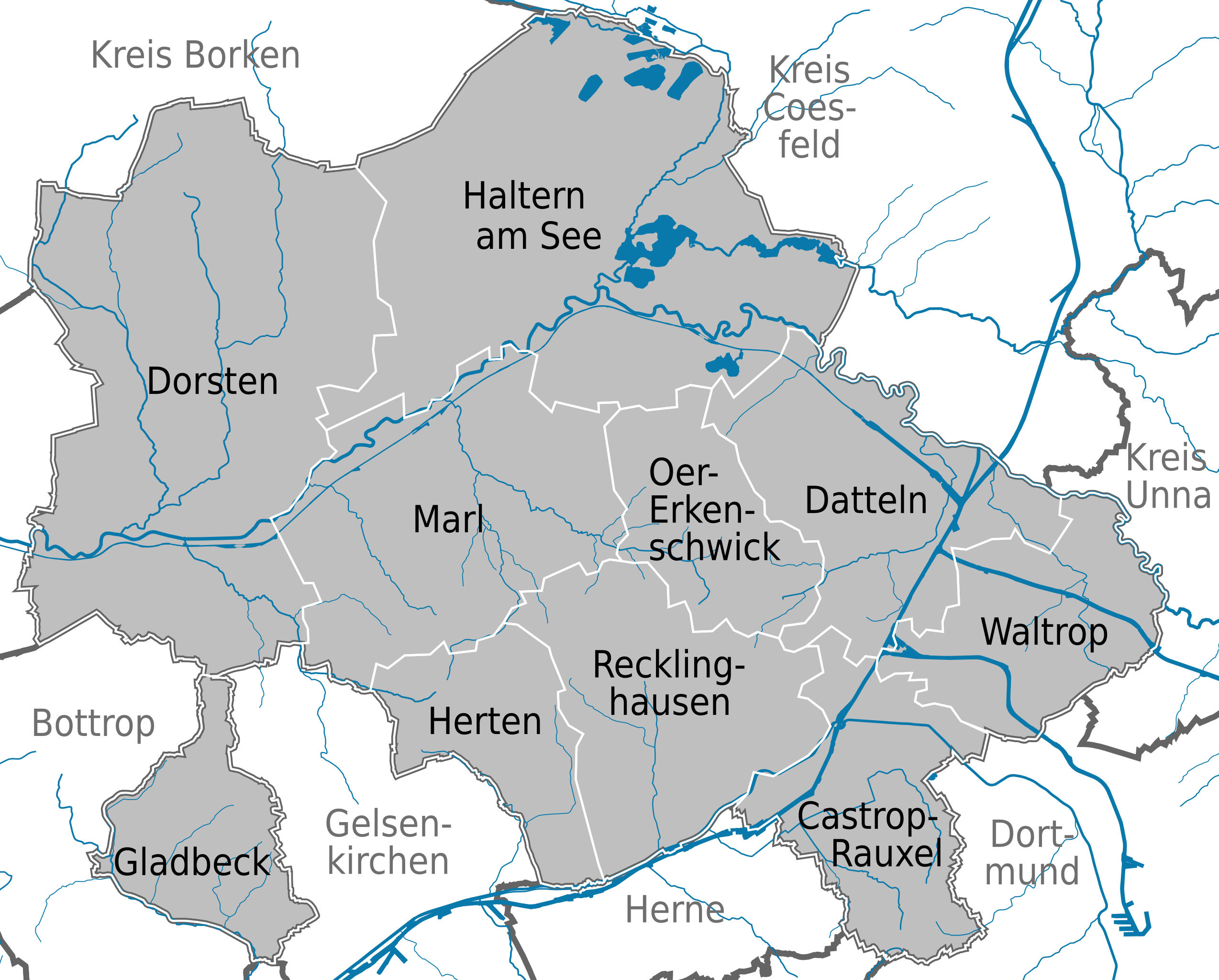
| 13:48, 28 August 2008 |  | 399 × 330 (1.17 MB) | TUBS (talk | contribs) | == Summary == {{Information |Description=Municipalities (Gemeinden) in Kreis Recklinghausen, Nordrhein-Westfalen |Source=<imagemap> image:North rhine w template 2.png|100px| default Image:North rhine w template 2.svg desc none </imagemap> |Date=2008 |
You cannot overwrite this file.
File usage on Commons
There are no pages that use this file.
File usage on other wikis
The following other wikis use this file:
- Usage on de.wikipedia.org
- Usage on en.wikipedia.org
- Usage on et.wikipedia.org
- Usage on fa.wikipedia.org
- Usage on fi.wikipedia.org
- Usage on ku.wikipedia.org
- Usage on li.wikipedia.org
- Usage on nl.wikipedia.org
- Usage on pt.wikipedia.org
- Usage on sv.wikipedia.org
- Usage on tr.wikipedia.org
- Usage on uk.wikipedia.org