File:NDL761466 地理書直訳 part1.pdf


Original file (5,612 × 4,085 pixels, file size: 84.94 MB, MIME type: application/pdf, 100 pages)
Captions
Captions
Summary
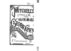
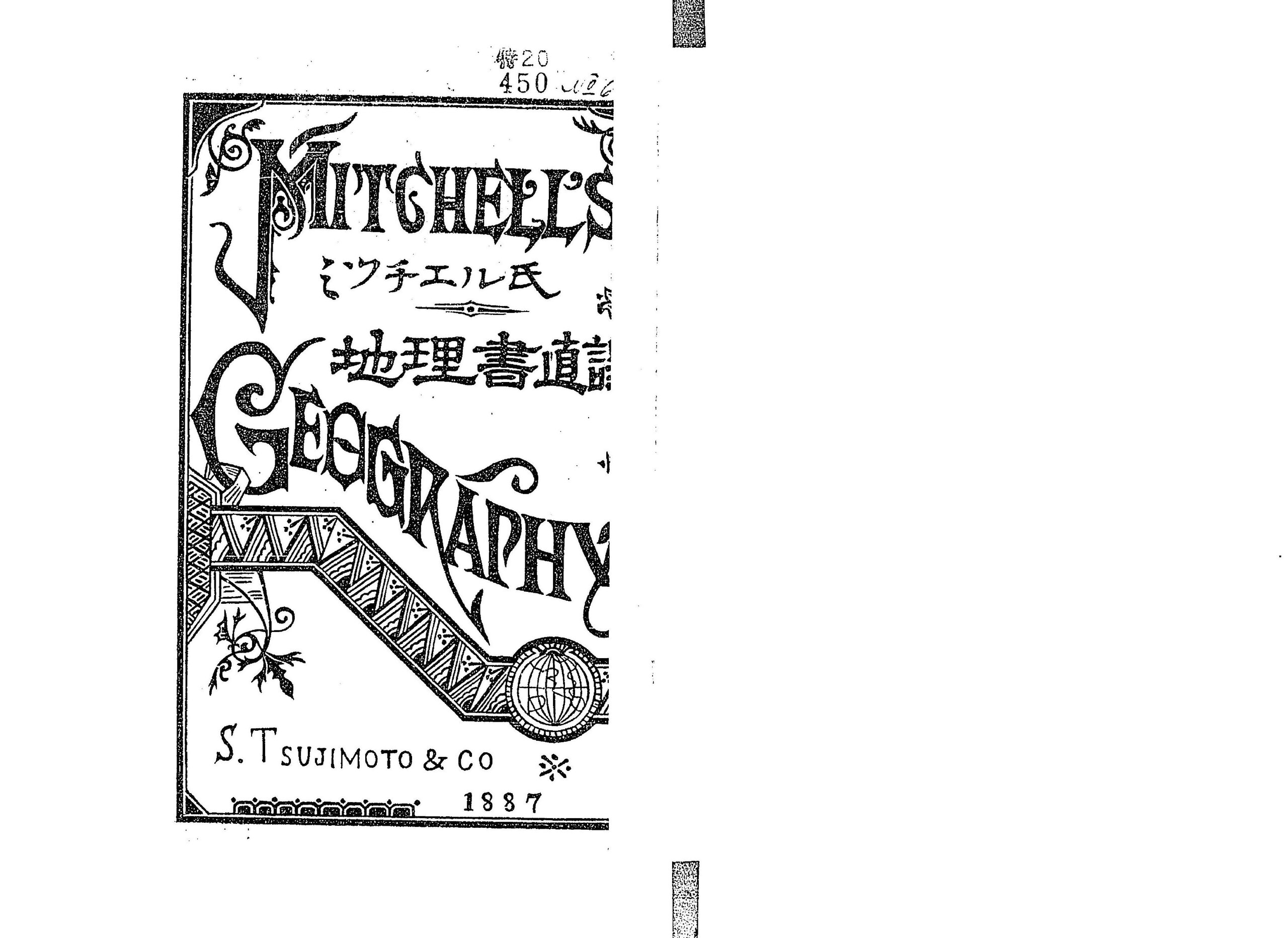
[edit]| 地理書直訳
( |
|||||||||||||||||||||||||||
|---|---|---|---|---|---|---|---|---|---|---|---|---|---|---|---|---|---|---|---|---|---|---|---|---|---|---|---|
| Author |
Mitchell, Samuel Augustus, 1792-1868 谷, 春雄, 18??- |
 | |||||||||||||||||||||||||
| Title |
地理書直訳 |
||||||||||||||||||||||||||
| Publisher |
辻本尚書堂 |
||||||||||||||||||||||||||
| Language | jpn | ||||||||||||||||||||||||||
| Publication date |
1887 明20.11 |
||||||||||||||||||||||||||
| Place of publication | JP | ||||||||||||||||||||||||||
| Source |
|
||||||||||||||||||||||||||
| Title Transcription | チリショ チョクヤク | ||||||||||||||||||||||||||
| Subject: NDC | 290 | ||||||||||||||||||||||||||
| Call Number | 特20-450 | ||||||||||||||||||||||||||
| Creator | ミッチェル 著 谷春雄 訳 | ||||||||||||||||||||||||||
| Source Identifier: JPNO | 40006041 | ||||||||||||||||||||||||||
| Material Type | Book | ||||||||||||||||||||||||||
| Source Identifier: NDLBibID | 000000424085 | ||||||||||||||||||||||||||
| Audience | 一般 | ||||||||||||||||||||||||||
| Publication Place | 東京 | ||||||||||||||||||||||||||
| Creator: NDLNAId | 00471744 00500908 | ||||||||||||||||||||||||||
| Creator Transcription: NDLNA | タニ, ハルオ | ||||||||||||||||||||||||||
| Publisher Transcription | ツジモト ショウショドウ | ||||||||||||||||||||||||||
| Extent | 273p ; 18cm | ||||||||||||||||||||||||||
| Contents | 標題紙
「ニユー、ヨーク」「ニユージヤーシー」「ペンシルバニア」「デラウエヤァー」「メヤリーランド」「西ヴァージニア」及ビ「ヴァジニア」ノ図 「ニユージャーシー」「ペンシルバニア」「デラウエヤァー」「メヤリーランド」「西ヴァージニア」及ビ「ヴァジニア」ノ図ノ解明地理 「北カロライナ」「南カロライナ」「ジヨウジア」「フロリダ」「アラバマ」「ミシシッピー」「ルイシアナ」「アルカンサス」及ビ「テンネッシー」ノ図 「北カロライナ」「南カロライナ」「ジヨウジア」「フロリダ」「アラバマ」「ミシシッピー」「ルイシアナ」「アルカンサス」及ビ「テンネッシー」ノ図ノ解明地理 「ヲハイヲ」「イン◇ヤナ」「イリノイス」「ミチガン」「ケンタッキー」「ミゾリー」「アイヲワ」「ウ井スコンシン」及ビ「ミネソタ」ノ図 「ヲハイヲ」「イン◇ヤナ」「イリノイス」「ミチガン」「ケンタッキー」「ミゾリー」「アイヲワ」「ウ井スコンシン」及ビ「ミネソタ」ノ図ノ解明地理 「テキサス」「カリフヲルニア」「ヲリゴン」及ビ「カンサス」ノ解明地理 「テキサス」「カリフヲルニア」「チリゴン」「ネバタ」「コロラド」「カンサス」「ネブラスカ」及ビ「テリトリース」ノ図 「ネバタ」「ネブラスカ」「コロラド」「及ビ「テリトリース」ノ解明地理 欧羅巴ノ図ノ解明地理 |
||||||||||||||||||||||||||

Licensing
[edit]This image is in the public domain because it is a mere mechanical scan or photocopy of a public domain original, or – from the available evidence – is so similar to such a scan or photocopy that no copyright protection can be expected to arise. The original itself is in the public domain for the following reason:
This tag is designed for use where there may be a need to assert that any enhancements (eg brightness, contrast, colour-matching, sharpening) are in themselves insufficiently creative to generate a new copyright. It can be used where it is unknown whether any enhancements have been made, as well as when the enhancements are clear but insufficient. For known raw unenhanced scans you can use an appropriate {{PD-old}} tag instead. For usage, see Commons:When to use the PD-scan tag.  |

著作権法第67条第1項により文化庁長官裁定を受けて公開(裁定年月日: 2019/01/25)
File history
Click on a date/time to view the file as it appeared at that time.
| Date/Time | Thumbnail | Dimensions | User | Comment | |
|---|---|---|---|---|---|
| current | 08:50, 21 January 2024 |  | 5,612 × 4,085, 100 pages (84.94 MB) | Wmr-bot (talk | contribs) | 上載《761466_1.pdf》 |
You cannot overwrite this file.
File usage on Commons
The following page uses this file: