File:Noordenveld op kaart van Drenthe door Cornelis Pijnacker.jpg
Jump to navigation
Jump to search
Size of this preview: 675 × 599 pixels. Other resolutions: 270 × 240 pixels | 541 × 480 pixels | 804 × 714 pixels.
Original file (804 × 714 pixels, file size: 90 KB, MIME type: image/jpeg)
Captions
Captions
Add a one-line explanation of what this file represents
Summary[edit]
| Description |
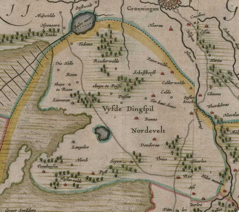
Nederlands: Oude kaart van Drenthe uit 1634 (fragment) |
| Date | |
| Source |
Nederlands: Opgenomen in de atlas van Blaeu - regionaal archief Leiden[1] |
| Author | Cornelis Pijnacker (1570-1645) |
Licensing[edit]
|
This work is in the public domain in its country of origin and other countries and areas where the copyright term is the author's life plus 100 years or fewer. | |
| This file has been identified as being free of known restrictions under copyright law, including all related and neighboring rights. | |
File history
Click on a date/time to view the file as it appeared at that time.
| Date/Time | Thumbnail | Dimensions | User | Comment | |
|---|---|---|---|---|---|
| current | 16:00, 17 November 2009 | | 804 × 714 (90 KB) | Gouwenaar (talk | contribs) | {{Information |Description={{nl|1=Oude kaart van Drenthe uit 1634 (fragment)}} |Source={{nl|Opgenomen in de atlas van Blaeu - regionaal archief Leiden[http://www.leidenarchief.nl/content/view/103/68/ ]}} |Date= 1634 |Author= Cornelis Pijnacker (1570-1645) |
You cannot overwrite this file.
File usage on Commons
The following page uses this file:
File usage on other wikis
The following other wikis use this file:
- Usage on nl.wikipedia.org