File:North Sea location map.svg
跳转到导航
跳转到搜索

此SVG文件的PNG预览的大小:511 × 599像素。 其他分辨率:205 × 240像素 | 409 × 480像素 | 655 × 768像素 | 873 × 1,024像素 | 1,746 × 2,048像素 | 988 × 1,159像素。
原始文件 (SVG文件,尺寸为988 × 1,159像素,文件大小:582 KB)
说明
说明
添加一行文字以描述该文件所表现的内容
摘要
[编辑]| 描述 |
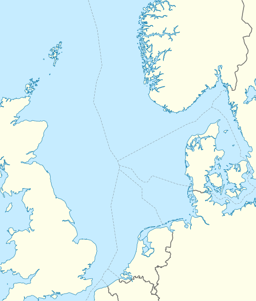
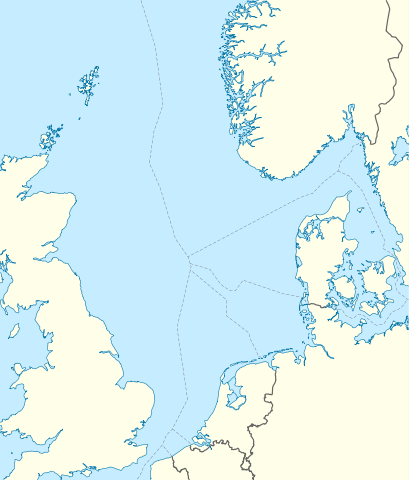
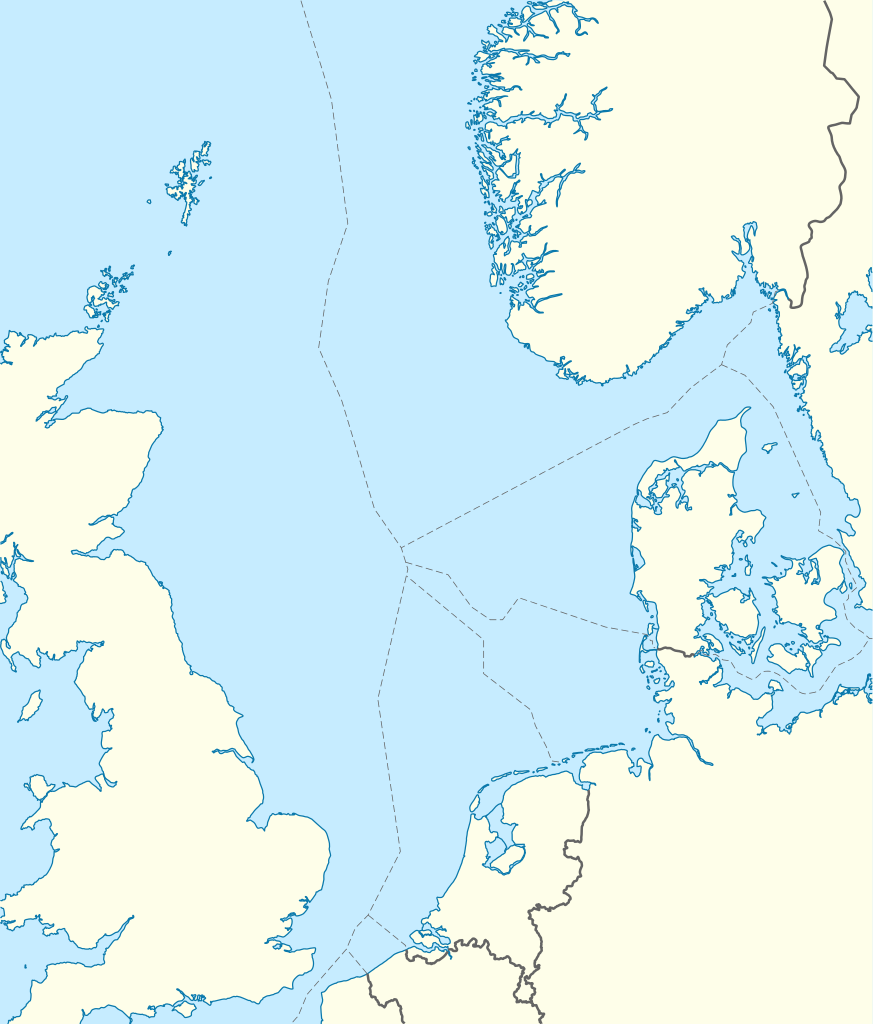
Deutsch: Positionskarte der Nordsee
Quadratische Plattkarte, N-S-Streckung 180 %. Geographische Begrenzung der Karte:
English: Location map of the North Sea
Equirectangular projection, N/S stretching 180 %. Geographic limits of the map:
|
|
| 日期 | ||
| 来源 | own work, using World Data Base II data | |
| 作者 | NordNordWest | |
| 授权 (二次使用本文件) |
本文件采用知识共享署名-相同方式共享 3.0 德国许可协议授权。
 本文件采用知识共享署名-相同方式共享 3.0 德国许可协议授权。
|
|
| 其他版本 |
此文件衍生的作品:
|


|
|
文件历史
点击某个日期/时间查看对应时刻的文件。
| 日期/时间 | 缩略图 | 大小 | 用户 | 备注 | |
|---|---|---|---|---|---|
| 当前 | 2010年6月18日 (五) 08:49 | | 988 × 1,159(582 KB) | NordNordWest(留言 | 贡献) | == {{int:filedesc}} == {{Information |Description= {{de|Positionskarte der Nordsee}} Quadratische Plattkarte, N-S-Streckung 180 %. Geographische Begrenzung der Karte: * N: 62.5° N * S: 50.5° N * W: 5.2° W * O: 13.2° O {{en|Location map |
您不可以覆盖此文件。
文件用途
以下8个页面使用本文件:
全域文件用途
以下其他wiki使用此文件:
- ar.wikipedia.org上的用途
- ast.wikipedia.org上的用途
- az.wikipedia.org上的用途
- ban.wikipedia.org上的用途
- be.wikipedia.org上的用途
- ca.wikipedia.org上的用途
- ceb.wikipedia.org上的用途
- cs.wikipedia.org上的用途
- da.wikipedia.org上的用途
- de.wikipedia.org上的用途
- Piper Alpha
- Troll A
- HGÜ Troll
- Ekofisk
- Offshore-Windpark Butendiek
- Wikipedia:Kartenwerkstatt/Positionskarten/Andere
- Offshore-Windpark Rhyl Flats
- Offshore-Windpark North Hoyle
- Offshore-Windpark Borkum Riffgrund
- Offshore-Windpark Sandbank
- Offshore-Windpark DanTysk
- Offshore-Windpark Nördlicher Grund
- Offshore-Windpark Global Tech I
- BARD Offshore 1
- Trianel Windpark Borkum
- Offshore-Windpark Hohe See
- Offshore-Windpark He dreiht
- Offshore-Windpark Veja Mate
- BorWin1
- Offshore-Windpark London Array
- Offshore-Windpark Gwynt y Môr
- Vorlage:Positionskarte Nordsee
- Offshore-Windpark Riffgat
- Gannet Alpha
- Offshore-Windpark Albatros
- Offshore-Windpark Greater Gabbard
- Elgin Wellhead Platform
- Alvheim
- Wikipedia:Auskunft/Archiv/2013/Woche 27
查看此文件的更多全域用途。