File:North Yorkshire UK location map (1974-2023).svg
跳转到导航
跳转到搜索

此SVG文件的PNG预览的大小:800 × 582像素。 其他分辨率:320 × 233像素 | 640 × 466像素 | 1,024 × 745像素 | 1,280 × 931像素 | 2,560 × 1,863像素 | 1,425 × 1,037像素。
原始文件 (SVG文件,尺寸为1,425 × 1,037像素,文件大小:3.22 MB)
说明
说明
添加一行文字以描述该文件所表现的内容
| 描述 |
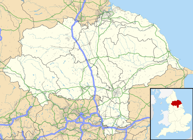
Map of North Yorkshire, UK with the following information shown:
Equirectangular map projection on WGS 84 datum, with N/S stretched 170% Geographic limits:
|
| 日期 | |
| 来源 |
|
| 作者 | Nilfanion, created using Ordnance Survey data |
| 授权 (二次使用本文件) |
本文件采用知识共享署名-相同方式共享 3.0 未本地化版本许可协议授权。 署名: Contains Ordnance Survey data © Crown copyright and database right
|
| 其他版本 | File:North Yorkshire UK district map (blank).svg - Blank map |
.svg)
文件历史
点击某个日期/时间查看对应时刻的文件。
| 日期/时间 | 缩略图 | 大小 | 用户 | 备注 | |
|---|---|---|---|---|---|
| 当前 | 2018年4月1日 (日) 20:34 | | 1,425 × 1,037(3.22 MB) | Nilfanion(留言 | 贡献) | Update to A1 -> A1(M), other tweaks |
| 2010年9月26日 (日) 19:07 |  | 1,425 × 1,037(3.17 MB) | Nilfanion(留言 | 贡献) | {{Information |Description=Map of North Yorkshire, UK with the following information shown: *Administrative borders *Coastline, lakes and rivers *Roads and railways *Urban areas Equirectangular map projection on WGS 84 datum, with N |
您不可以覆盖此文件。
文件用途
以下7个页面使用本文件:
.svg)
全域文件用途
以下其他wiki使用此文件:
- ar.wikipedia.org上的用途
- bg.wikipedia.org上的用途
- ceb.wikipedia.org上的用途
- da.wikipedia.org上的用途
- en.wikipedia.org上的用途
- es.wikipedia.org上的用途
- York
- Castillo de Howard
- Scarborough
- Ripon
- Middlesbrough
- RAF Fylingdales
- Catedral de York
- Museo de Yorkshire
- Stainforth (Yorkshire del Norte)
- Harrogate
- Plantilla:Mapa de localización de Yorkshire del Norte
- Fulford (Yorkshire del Norte)
- Tunstall (Yorkshire del Norte)
- Abadía de Whitby
- Barlby
- Appletreewick
- Skipton
- Selby
- Northallerton
- Glaisdale
- Cross Hills
- Colburn (Yorkshire del Norte)
- Ampleforth
- Alne
- Cononley
- Cowling
- Appleton Roebuck
- Darley
- Alanbrooke Barracks
- Monk Fryston
- Helperby
- High Bentham
- Hemingbrough
- Austwick
- Embsay
- East Cowton
- Easingwold
- Eggborough
- Escrick
- Bagby
- Hensall
- Hinderwell
- Sheriff Hutton
- Shipton (Yorkshire del Norte)
查看此文件的更多全域用途。
.svg)
.svg&oldid=745932102)