File:OSM map Toissieu.jpg
Jump to navigation
Jump to search

Size of this preview: 800 × 325 pixels. Other resolutions: 320 × 130 pixels | 640 × 260 pixels | 1,192 × 484 pixels.
Original file (1,192 × 484 pixels, file size: 133 KB, MIME type: image/jpeg)
Captions
Captions
Add a one-line explanation of what this file represents
Summary
[edit]
| Description |
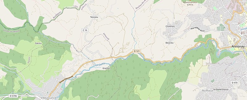
This map of
|
|||||||||
| Date | ||||||||||
| Source | openstreetmap.org | |||||||||
| Creator |
openstreetmap.fr OpenStreetMap contributors |
|||||||||
| Permission (Reusing this file) |
OpenStreetMap data is available under the Open Database License (details). Map tiles are licensed under the Creative Commons Attribution-ShareAlike 2.0 license (CC-BY-SA 2.0).
This file is licensed under the Creative Commons Attribution-Share Alike 2.0 Generic license.
|
|||||||||
| Geotemporal data | ||||||||||
| Bounding box |
|
|||||||||
File history
Click on a date/time to view the file as it appeared at that time.
| Date/Time | Thumbnail | Dimensions | User | Comment | |
|---|---|---|---|---|---|
| current | 08:33, 20 May 2020 | 1,192 × 484 (133 KB) | Sarang (talk | contribs) | {{openstreetmap |name= |location={{Object location|45°14′54.6″N 04°36′28.9″E|dim:2000}} |description={{fr|{{Wf|Annonay}}, {{Wf|Roiffieux}}, {{Wf|Annonay#Toissieu|Toissieu}}, {{Wf|Villevocance}} (OSM)}} |date=2020-05-19 |authors=openstreetmap.fr |warp_status=skip |top =45.2521112 |bottom=45.2205008 |left =4.5677376 |right =4.6818066 }} an OSM map an OSM map an OSM map an OSM map |
You cannot overwrite this file.
File usage on Commons
There are no pages that use this file.