File:Ohio Country en.png
Salta a la navegació
Salta a la cerca
Mida d'aquesta previsualització: 793 × 599 píxels. Altres resolucions: 318 × 240 píxels | 635 × 480 píxels | 1.016 × 768 píxels | 1.217 × 920 píxels.
Fitxer original (1.217 × 920 píxels, mida del fitxer: 1,41 Mo, tipus MIME: image/png)
Llegendes
Llegendes
Afegeix una explicació d'una línia del que representa aquest fitxer
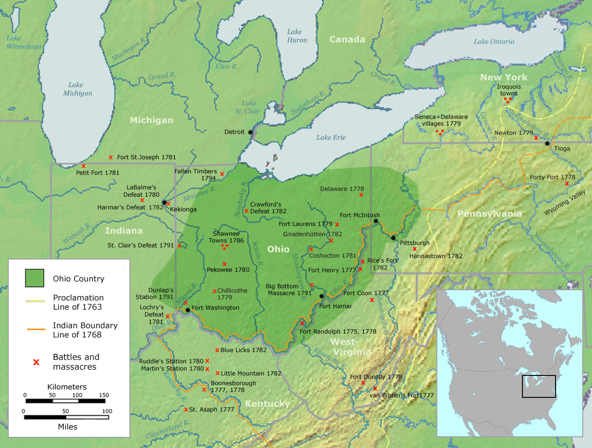
Map of the Ohio Country
| Descripció | Map of the Ohio Country (English version) | ||||
| Data | |||||
| Font | Own work by Nikater, submitted to the public domain. Background map courtesy of Demis, www.demis.nl and Wilcomb E. Washburn (Hrsg.) Handbook of North American Indians. Vol. 4: History of Indian-White Relations. Smithsonian Institution Press, Washington D.C. 1988. ISBN 0-16004-583-5 | ||||
| Autor | User:Nikater | ||||
| Permís (Com reutilitzar aquest fitxer) |
|
||||
| Altres versions | Deutsch |
Historial del fitxer
Cliqueu una data/hora per veure el fitxer tal com era aleshores.
| Data/hora | Miniatura | Dimensions | Usuari/a | Comentari | |
|---|---|---|---|---|---|
| actual | 06:20, 21 set 2007 | | 1.217 × 920 (1,41 Mo) | Nikater (discussió | contribucions) | {{Information |Description=Map of the Ohio Country (English version) |Source=Own work by Nikater, submitted to the public domain. Background map courtesy of Demis, www.demis.nl and Wilcomb E. Washburn (Hrsg.) ''Handbook of North American Indians.'' Vol. 4 |
| 11:50, 20 set 2007 |  | 1.217 × 920 (1,41 Mo) | Nikater (discussió | contribucions) | {{Information |Description=Map of the Ohio Country (English version) |Source=Own work by Nikater, submitted to the public domain. Background map courtesy of Demis, www.demis.nl and Wilcomb E. Washburn (Hrsg.) ''Handbook of North American Indians.'' Vol. 4 | |
| 20:21, 17 set 2007 |  | 1.217 × 920 (1,41 Mo) | Nikater (discussió | contribucions) | {{Information |Description=Map of the Ohio Country (English version) |Source=Own work by Nikater, submitted to the public domain. Background map courtesy of Demis, www.demis.nl and Wilcomb E. Washburn (Hrsg.) ''Handbook of North American Indians.'' Vol. 4 | |
| 20:05, 17 set 2007 |  | 1.217 × 920 (1,41 Mo) | Nikater (discussió | contribucions) | {{Information |Description=Map of the Ohio Country (English version) |Source=Own work by Nikater, submitted to the public domain. Background map courtesy of Demis, www.demis.nl and Wilcomb E. Washburn (Hrsg.) ''Handbook of North American Indians.'' Vol. 4 |
No podeu sobreescriure aquest fitxer.
Ús del fitxer
La pàgina següent utilitza aquest fitxer:
Ús global del fitxer
Utilització d'aquest fitxer en altres wikis:
- Utilització a ar.wikipedia.org
- Utilització a arz.wikipedia.org
- Utilització a ast.wikipedia.org
- Utilització a bn.wikipedia.org
- Utilització a ca.wikipedia.org
- Utilització a cs.wikipedia.org
- Utilització a en.wikipedia.org
- Utilització a es.wikipedia.org
- Utilització a fr.wikipedia.org
- Utilització a gl.wikipedia.org
- Utilització a id.wikipedia.org
- Utilització a ja.wikipedia.org
- Utilització a ko.wikipedia.org
- Utilització a ms.wikipedia.org
- Utilització a no.wikipedia.org
- Utilització a pl.wikipedia.org
- Utilització a ro.wikipedia.org
- Utilització a ru.wikipedia.org
- Utilització a so.wikipedia.org
- Utilització a sq.wikipedia.org
- Utilització a sv.wikipedia.org
- Utilització a tr.wikipedia.org
- Utilització a www.wikidata.org
Categories:
- Maps of the history of the United States
- Maps of Native American tribal territories
- Battles involving Native Americans in the 18th century
- Ohio Country
- Handbook of North American Indians
- History of indigenous peoples of the Great Lakes Region
- Battles in Ohio
- Battles in Indiana
- Battles in Michigan
- Battles in Pennsylvania
- Battles in New York (state)
- Battles in Kentucky
- Battles in West Virginia
- Maps of the Northwest Indian War
- Kekionga
- Munsee
- Hannastown, Pennsylvania
- Maps of the history of Ohio
- Maps of the history of Indiana
- Maps of the history of Kentucky
- 18th-century maps of the United States