File:Ohrntal-Radweg Brücke 1.jpg
Jump to navigation
Jump to search

Size of this preview: 791 × 599 pixels. Other resolutions: 317 × 240 pixels | 634 × 480 pixels | 1,014 × 768 pixels | 1,280 × 970 pixels | 2,560 × 1,940 pixels | 4,280 × 3,243 pixels.
Original file (4,280 × 3,243 pixels, file size: 445 KB, MIME type: image/jpeg)
Captions
Captions
Add a one-line explanation of what this file represents
Summary[edit]
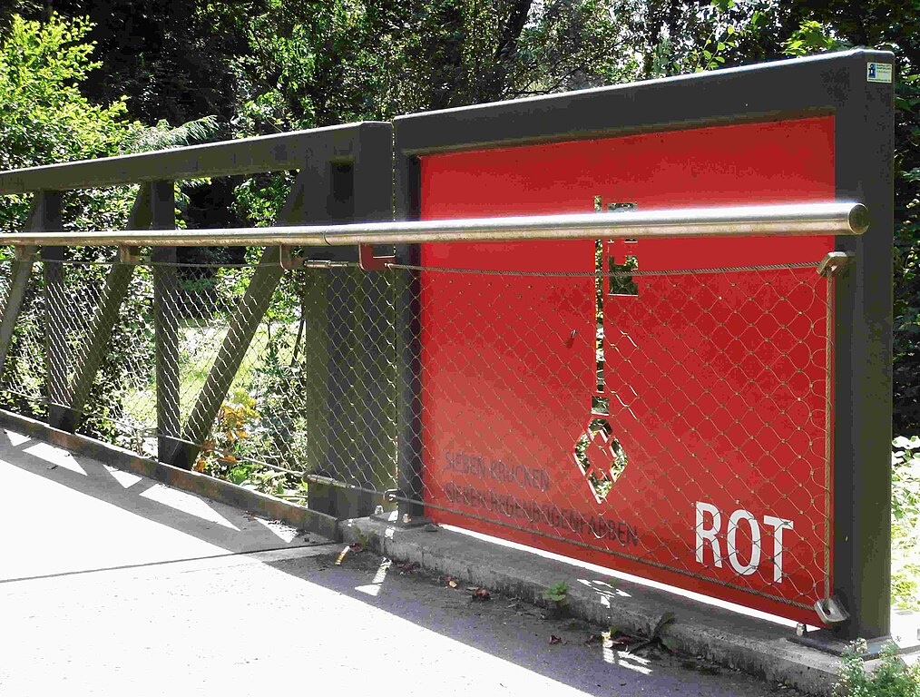
| Description | Der Ohrntal-Radweg: die 1. Brücke ist rot |
| Date | |
| Source | Own work |
| Author | Sarang |
| Object location | | View this and other nearby images on: OpenStreetMap |
|---|
Licensing[edit]
| I, the copyright holder of this work, release this work into the public domain. This applies worldwide. In some countries this may not be legally possible; if so: I grant anyone the right to use this work for any purpose, without any conditions, unless such conditions are required by law. |
File history
Click on a date/time to view the file as it appeared at that time.
| Date/Time | Thumbnail | Dimensions | User | Comment | |
|---|---|---|---|---|---|
| current | 08:03, 30 July 2021 | | 4,280 × 3,243 (445 KB) | Sarang (talk | contribs) | {{Information |Description=Der Ohrntal-Radweg: die 1. Brücke ist rot |Date=2021-07-29 |Source={{own}} |Author={{u|Sarang}} }} == {{int:license-header}} == {{PD-self}} Category:Ohrntal-Radweg |
You cannot overwrite this file.
File usage on Commons
The following 3 pages use this file: