File:Oman location map.svg
Jump to navigation
Jump to search

Size of this PNG preview of this SVG file: 460 × 599 pixels. Other resolutions: 184 × 240 pixels | 369 × 480 pixels | 590 × 768 pixels | 786 × 1,024 pixels | 1,573 × 2,048 pixels | 980 × 1,276 pixels.
Original file (SVG file, nominally 980 × 1,276 pixels, file size: 177 KB)
Captions
Captions
Add a one-line explanation of what this file represents
Summary[edit]
| Description |
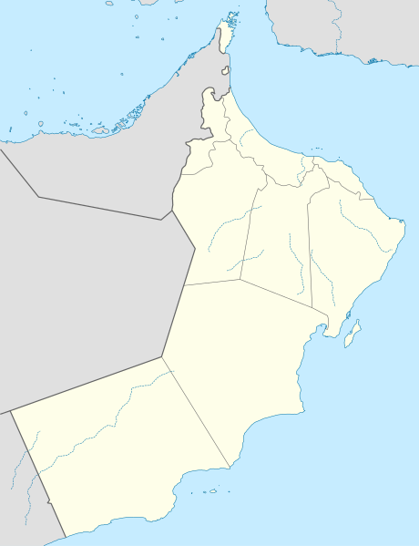
Deutsch: Positionskarte von Oman
Quadratische Plattkarte, N-S-Streckung 107 %. Geographische Begrenzung der Karte:
English: Location map of Oman
Equirectangular projection, N/S stretching 107 %. Geographic limits of the map:
|
| Date | |
| Source |
Own work, using
|
| Author | NordNordWest |
| Other versions |
Derivative works of this file:
|


|
This map has been made or improved in the German Kartenwerkstatt (Map Lab). You can propose maps to improve as well.
|
Licensing[edit]
I, the copyright holder of this work, hereby publish it under the following license:
This file is licensed under the Creative Commons Attribution-Share Alike 3.0 Unported license.
- You are free:
- to share – to copy, distribute and transmit the work
- to remix – to adapt the work
- Under the following conditions:
- attribution – You must give appropriate credit, provide a link to the license, and indicate if changes were made. You may do so in any reasonable manner, but not in any way that suggests the licensor endorses you or your use.
- share alike – If you remix, transform, or build upon the material, you must distribute your contributions under the same or compatible license as the original.
File history
Click on a date/time to view the file as it appeared at that time.
| Date/Time | Thumbnail | Dimensions | User | Comment | |
|---|---|---|---|---|---|
| current | 08:14, 14 April 2011 | | 980 × 1,276 (177 KB) | NordNordWest (talk | contribs) | upd |
| 12:12, 6 July 2009 |  | 980 × 1,276 (276 KB) | NordNordWest (talk | contribs) | {{Information |Description= {{de|Positionskarte von Oman}} Quadratische Plattkarte, N-S-Streckung 107 %. Geographische Begrenzung der Karte: * N: 26.6° N * S: 16.5° N * W: 51.8° O * O: 60.1° O {{en|Location map of Oman}} Equi |
You cannot overwrite this file.
File usage
The following 11 pages use this file:
- User:NordNordWest/Gallery/Location maps
- File:Ad Dakhiliyah in Oman.svg
- File:Ad Dhahirah in Oman.svg
- File:Al Batinah in Oman.svg
- File:Al Buraymi in Oman.svg
- File:Al Wusta in Oman.svg
- File:Ash Sharqiyah in Oman.svg
- File:Dhofar in Oman.svg
- File:Musandam in Oman.svg
- File:Muscat in Oman.svg
- File:Oman relief location map.jpg
Global file usage
The following other wikis use this file:
- Usage on af.wikipedia.org
- Usage on an.wikipedia.org
- Usage on ar.wikipedia.org
- Usage on az.wikipedia.org
- Usage on ba.wikipedia.org
- Usage on be-tarask.wikipedia.org
- Usage on be.wikipedia.org
- Usage on bg.wikipedia.org
- Usage on bs.wikipedia.org
- Usage on ceb.wikipedia.org
View more global usage of this file.