File:Ouvrage-G-niveau0.svg
Jump to navigation
Jump to search

Size of this PNG preview of this SVG file: 424 × 599 pixels. Other resolutions: 170 × 240 pixels | 339 × 480 pixels | 543 × 768 pixels | 724 × 1,024 pixels | 1,448 × 2,048 pixels | 2,980 × 4,213 pixels.
Original file (SVG file, nominally 2,980 × 4,213 pixels, file size: 105 KB)
Captions
Captions
Add a one-line explanation of what this file represents
Summary
[edit]| Description |
This SVG file was uploaded with Commonist.
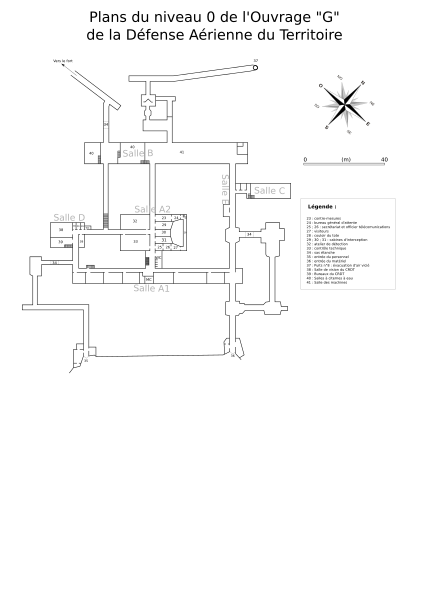
This W3C-unspecified vector image was created with Inkscape . Français : Plans du niveau 0 de l'Ouvrage "G" de la Défense Aérienne du Territoire, Belfort, France. |
||||||||||||||||||||||
| Date | |||||||||||||||||||||||
| Source | Own work | ||||||||||||||||||||||
| Author |
|
||||||||||||||||||||||


Licensing
[edit]
This file is licensed under the Creative Commons Attribution 3.0 Unported license.
- You are free:
- to share – to copy, distribute and transmit the work
- to remix – to adapt the work
- Under the following conditions:
- attribution – You must give appropriate credit, provide a link to the license, and indicate if changes were made. You may do so in any reasonable manner, but not in any way that suggests the licensor endorses you or your use.
File history
Click on a date/time to view the file as it appeared at that time.
| Date/Time | Thumbnail | Dimensions | User | Comment | |
|---|---|---|---|---|---|
| current | 16:34, 14 August 2014 | | 2,980 × 4,213 (105 KB) | ComputerHotline (talk | contribs) | == {{int:filedesc}} == {{Information |Description={{Commonist}}{{translation possible}} {{Created with Inkscape}}{{fr|Plans du niveau 0 de l'Ouvrage "G" de la Défense Aérienne du Territoire, Belfort, France.}} |Source={{own}} |Date=2014-08-14 |Author... |
You cannot overwrite this file.
File usage on Commons
There are no pages that use this file.