File:PHOTOCOPY OF MAP OF CONNERSVILLE FROM 1856 ORIGINAL - P. H. and F. M. Roots Company, Eastern Avenue, Connersville, Fayette County, IN HAER IND,21-CONVI,10-4.tif
Jump to navigation
Jump to search

Size of this JPG preview of this TIF file: 462 × 600 pixels. Other resolutions: 185 × 240 pixels | 370 × 480 pixels | 592 × 768 pixels | 789 × 1,024 pixels | 1,578 × 2,048 pixels | 3,848 × 4,994 pixels.
Original file (3,848 × 4,994 pixels, file size: 18.33 MB, MIME type: image/tiff)
Captions
Captions
Add a one-line explanation of what this file represents
Summary
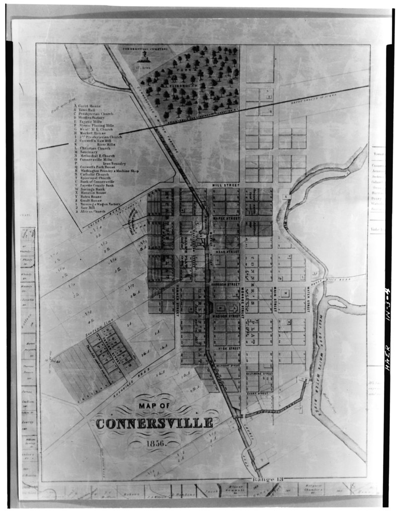
[edit]| PHOTOCOPY OF MAP OF CONNERSVILLE FROM 1856 ORIGINAL - P. H. and F. M. Roots Company, Eastern Avenue, Connersville, Fayette County, IN | ||||
|---|---|---|---|---|
| Title |
PHOTOCOPY OF MAP OF CONNERSVILLE FROM 1856 ORIGINAL - P. H. and F. M. Roots Company, Eastern Avenue, Connersville, Fayette County, IN |
|||
| Description |
Roots, Francis Marion; Roots, Philander H; Boucher, Jack E; Bruegmann, Robert |
|||
| Depicted place | Indiana; Fayette County; Connersville | |||
| Date | Documentation compiled after 1968 | |||
| Dimensions | 5 x 7 in. | |||
| Current location |
Library of Congress Prints and Photographs Division Washington, D.C. 20540 USA http://hdl.loc.gov/loc.pnp/pp.print |
|||
| Accession number |
HAER IND,21-CONVI,10-4 |
|||
| Credit line |
|
|||
| Notes |
|
|||
| Source | https://www.loc.gov/pictures/item/in0199.photos.064433p | |||
| Permission (Reusing this file) |
|
|||

File history
Click on a date/time to view the file as it appeared at that time.
| Date/Time | Thumbnail | Dimensions | User | Comment | |
|---|---|---|---|---|---|
| current | 07:13, 18 July 2014 |  | 3,848 × 4,994 (18.33 MB) | Fæ (talk | contribs) | GWToolset: Creating mediafile for Fæ. HABS 16 July 2014 (1201:1400) |
You cannot overwrite this file.
File usage on Commons
The following page uses this file: