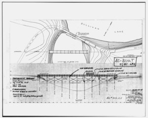
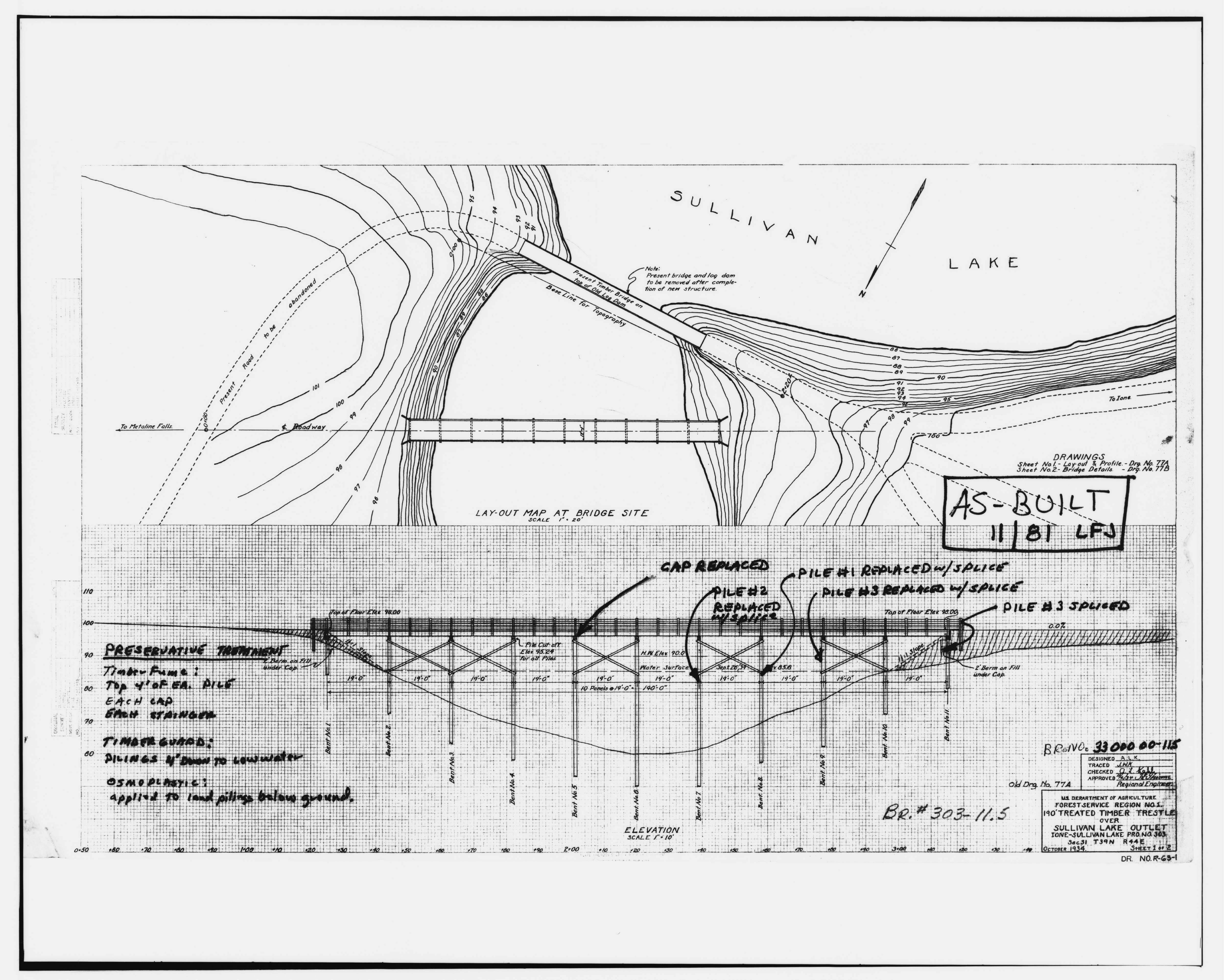
File:Photocopy of drawing. 190 TREATED TIMBER TRESTLE OVER SULLIVAN LAKE OUTLET. DRAWING NO. R-63-1. - Outlet Creek Bridge, Sullivan Lake Ranger Administrative Site, Metaline HAER WASH,26-METFA.V,1-11.tif
Jump to navigation
Jump to search

Size of this JPG preview of this TIF file: 749 × 600 pixels. Other resolutions: 300 × 240 pixels | 600 × 480 pixels | 959 × 768 pixels | 1,279 × 1,024 pixels | 2,558 × 2,048 pixels | 5,000 × 4,004 pixels.
Original file (5,000 × 4,004 pixels, file size: 19.1 MB, MIME type: image/tiff)
Captions
Captions
Add a one-line explanation of what this file represents
Summary
[edit]| Photocopy of drawing. 190 TREATED TIMBER TRESTLE OVER SULLIVAN LAKE OUTLET. DRAWING NO. R-63-1. - Outlet Creek Bridge, Sullivan Lake Ranger Administrative Site, Metaline Falls, Pend Oreille County, WA | ||||
|---|---|---|---|---|
| Title |
Photocopy of drawing. 190 TREATED TIMBER TRESTLE OVER SULLIVAN LAKE OUTLET. DRAWING NO. R-63-1. - Outlet Creek Bridge, Sullivan Lake Ranger Administrative Site, Metaline Falls, Pend Oreille County, WA |
|||
| Depicted place | Washington; Pend Oreille County; Metaline Falls | |||
| Date | Documentation compiled after 1968 | |||
| Dimensions | 8 x 10 in. | |||
| Current location |
Library of Congress Prints and Photographs Division Washington, D.C. 20540 USA http://hdl.loc.gov/loc.pnp/pp.print |
|||
| Accession number |
HAER WASH,26-METFA.V,1-11 |
|||
| Credit line |
|
|||
| Notes |
|
|||
| Source | https://www.loc.gov/pictures/item/wa0484.photos.370692p | |||
| Permission (Reusing this file) |
|
|||

File history
Click on a date/time to view the file as it appeared at that time.
| Date/Time | Thumbnail | Dimensions | User | Comment | |
|---|---|---|---|---|---|
| current | 21:37, 4 August 2014 |  | 5,000 × 4,004 (19.1 MB) | Fæ (talk | contribs) | GWToolset: Creating mediafile for Fæ. HABS 2014-08-04 (3601:3800) Penultimate Tranche! |
You cannot overwrite this file.
File usage on Commons
The following page uses this file: