File:SOUTH ELEVATION, LOOKING EAST - K Street Bridge, Spanning Rock Creek and Potomac Parkway, Washington, District of Columbia, DC HAER DC,WASH,603-3.tif
Jump to navigation
Jump to search

Size of this JPG preview of this TIF file: 800 × 577 pixels. Other resolutions: 320 × 231 pixels | 640 × 462 pixels | 1,024 × 739 pixels | 1,280 × 924 pixels | 2,560 × 1,848 pixels | 5,000 × 3,609 pixels.
Original file (5,000 × 3,609 pixels, file size: 17.21 MB, MIME type: image/tiff)
Captions
Captions
Add a one-line explanation of what this file represents
Summary[edit]
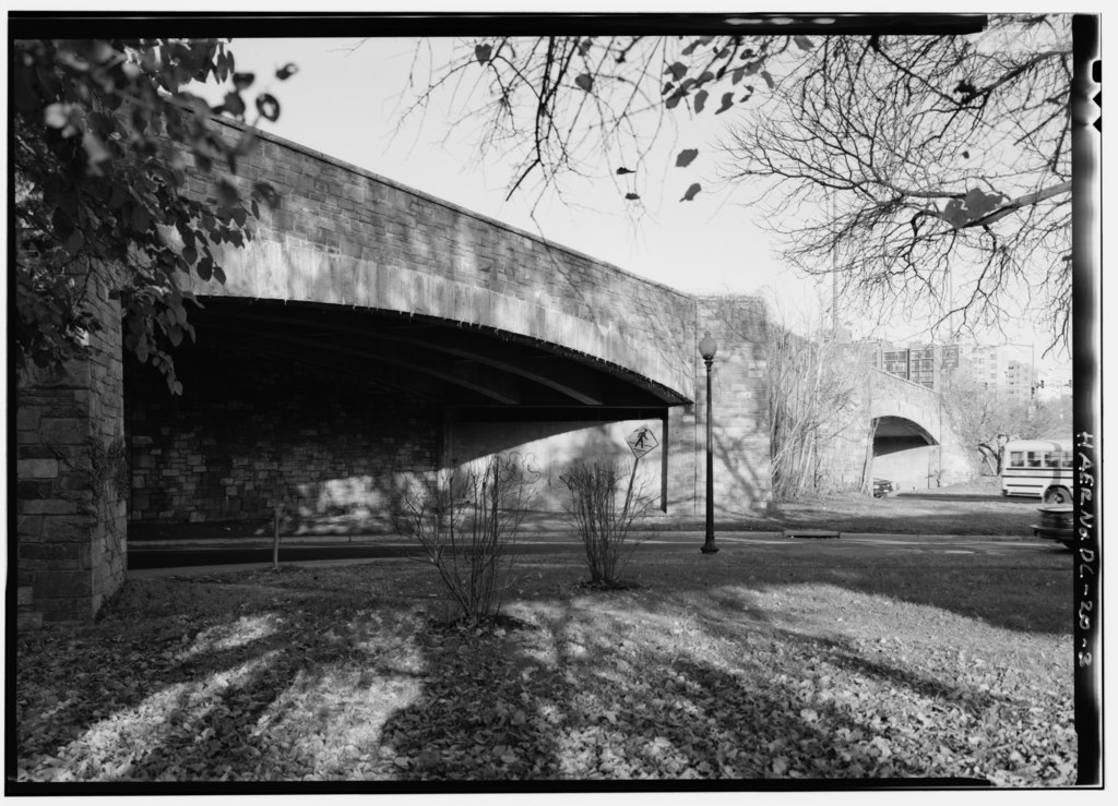
| SOUTH ELEVATION, LOOKING EAST - K Street Bridge, Spanning Rock Creek and Potomac Parkway, Washington, District of Columbia, DC | ||||
|---|---|---|---|---|
| Photographer |
Boucher, Jack E. Related names:
|
|||
| Title |
SOUTH ELEVATION, LOOKING EAST - K Street Bridge, Spanning Rock Creek and Potomac Parkway, Washington, District of Columbia, DC |
|||
| Depicted place | District of Columbia; District of Columbia; Washington | |||
| Date | 1993 | |||
| Dimensions | 5 x 7 in. | |||
| Current location |
Library of Congress Prints and Photographs Division Washington, D.C. 20540 USA http://hdl.loc.gov/loc.pnp/pp.print |
|||
| Accession number |
HAER DC,WASH,603-3 |
|||
| Credit line |
|
|||
| Notes |
|
|||
| Source | https://www.loc.gov/pictures/item/dc0757.photos.047801p | |||
| Permission (Reusing this file) |
|
|||

| Camera location | | View this and other nearby images on: OpenStreetMap |
|---|
File history
Click on a date/time to view the file as it appeared at that time.
| Date/Time | Thumbnail | Dimensions | User | Comment | |
|---|---|---|---|---|---|
| current | 16:35, 10 July 2014 |  | 5,000 × 3,609 (17.21 MB) | Fæ (talk | contribs) | GWToolset: Creating mediafile for Fæ. HABS 08 July 2014 (701:800) |
You cannot overwrite this file.
File usage on Commons
The following page uses this file: